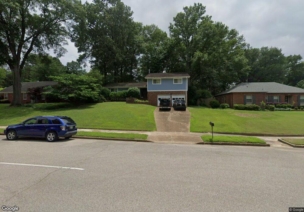
5649 Rich Rd Memphis, TN 38120
East Memphis NeighborhoodEstimated Value: $339,000 - $364,000
4
Beds
3
Baths
2,121
Sq Ft
$166/Sq Ft
Est. Value
About This Home
This home is located at 5649 Rich Rd, Memphis, TN 38120 and is currently estimated at $352,722, approximately $166 per square foot. 5649 Rich Rd is a home located in Shelby County with nearby schools including Richland Elementary School, White Station Middle, and White Station High.
Ownership History
Date
Name
Owned For
Owner Type
Purchase Details
Closed on
Aug 4, 2004
Sold by
Saharovici Leonid and Saharovici Frida
Bought by
Oguin Jason and Oguin Sharon
Current Estimated Value
Home Financials for this Owner
Home Financials are based on the most recent Mortgage that was taken out on this home.
Original Mortgage
$154,000
Outstanding Balance
$77,328
Interest Rate
6.19%
Mortgage Type
Purchase Money Mortgage
Estimated Equity
$275,394
Create a Home Valuation Report for This Property
The Home Valuation Report is an in-depth analysis detailing your home's value as well as a comparison with similar homes in the area
Home Values in the Area
Average Home Value in this Area
Purchase History
| Date | Buyer | Sale Price | Title Company |
|---|---|---|---|
| Oguin Jason | $192,500 | -- |
Source: Public Records
Mortgage History
| Date | Status | Borrower | Loan Amount |
|---|---|---|---|
| Open | Oguin Jason | $154,000 | |
| Closed | Oguin Jason | $38,500 |
Source: Public Records
Tax History
| Year | Tax Paid | Tax Assessment Tax Assessment Total Assessment is a certain percentage of the fair market value that is determined by local assessors to be the total taxable value of land and additions on the property. | Land | Improvement |
|---|---|---|---|---|
| 2025 | $2,248 | $83,450 | $18,175 | $65,275 |
| 2024 | $2,248 | $66,300 | $18,175 | $48,125 |
| 2023 | $4,039 | $66,300 | $18,175 | $48,125 |
| 2022 | $4,039 | $66,300 | $18,175 | $48,125 |
| 2021 | $4,225 | $70,325 | $19,125 | $51,200 |
| 2020 | $3,949 | $54,500 | $15,900 | $38,600 |
| 2019 | $3,949 | $54,500 | $15,900 | $38,600 |
| 2018 | $3,949 | $54,500 | $15,900 | $38,600 |
| 2017 | $2,240 | $54,500 | $15,900 | $38,600 |
| 2016 | $2,039 | $46,650 | $0 | $0 |
| 2014 | $2,039 | $46,650 | $0 | $0 |
Source: Public Records
Map
Nearby Homes
- 179 Richbriar St
- 5681 Normandy Rd
- 5585 Milford Rd
- 5737 Buxbriar Ave
- 248 N Yates Rd
- 5704 Ashbriar Ave
- 5575 Walnut Grove Rd
- 5734 Dunwoody Ave
- 5557 Mason Rd
- 5572 Mason Rd
- 5429 Walnut Grove Rd
- 99 Lynnfield St
- 5385 Walnut Grove Rd
- 377 Fountain Lake Dr
- 5347 Denwood Ave
- 5524 Fountain Bay Dr
- 5330 Walnut Grove Rd
- 5312 Brenton Ave
- 182 Brenrich Cove S
- 5285 Normandy Rd
Your Personal Tour Guide
Ask me questions while you tour the home.