565 Anderson Hollow Rd Savannah, TN 38372
Estimated Value: $730,000 - $957,000
--
Bed
5
Baths
3,871
Sq Ft
$225/Sq Ft
Est. Value
About This Home
This home is located at 565 Anderson Hollow Rd, Savannah, TN 38372 and is currently estimated at $870,901, approximately $224 per square foot. 565 Anderson Hollow Rd is a home located in Hardin County with nearby schools including Hardin County High School.
Ownership History
Date
Name
Owned For
Owner Type
Purchase Details
Closed on
Jul 10, 2013
Sold by
Linkous R E
Bought by
Clara Linkous Russell E and Clara Clara
Current Estimated Value
Purchase Details
Closed on
Sep 8, 1997
Sold by
Orr John R
Bought by
Pickard Linda
Purchase Details
Closed on
Sep 10, 1993
Bought by
Orr John R and Orr Jacqueline B
Purchase Details
Closed on
May 16, 1991
Bought by
Cima Louis and Cima Carol
Purchase Details
Closed on
Apr 26, 1990
Purchase Details
Closed on
Dec 27, 1989
Purchase Details
Closed on
May 11, 1988
Bought by
Blasingame E Benard
Purchase Details
Closed on
Jan 6, 1987
Bought by
Blasingame E Benard
Purchase Details
Closed on
Jun 12, 1969
Bought by
Tenn River Pulp and Tenn Paper
Create a Home Valuation Report for This Property
The Home Valuation Report is an in-depth analysis detailing your home's value as well as a comparison with similar homes in the area
Home Values in the Area
Average Home Value in this Area
Purchase History
| Date | Buyer | Sale Price | Title Company |
|---|---|---|---|
| Clara Linkous Russell E | -- | -- | |
| Pickard Linda | $395,000 | -- | |
| Orr John R | $65,000 | -- | |
| Cima Louis | -- | -- | |
| -- | -- | -- | |
| -- | -- | -- | |
| Blasingame E Benard | -- | -- | |
| Blasingame E Benard | -- | -- | |
| Tenn River Pulp | -- | -- |
Source: Public Records
Tax History Compared to Growth
Tax History
| Year | Tax Paid | Tax Assessment Tax Assessment Total Assessment is a certain percentage of the fair market value that is determined by local assessors to be the total taxable value of land and additions on the property. | Land | Improvement |
|---|---|---|---|---|
| 2024 | $3,567 | $203,850 | $31,250 | $172,600 |
| 2023 | $3,567 | $203,850 | $31,250 | $172,600 |
| 2022 | $2,887 | $140,150 | $31,250 | $108,900 |
| 2021 | $2,887 | $140,150 | $31,250 | $108,900 |
| 2020 | $2,887 | $140,150 | $31,250 | $108,900 |
| 2019 | $2,887 | $140,150 | $31,250 | $108,900 |
| 2018 | $2,791 | $140,150 | $31,250 | $108,900 |
| 2017 | $2,963 | $142,475 | $31,250 | $111,225 |
| 2016 | $2,963 | $142,475 | $31,250 | $111,225 |
| 2015 | $2,593 | $142,475 | $31,250 | $111,225 |
| 2014 | $2,593 | $142,475 | $31,250 | $111,225 |
Source: Public Records
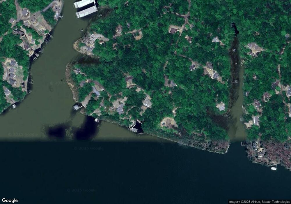
Map
Nearby Homes
- 0 Ridge View
- 405 Anderson Hollow Rd
- 60 Point Grand Bluff
- 198 Deer Path Unit 5
- 525 Sailboat Point
- 200 Deer Path
- 1520 Point Grand Dr
- 1720 Point Grand Dr
- 40 Buck Rub Cove
- 00 Breeze Point
- 6 Breeze Point
- 123 Breeze Point
- 3 Breeze Point
- 12 Breeze Point
- 85 Breeze Point
- 70 Point Clear Cove
- 0 Breeze Point Unit RTC2922640
- 120 Pier Point
- 305 Anchor Bay Point
- 315 Anchor Bay Point
- 269 Anderson Hollow Rd
- 268 Anderson Hollow Rd
- 234 Anderson Hollow Rd
- 275 Anderson Hollow Rd
- 159 Anderson Hollow Rd
- 645 Anderson Hollow Rd
- 0 Hawks Nest Path
- 190&191 Hawks Nest Path
- 190 & 191A Hawks Nest Path
- 191B Hawks Nest Path
- 620 Anderson Hollow Rd
- 90 Hawks Nest Path
- 15 Hawks Nest Path
- 655 Anderson Hollow Rd
- 665 Anderson Hollow Rd
- 685 Anderson Hollow Rd
- 50 Lake Bluff Path
- 115 Ridge View Dr
- 00 Lake Bluff Path
- 90 Lake Bluff Path