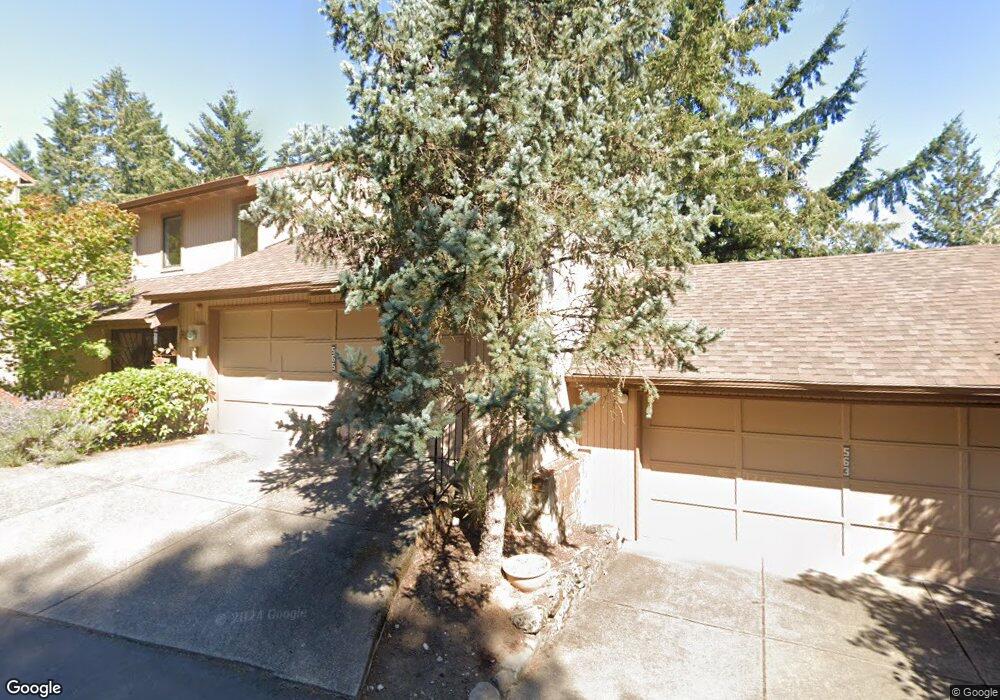
565 Montara Way Eugene, OR 97405
Crest Drive NeighborhoodEstimated Value: $340,000 - $541,450
3
Beds
3
Baths
1,738
Sq Ft
$272/Sq Ft
Est. Value
About This Home
This home is located at 565 Montara Way, Eugene, OR 97405 and is currently estimated at $472,863, approximately $272 per square foot. 565 Montara Way is a home located in Lane County with nearby schools including Edgewood Community Elementary School, Spencer Butte Middle School, and South Eugene High School.
Ownership History
Date
Name
Owned For
Owner Type
Purchase Details
Closed on
Jun 7, 2016
Sold by
Perry Laurence P and Perry Joann E
Bought by
Preston Erazo Karen
Current Estimated Value
Purchase Details
Closed on
May 19, 2003
Sold by
Mccarty Lois F
Bought by
Perry Laurence P and Perry Joann E
Purchase Details
Closed on
Feb 17, 1999
Sold by
Mccarty Lois F
Bought by
Mccarty Lois F and Mccarty Living Trust
Home Financials for this Owner
Home Financials are based on the most recent Mortgage that was taken out on this home.
Original Mortgage
$87,000
Interest Rate
6.79%
Purchase Details
Closed on
Feb 8, 1999
Sold by
Mccarty Lois F
Bought by
Mccarty Lois F
Home Financials for this Owner
Home Financials are based on the most recent Mortgage that was taken out on this home.
Original Mortgage
$87,000
Interest Rate
6.79%
Create a Home Valuation Report for This Property
The Home Valuation Report is an in-depth analysis detailing your home's value as well as a comparison with similar homes in the area
Home Values in the Area
Average Home Value in this Area
Purchase History
| Date | Buyer | Sale Price | Title Company |
|---|---|---|---|
| Preston Erazo Karen | $235,000 | Cascade Title Company | |
| Perry Laurence P | $160,300 | Western Title & Escrow Compa | |
| Mccarty Lois F | -- | Cascade Title Co | |
| Mccarty Lois F | -- | Cascade Title Co |
Source: Public Records
Mortgage History
| Date | Status | Borrower | Loan Amount |
|---|---|---|---|
| Previous Owner | Mccarty Lois F | $87,000 |
Source: Public Records
Tax History
| Year | Tax Paid | Tax Assessment Tax Assessment Total Assessment is a certain percentage of the fair market value that is determined by local assessors to be the total taxable value of land and additions on the property. | Land | Improvement |
|---|---|---|---|---|
| 2025 | $5,710 | $293,087 | -- | -- |
| 2024 | $5,639 | $284,551 | -- | -- |
| 2023 | $5,639 | $276,264 | $0 | $0 |
| 2022 | $5,283 | $268,218 | $0 | $0 |
| 2021 | $4,962 | $260,406 | $0 | $0 |
| 2020 | $4,980 | $252,822 | $0 | $0 |
| 2019 | $4,809 | $245,459 | $0 | $0 |
| 2018 | $4,527 | $231,369 | $0 | $0 |
| 2017 | $4,207 | $231,369 | $0 | $0 |
| 2016 | $3,983 | $224,630 | $0 | $0 |
| 2015 | $3,852 | $218,087 | $0 | $0 |
| 2014 | $3,749 | $211,735 | $0 | $0 |
Source: Public Records
Map
Nearby Homes
- 0 Pine View Ct Unit 758820410
- 418 Stonewood Dr Unit 418
- 422 Stonewood Dr Unit 422
- 223 Trailside Loop Unit 223
- 365 Brae Burn Dr
- 151 Treehill Loop Unit 151
- 278 Rockridge Ct
- 152 Treehill Loop Unit 152
- 143 Treehill Loop Unit 143
- 126 Treehill Loop Unit 126
- 4040 Southpointe Dr
- 4344 Blanton Rd
- 36 Westbrook Way
- 21 Westbrook Way
- 17 Westbrook Way
- 806 Sundance St
- 0 W 40th Ave Unit 3 545854116
- 0 W 40th Ave Unit 3 639571582
- 3854 Monroe St
- 4734 Brookwood St
- 563 Montara Way
- 567 Montara Way
- 561 Montara Way
- 569 Montara Way
- 602 Montara Way
- 606 Montara Way
- 559 Montara Way
- 608 Montara Way
- 557 Montara Way
- 610 Montara Way
- 609 Montara Way
- 555 Montara Way
- 653 Brookside Dr
- 611 Montara Way
- 612 Montara Way
- 651 Brookside Dr
- 553 Montara Way
- 615 Montara Way
- 551 Montara Way
- 955 Be Ell Place
Your Personal Tour Guide
Ask me questions while you tour the home.