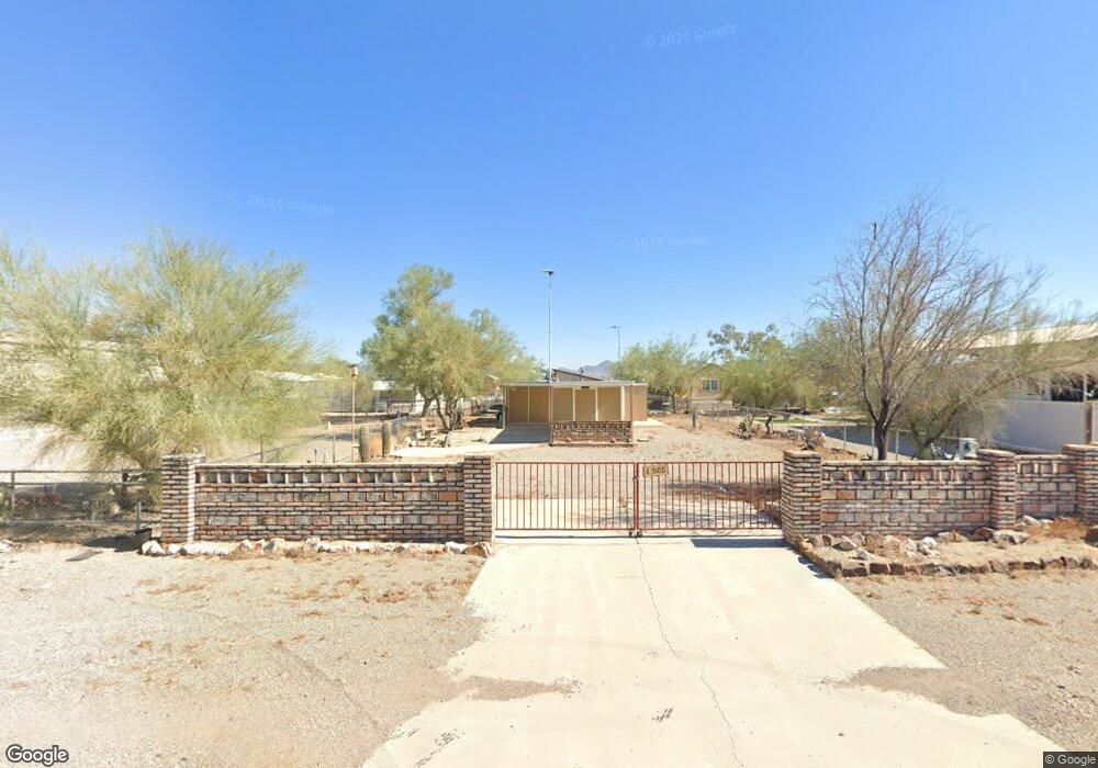
565 S Adobe Ln Quartzsite, AZ 85346
Estimated Value: $55,839 - $114,000
Studio
--
Bath
--
Sq Ft
5,227
Sq Ft Lot
About This Home
This home is located at 565 S Adobe Ln, Quartzsite, AZ 85346 and is currently estimated at $86,960. 565 S Adobe Ln is a home with nearby schools including Salome High School.
Ownership History
Date
Name
Owned For
Owner Type
Purchase Details
Closed on
Mar 22, 2022
Sold by
Stoppel Paul E and Stoppel Catherine S
Bought by
Blaser Oscar Martin and Blaser-Stine Connie Lynn
Current Estimated Value
Purchase Details
Closed on
Mar 14, 2022
Sold by
Stoppel Paul E and Stoppel Catherine S
Bought by
Blaser Oscar Martin and Blaser-Stine Connie Lynn
Purchase Details
Closed on
Feb 4, 2021
Sold by
Johnson Darrell S and Johnson Lorraine A
Bought by
Stoppel Paul E and Stoppel Catherine S
Purchase Details
Closed on
Apr 14, 2005
Sold by
Blasingame James L
Bought by
Lauritzen Tyree N and Lauritzen Eric R
Purchase Details
Closed on
Jan 7, 2005
Sold by
Lauritzen Tyree N and Lauritzen Eric R
Bought by
Johnson Darrell S and Johnson Lorraine A
Create a Home Valuation Report for This Property
The Home Valuation Report is an in-depth analysis detailing your home's value as well as a comparison with similar homes in the area
Purchase History
| Date | Buyer | Sale Price | Title Company |
|---|---|---|---|
| Blaser Oscar Martin | $55,000 | Driggs Title Agency | |
| Blaser Oscar Martin | $55,000 | Driggs Title Agency | |
| Stoppel Paul E | -- | Pioneer Title | |
| Lauritzen Tyree N | $32,000 | La Paz Title | |
| Johnson Darrell S | $41,000 | None Available |
Source: Public Records
Tax History
| Year | Tax Paid | Tax Assessment Tax Assessment Total Assessment is a certain percentage of the fair market value that is determined by local assessors to be the total taxable value of land and additions on the property. | Land | Improvement |
|---|---|---|---|---|
| 2026 | $482 | $31,401 | -- | -- |
| 2025 | $482 | $29,906 | -- | -- |
| 2023 | $482 | $27,126 | $0 | $0 |
| 2022 | $424 | $25,834 | $0 | $0 |
| 2021 | $539 | $29,278 | $0 | $0 |
| 2020 | $541 | $29,282 | $0 | $0 |
| 2019 | $551 | $4,414 | $0 | $0 |
| 2018 | $537 | $9,735 | $0 | $0 |
| 2017 | $581 | $0 | $0 | $0 |
| 2016 | $557 | $0 | $0 | $0 |
| 2015 | $585 | $0 | $0 | $0 |
| 2014 | $403 | $0 | $0 | $0 |
Source: Public Records
Map
Nearby Homes
- 605 Arrowhead Dr
- 595 S Connor Ln
- 648 W Bonanza Dr
- 598 W Emerald Dr
- 775 W Comanche Dr
- 746 Falcon Dr
- 875 S Connor Ln
- 661 Granada Dr
- 616 W Hagley Loop
- 620 W Hagley Loop
- 864 W Main St
- 904 W Main St
- 1055 Kuehn St
- 960 W Main St
- 1090 W Main St
- 641A W Cowell St
- 634 W Cowell St
- 22 N Moon Mountain Ave
- 32 N Moon Mountain Ave
- 56 N Moon Mountain Ave
- 575 S Adobe Ln Unit 8
- 575 S Adobe Ln
- 575 S Adobe Ln
- 585 S Adobe Ln
- 556 S Connor Ln
- 556 S Connor Ln
- 585 Adobe Ln
- 586 Connor Ln
- 606 S Byrd Ln
- 586 S Connor Ln
- 596 S Connor Ln
- 571 S Byrd Ln
- 555 S Connor Ln
- 555 S Connor Ln
- 625 Arrowhead Dr
- 565 S Connor Ln Unit 27
- 565 S Connor Ln
- 565 S Connor Ln
- 585 S Connor Ln
- 585 S Connor Ln
Your Personal Tour Guide
Ask me questions while you tour the home.
