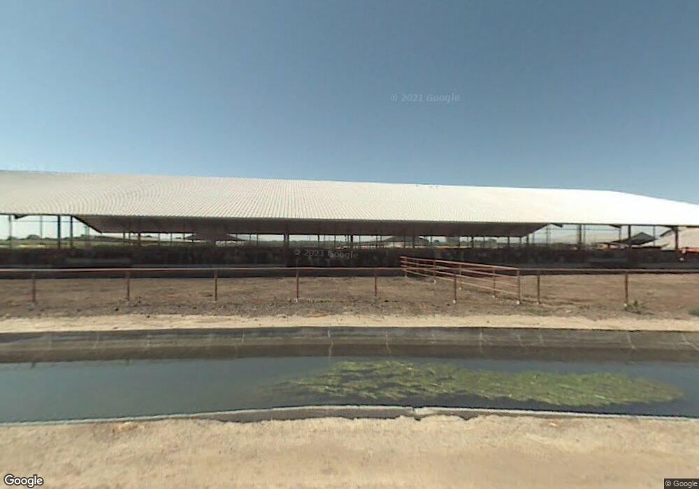
566 W Kaiser Rd Modesto, CA 95358
Estimated Value: $1,184,000 - $1,602,624
5
Beds
1
Bath
2,371
Sq Ft
$603/Sq Ft
Est. Value
About This Home
This home is located at 566 W Kaiser Rd, Modesto, CA 95358 and is currently estimated at $1,430,875, approximately $603 per square foot. 566 W Kaiser Rd is a home located in Stanislaus County with nearby schools including Westport Elementary School, Blaker-Kinser Junior High School, and Central Valley High School.
Ownership History
Date
Name
Owned For
Owner Type
Purchase Details
Closed on
Feb 16, 2023
Sold by
2017 Betschart Revocable Living Trust
Bought by
Betschart Theodore J
Current Estimated Value
Home Financials for this Owner
Home Financials are based on the most recent Mortgage that was taken out on this home.
Original Mortgage
$1,375,000
Outstanding Balance
$1,330,437
Interest Rate
6.15%
Mortgage Type
New Conventional
Estimated Equity
$100,438
Purchase Details
Closed on
Mar 30, 2017
Sold by
Betschart Tony Arnold
Bought by
Betschart Anthony A and Betschart Linda C
Purchase Details
Closed on
Jan 18, 2017
Sold by
Betschart Heidi Marie
Bought by
Betschart Tony Arnold and Betschart Theodore Frank
Purchase Details
Closed on
Feb 3, 2011
Sold by
Betschart Eda Mae
Bought by
Betschart Eda Mae
Create a Home Valuation Report for This Property
The Home Valuation Report is an in-depth analysis detailing your home's value as well as a comparison with similar homes in the area
Purchase History
| Date | Buyer | Sale Price | Title Company |
|---|---|---|---|
| Betschart Theodore J | $1,375,000 | First American Title | |
| Betschart Anthony A | -- | None Available | |
| Betschart Tony Arnold | -- | None Available | |
| Betschart Eda Mae | -- | None Available |
Source: Public Records
Mortgage History
| Date | Status | Borrower | Loan Amount |
|---|---|---|---|
| Open | Betschart Theodore J | $1,375,000 |
Source: Public Records
Tax History
| Year | Tax Paid | Tax Assessment Tax Assessment Total Assessment is a certain percentage of the fair market value that is determined by local assessors to be the total taxable value of land and additions on the property. | Land | Improvement |
|---|---|---|---|---|
| 2025 | $20,192 | $1,671,551 | $785,381 | $886,170 |
| 2024 | $13,263 | $1,130,881 | $526,795 | $604,086 |
| 2023 | $16,347 | $1,419,912 | $875,386 | $544,526 |
| 2022 | $16,569 | $1,425,761 | $624,773 | $800,988 |
| 2021 | $20,983 | $1,363,913 | $567,716 | $796,197 |
| 2020 | $16,598 | $1,443,502 | $711,099 | $732,403 |
| 2019 | $17,801 | $1,531,242 | $681,920 | $849,322 |
| 2018 | $14,788 | $1,264,707 | $515,145 | $749,562 |
| 2017 | $14,273 | $1,204,351 | $493,765 | $710,586 |
| 2016 | $11,674 | $1,025,220 | $490,674 | $534,546 |
| 2015 | $9,714 | $850,843 | $445,793 | $405,050 |
| 2014 | $7,087 | $619,161 | $392,671 | $226,490 |
Source: Public Records
Map
Nearby Homes
- 5413 Crows Landing Rd
- 5237 Crows Landing Rd
- 1237 W Keyes Rd
- 1269 Marchy Ln
- 1299 Marchy Ln
- 1279 Montclaire Dr
- 1255 Montclaire Dr
- 4460 S Carpenter Rd
- 4449 S Carpenter Rd Unit B12
- 3651 San Juan Rd
- 3671 San Juan Rd
- 3360 Hollowell Dr
- 3816 Teek Ct
- 1429 Don Pedro Rd
- 3449 Guru Dr
- 2030 E Grayson Rd Unit 42
- 2030 E Grayson Rd Unit 41
- 3096 Castle Rock Ct
- 3501 Soda Canyon Dr
- 3505 Havenwood Way
- 705 W Kaiser Rd
- 401 W Kaiser Rd
- 801 W Kaiser Rd
- 5533 Crows Landing Rd
- 7831 Crows Landing Rd
- 5565 Crows Landing Rd
- 5412 Crows Landing Rd
- 5354 Crows Landing Rd
- 5336 Crows Landing Rd
- 619 W Keyes Rd
- 5354 Crows Landing Rd
- 5300 Crows Landing Rd
- 5260 Crows Landing Rd
- 5343 A
- 5307 A
- 5230 Crows Landing Rd
- 125 Cowan St
- 5737 Crows Landing Rd
- 367 W Keyes Rd
- 5107 Crows Landing Rd
