5662 Burns Ln Hubbard, OH 44425
Estimated Value: $241,342 - $288,000
3
Beds
2
Baths
1,680
Sq Ft
$158/Sq Ft
Est. Value
About This Home
This home is located at 5662 Burns Ln, Hubbard, OH 44425 and is currently estimated at $265,836, approximately $158 per square foot. 5662 Burns Ln is a home located in Trumbull County with nearby schools including Hubbard Elementary School, Hubbard Middle School, and Hubbard High School.
Ownership History
Date
Name
Owned For
Owner Type
Purchase Details
Closed on
Apr 29, 2004
Sold by
Sonnenlitter William E and Sonnenlitter Dolores A
Bought by
Walsh Shawn D
Current Estimated Value
Home Financials for this Owner
Home Financials are based on the most recent Mortgage that was taken out on this home.
Original Mortgage
$111,600
Outstanding Balance
$52,177
Interest Rate
5.46%
Mortgage Type
New Conventional
Estimated Equity
$213,659
Purchase Details
Closed on
Jan 1, 1990
Bought by
William E Sonnenlitter
Create a Home Valuation Report for This Property
The Home Valuation Report is an in-depth analysis detailing your home's value as well as a comparison with similar homes in the area
Home Values in the Area
Average Home Value in this Area
Purchase History
| Date | Buyer | Sale Price | Title Company |
|---|---|---|---|
| Walsh Shawn D | $139,500 | -- | |
| William E Sonnenlitter | -- | -- |
Source: Public Records
Mortgage History
| Date | Status | Borrower | Loan Amount |
|---|---|---|---|
| Open | Walsh Shawn D | $111,600 |
Source: Public Records
Tax History Compared to Growth
Tax History
| Year | Tax Paid | Tax Assessment Tax Assessment Total Assessment is a certain percentage of the fair market value that is determined by local assessors to be the total taxable value of land and additions on the property. | Land | Improvement |
|---|---|---|---|---|
| 2024 | $3,283 | $57,930 | $6,060 | $51,870 |
| 2023 | $3,283 | $57,930 | $6,060 | $51,870 |
| 2022 | $2,989 | $47,010 | $5,530 | $41,480 |
| 2021 | $2,847 | $44,590 | $5,530 | $39,060 |
| 2020 | $2,858 | $44,590 | $5,530 | $39,060 |
| 2019 | $2,718 | $40,180 | $5,110 | $35,070 |
| 2018 | $2,637 | $40,180 | $5,110 | $35,070 |
| 2017 | $2,630 | $40,180 | $5,110 | $35,070 |
| 2016 | $2,492 | $39,940 | $5,110 | $34,830 |
| 2015 | $2,500 | $39,940 | $5,110 | $34,830 |
| 2014 | $2,452 | $39,940 | $5,110 | $34,830 |
| 2013 | $2,448 | $39,940 | $5,110 | $34,830 |
Source: Public Records
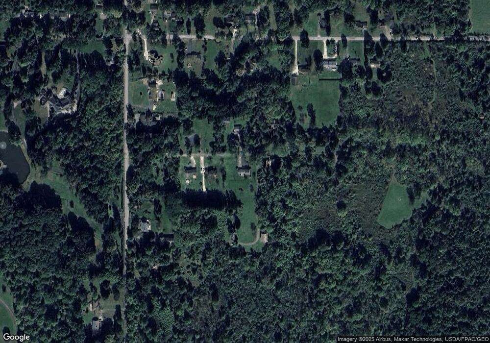
Map
Nearby Homes
- 1441 Warner Rd
- 1472 Warner Rd
- 5683 Chestnut Ridge Rd
- 5910 Chestnut Ridge Rd
- 1975 Warner Rd
- 256 Warner Rd
- 0 Smith Stewart Rd Unit 5120727
- 0 Appaloosa Trail
- 5950 Mount Everett Rd
- 4735 Smith Stewart Rd
- 550 Warner Rd
- 5602 Greenbrier Dr
- 2675 Seifert-Lewis Rd
- 4810 Logan Way
- 60 Warner Rd
- 6855 Stewart Sharon Rd
- 6130 Warren Sharon Rd
- 212 Potters Cir
- 5594 Engleton Ln
- 6220 Warren Sharon Rd
- 9999 Burns Ln
- 5642 Burns Ln
- 5632 Burns Ln
- 0 Burns Ln Unit 1399844
- 0 Burns Ln Unit 4502402
- 0 Burns Ln
- 5687 Everett East Rd
- 5687 Everett Rd E
- 5667 Burns Ln
- 1615 Warner Rd
- 1559 Warner Rd
- 1581 Warner Rd
- 5670 Everett East Rd
- 1535 Warner Rd
- 5676 Everett East Rd
- 1635 Warner Rd
- 5706 Everett East Rd
- 5654 Everett East Rd
- 861 Warner Rd SE
- 5720 Everett East Rd