Estimated Value: $384,000 - $423,000
--
Bed
1
Bath
1,372
Sq Ft
$296/Sq Ft
Est. Value
About This Home
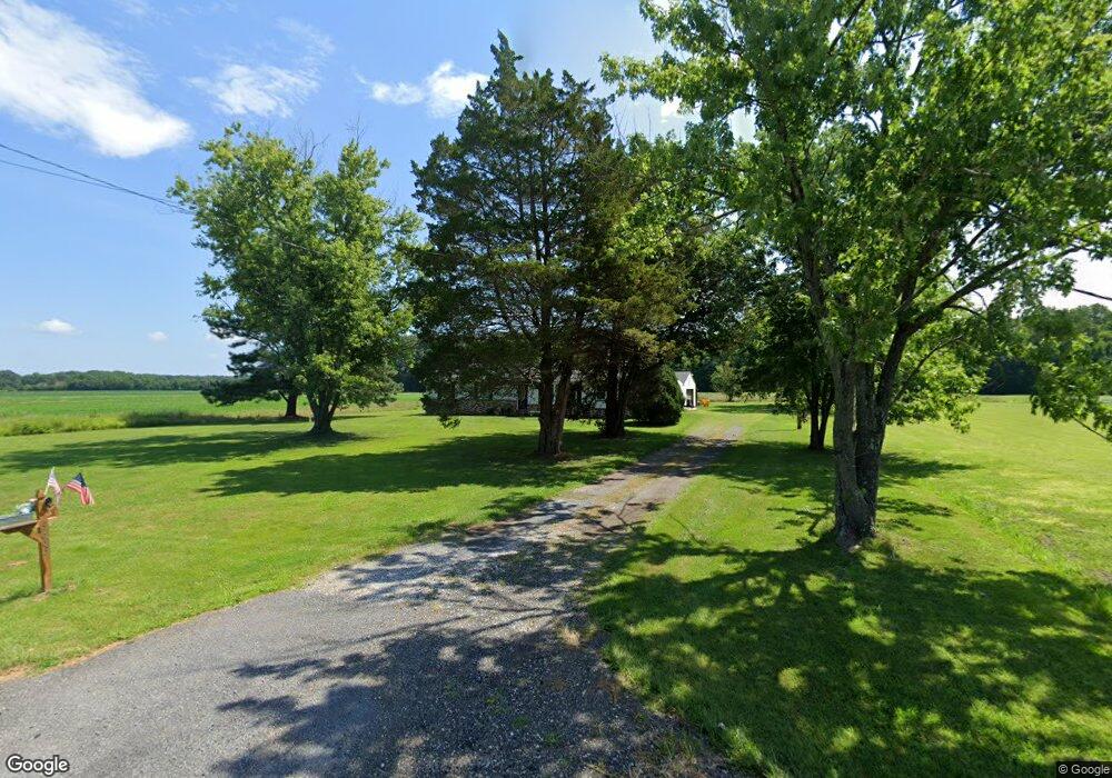
This home is located at 5663 Swamp Circle Rd, Deale, MD 20751 and is currently estimated at $405,769, approximately $295 per square foot. 5663 Swamp Circle Rd is a home located in Anne Arundel County with nearby schools including Deale Elementary School, Southern Middle School, and Southern High School.
Ownership History
Date
Name
Owned For
Owner Type
Purchase Details
Closed on
Jun 30, 2021
Sold by
Burtis David C and Estate Of Ella Mae Burtis
Bought by
Lowe Jonathan and Poit Denise
Current Estimated Value
Home Financials for this Owner
Home Financials are based on the most recent Mortgage that was taken out on this home.
Original Mortgage
$260,000
Outstanding Balance
$235,910
Interest Rate
2.9%
Mortgage Type
New Conventional
Estimated Equity
$169,859
Create a Home Valuation Report for This Property
The Home Valuation Report is an in-depth analysis detailing your home's value as well as a comparison with similar homes in the area
Home Values in the Area
Average Home Value in this Area
Purchase History
| Date | Buyer | Sale Price | Title Company |
|---|---|---|---|
| Lowe Jonathan | $325,000 | Absolute Title Group Inc |
Source: Public Records
Mortgage History
| Date | Status | Borrower | Loan Amount |
|---|---|---|---|
| Open | Lowe Jonathan | $260,000 |
Source: Public Records
Tax History Compared to Growth
Tax History
| Year | Tax Paid | Tax Assessment Tax Assessment Total Assessment is a certain percentage of the fair market value that is determined by local assessors to be the total taxable value of land and additions on the property. | Land | Improvement |
|---|---|---|---|---|
| 2025 | $4,408 | $357,533 | -- | -- |
| 2024 | $4,408 | $342,167 | $0 | $0 |
| 2023 | $4,196 | $326,800 | $185,800 | $141,000 |
| 2022 | $3,926 | $320,233 | $0 | $0 |
| 2021 | $1,465 | $313,667 | $0 | $0 |
| 2020 | $2,758 | $307,100 | $185,800 | $121,300 |
| 2019 | $5,422 | $295,867 | $0 | $0 |
| 2018 | $2,886 | $284,633 | $0 | $0 |
| 2017 | $2,529 | $273,400 | $0 | $0 |
| 2016 | -- | $268,867 | $0 | $0 |
| 2015 | -- | $264,333 | $0 | $0 |
| 2014 | -- | $259,800 | $0 | $0 |
Source: Public Records
Map
Nearby Homes
- 5741 Deale Churchton Rd
- 645 Gull Dr
- 350 E Bay Front Rd
- 5629 Gunner Run Rd
- 5277 Cedar St
- 5534 Nutwell Sudley Rd
- 5918 Sneed Dr
- 5930 Sneed Dr
- 619 Park Place
- 5611 Battee Dr
- 5645 Battee Dr
- 6037 Drum Point Rd
- 962 Main St
- 964 Main St
- 6061 Drum Point Rd
- 5700 N Shore Pkwy
- 968 Main St
- 703 Trapper Way
- 5771 Shady Side Rd
- 617 Ford Rd
- 5677 Swamp Circle Rd
- 5681 Swamp Circle Rd
- 5614 Swamp Circle Rd
- 5664 Swamp Circle Rd
- 5671 Swamp Circle Rd
- 5676 Swamp Circle Rd
- 5598 Swamp Circle Rd
- 5546 Swamp Circle Rd
- 5656 Swamp Circle Rd
- 5700 Swamp Circle Rd
- 5695 Swamp Circle Rd
- 5662 Swamp Circle Rd
- 5679 Swamp Circle Rd
- 5615 Swamp Circle Rd
- 5712 Swamp Circle Rd
- 5711 Swamp Circle Rd
- 5720 Swamp Circle Rd
- 5723 Swamp Circle Rd
- 5730 Swamp Circle Rd
- 5724 Swamp Circle Rd