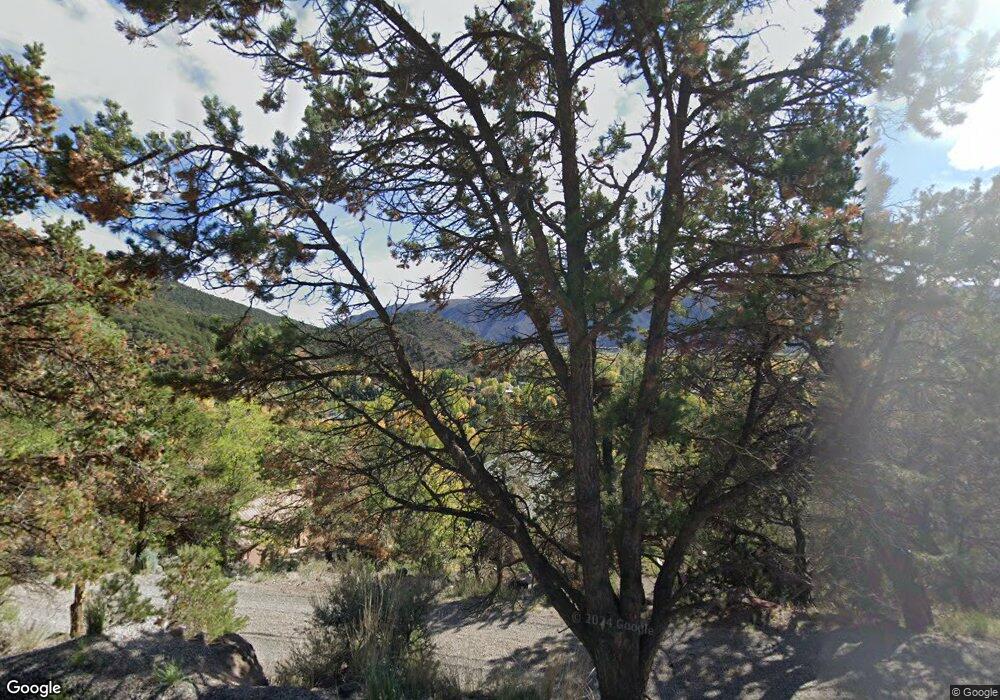
567 Cedar Dr Basalt, CO 81621
Estimated Value: $1,550,000 - $1,682,000
3
Beds
3
Baths
1,710
Sq Ft
$936/Sq Ft
Est. Value
About This Home
This home is located at 567 Cedar Dr, Basalt, CO 81621 and is currently estimated at $1,601,277, approximately $936 per square foot. 567 Cedar Dr is a home.
Ownership History
Date
Name
Owned For
Owner Type
Purchase Details
Closed on
Oct 31, 2024
Sold by
Wright Geraldine I
Bought by
Wright Geraldine I
Current Estimated Value
Purchase Details
Closed on
Nov 16, 2018
Sold by
Brown Roger J
Bought by
Brown Roger J and Wright Geraldine I
Purchase Details
Closed on
Nov 19, 1977
Purchase Details
Closed on
Apr 27, 1977
Sold by
Haerdle Otto J
Bought by
Gibson William F and Gibson Pam A
Purchase Details
Closed on
May 17, 1972
Create a Home Valuation Report for This Property
The Home Valuation Report is an in-depth analysis detailing your home's value as well as a comparison with similar homes in the area
Home Values in the Area
Average Home Value in this Area
Purchase History
| Date | Buyer | Sale Price | Title Company |
|---|---|---|---|
| Wright Geraldine I | -- | None Listed On Document | |
| Brown Roger J | -- | None Available | |
| -- | $20,000 | -- | |
| Gibson William F | $13,500 | -- | |
| -- | $4,900 | -- |
Source: Public Records
Mortgage History
| Date | Status | Borrower | Loan Amount |
|---|---|---|---|
| Previous Owner | Brown Roger | $954,225 |
Source: Public Records
Tax History Compared to Growth
Tax History
| Year | Tax Paid | Tax Assessment Tax Assessment Total Assessment is a certain percentage of the fair market value that is determined by local assessors to be the total taxable value of land and additions on the property. | Land | Improvement |
|---|---|---|---|---|
| 2024 | $6,406 | $76,710 | $44,750 | $31,960 |
| 2023 | $6,406 | $76,710 | $44,750 | $31,960 |
| 2022 | $4,207 | $52,800 | $22,940 | $29,860 |
| 2021 | $4,393 | $54,320 | $23,600 | $30,720 |
| 2020 | $3,904 | $50,620 | $20,740 | $29,880 |
| 2019 | $3,950 | $50,620 | $20,740 | $29,880 |
| 2018 | $3,616 | $46,430 | $19,080 | $27,350 |
| 2017 | $3,458 | $46,430 | $19,080 | $27,350 |
| 2016 | $3,890 | $43,470 | $20,300 | $23,170 |
| 2015 | -- | $43,470 | $20,300 | $23,170 |
| 2014 | $2,777 | $32,960 | $19,100 | $13,860 |
Source: Public Records
Map
Nearby Homes
- 679 Pinon Dr
- 805 Pinon Dr Unit 4
- 217 Longhorn Ln
- 175 Midland Ave Unit 10
- 175 Midland Ave Unit 4
- 165 Midland Ave
- 140 Basalt Center Cir Unit 202
- 140 Basalt Center Cir Unit 312
- 140 Basalt Center Cir Unit 215
- 140 Basalt Center Cir Unit 216
- 140 Basalt Center Cir Unit 231
- 140 Basalt Center Cir Unit 217
- 140 Basalt Center Cir Unit 209
- 140 Basalt Center Cir Unit 211
- 140 Basalt Center Cir Unit 317
- 140 Basalt Center Cir Unit 227
- 140 Basalt Center Cir Unit 220
- 140 Basalt Center Cir Unit 218
- 140 Basalt Center Cir Unit 213
- 140 Basalt Center Cir Unit 204
