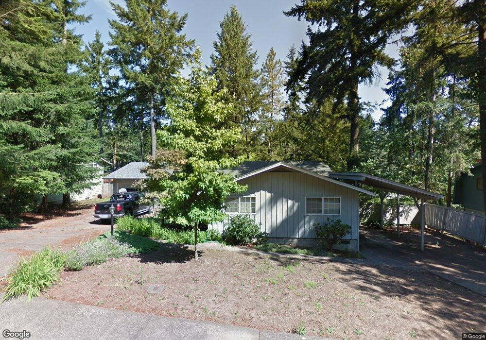
567 Empress Ave Eugene, OR 97405
Southeast Eugene NeighborhoodEstimated Value: $497,000 - $568,000
About This Home
This home is located at 567 Empress Ave, Eugene, OR 97405 and is currently estimated at $520,804, approximately $355 per square foot. 567 Empress Ave is a home located in Lane County with nearby schools including Edgewood Community Elementary School, Spencer Butte Middle School, and South Eugene High School.
Ownership History
We collect this data history from publicly available records. To have your information removed, we recommend requesting removal directly through your county’s website.
Purchase Details
Home Financials for this Owner
Home Financials are based on the most recent Mortgage that was taken out on this home.Purchase Details
Home Financials for this Owner
Home Financials are based on the most recent Mortgage that was taken out on this home.Home Values in the Area
Average Home Value in this Area
Purchase History
We collect this data history from publicly available records. To have your information removed, we recommend requesting removal directly through your county’s website.
| Date | Buyer | Sale Price | Title Company |
|---|---|---|---|
| $245,000 | Cascade Title Company | ||
| $169,000 | Cascade Title Co |
Mortgage History
We collect this data history from publicly available records. To have your information removed, we recommend requesting removal directly through your county’s website.
| Date | Status | Borrower | Loan Amount |
|---|---|---|---|
| Open | $232,750 | ||
| Previous Owner | $160,550 |
Tax History
We collect this data history from publicly available records. To have your information removed, we recommend requesting removal directly through your county’s website.
| Year | Tax Paid | Tax Assessment Tax Assessment Total Assessment is a certain percentage of the fair market value that is determined by local assessors to be the total taxable value of land and additions on the property. | Land | Improvement |
|---|---|---|---|---|
| 2025 | $5,501 | $282,347 | -- | -- |
| 2024 | $5,433 | $274,124 | -- | -- |
| 2023 | $5,433 | $266,140 | $0 | $0 |
| 2022 | $5,090 | $258,389 | $0 | $0 |
| 2021 | $4,780 | $250,864 | $0 | $0 |
| 2020 | $4,797 | $243,558 | $0 | $0 |
| 2019 | $4,633 | $236,465 | $0 | $0 |
| 2018 | $4,353 | $222,891 | $0 | $0 |
| 2017 | $4,117 | $222,891 | $0 | $0 |
| 2016 | $3,945 | $216,399 | $0 | $0 |
| 2015 | $3,832 | $210,096 | $0 | $0 |
| 2014 | $3,773 | $203,977 | $0 | $0 |
Map
- 4734 Brookwood St
- 190 Coachman Dr
- 310 E 48th Ave
- 71 Marlboro Ln
- 296 Woodridge Dr
- 4525 Fox Hollow Rd
- 246 Woodridge Dr
- 4630 W Hillside Dr
- 252 Foxtail Dr
- 67 Westbrook Way
- 4355 Pearl St
- 151 Rockridge Loop
- 20 Brae Burn Dr
- 143 Treehill Loop Unit 143
- 4429 Fox Hollow Rd Unit 3
- 4733 E Amazon Dr
- 101 Westbrook Way
- 151 Treehill Loop Unit 151
- 149 Treehill Loop Unit 149
- 278 Rockridge Ct
- 536 Empress Ave
- 530 Empress Ave
- 5220 Miramar St
- 5199 Imperial St
- 5210 Miramar St
- 535 Empress Ave
- 570 Empress Ave
- 0 Miramar St Unit 8 9062174
- 0 Miramar St Unit 2 9062168
- 0 Miramar St Unit 1 9062166
- 0 Miramar St Unit 1 11302174
- 0 Miramar St Unit 2 11251108
- 0 Miramar St Unit LOT 2 11479596
- 0 Miramar St Unit LOT 1 11043765
- 0 Miramar St Unit 2 13537000
- 0 Miramar St Unit 1
- 5190 Miramar St
- 5198 Imperial St
- 5215 Miramar St
- 0 Imperial St
Ask me questions while you tour the home.