5671 Private Road 2012 West Plains, MO 65775
Estimated Value: $70,539 - $231,000
--
Bed
--
Bath
--
Sq Ft
6
Acres
About This Home
This home is located at 5671 Private Road 2012, West Plains, MO 65775 and is currently estimated at $134,513. 5671 Private Road 2012 is a home with nearby schools including West Plains Senior High School.
Ownership History
Date
Name
Owned For
Owner Type
Purchase Details
Closed on
May 22, 2018
Sold by
Beard Lyndell N and Beard Desireer R
Bought by
Grantee Duncan Agriculture Llc
Current Estimated Value
Purchase Details
Closed on
Aug 25, 2015
Sold by
Oaks Tommy and Oaks Rachel
Bought by
Beard Lyndell N
Purchase Details
Closed on
Aug 25, 2014
Sold by
Oaks Tommy
Bought by
Cochran Michael L and Cochran Alissa R
Purchase Details
Closed on
Apr 10, 2007
Sold by
Mullins Laura A
Bought by
Oaks Tommy
Purchase Details
Closed on
Apr 6, 2007
Sold by
Boatright Dale and Boatright Jane
Bought by
Oaks Tommy
Create a Home Valuation Report for This Property
The Home Valuation Report is an in-depth analysis detailing your home's value as well as a comparison with similar homes in the area
Home Values in the Area
Average Home Value in this Area
Purchase History
| Date | Buyer | Sale Price | Title Company |
|---|---|---|---|
| Grantee Duncan Agriculture Llc | -- | None Available | |
| Beard Lyndell N | -- | None Available | |
| Cochran Michael L | $3,000 | None Available | |
| Oaks Tommy | -- | Btc | |
| Oaks Tommy | -- | None Available |
Source: Public Records
Tax History Compared to Growth
Tax History
| Year | Tax Paid | Tax Assessment Tax Assessment Total Assessment is a certain percentage of the fair market value that is determined by local assessors to be the total taxable value of land and additions on the property. | Land | Improvement |
|---|---|---|---|---|
| 2025 | $243 | $6,210 | $3,420 | $2,790 |
| 2024 | $242 | $5,540 | -- | -- |
| 2023 | $242 | $5,540 | $0 | $0 |
| 2022 | $241 | $5,540 | $0 | $0 |
| 2021 | $247 | $5,540 | $0 | $0 |
| 2020 | $247 | $5,540 | $0 | $0 |
| 2019 | $257 | $5,540 | $0 | $0 |
| 2018 | $231 | $4,970 | $0 | $0 |
| 2017 | $230 | $4,970 | $0 | $0 |
| 2015 | -- | $4,970 | $0 | $0 |
| 2014 | -- | $4,970 | $0 | $0 |
| 2013 | -- | $4,970 | $0 | $0 |
Source: Public Records
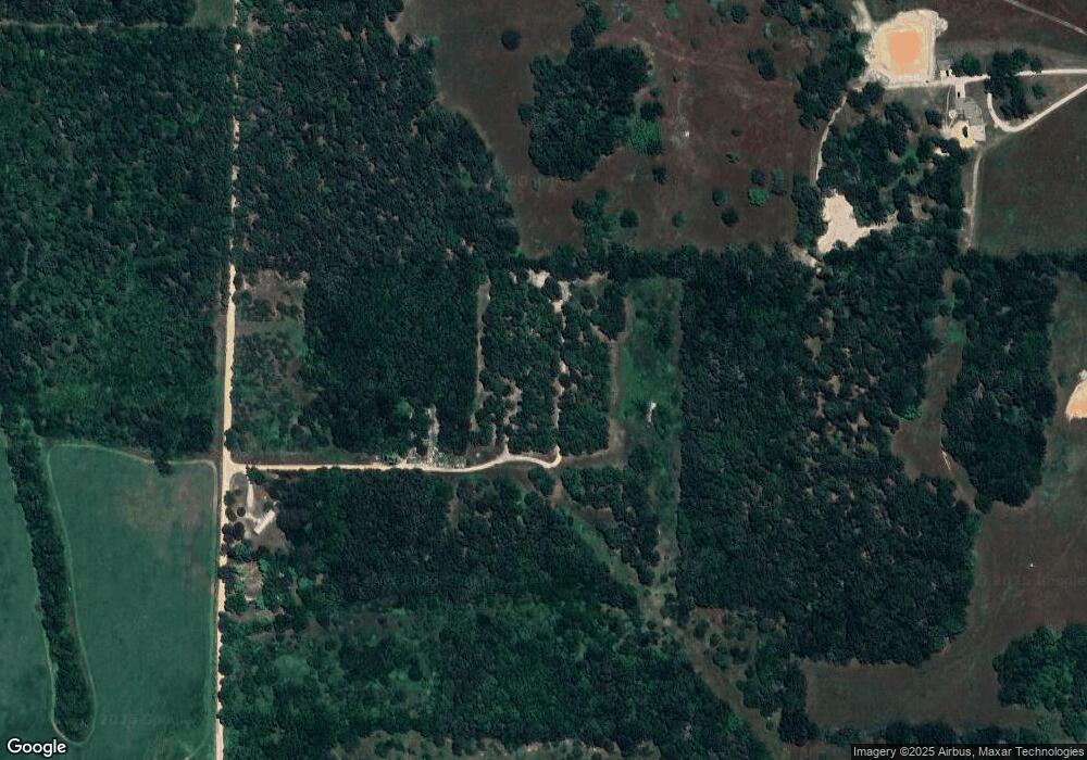
Map
Nearby Homes
- 7230 Private Road 1830
- 5538 Private Road 1260
- 5562 Private Road 2023
- 5578 Private Road 1200
- 5554 Private Road 1200
- 0000 County Road 1360
- 000 County Road 2010
- 7584 Private Road 2453
- 0 State Highway Bb
- 3440 N Us Highway 63
- 334 Private Road 2018
- 900 County Road 1280
- 900 Cr 1280
- 000 Private Road 2014
- 3002 Ginger Dr
- 000 Lot 2 Block 13 Morrison Sub
- 2821 Christie Dr
- 2818 Christie Dr
- 2823 Laurie Ave
- 000 Lot 4 Block 13 Morrison Sub
- 5672 Private Road 2012
- 5645 Private Road 2012
- 6947 State Route Bb
- 7166 County Road 2010
- 5676 County Road 1540
- 6894 County Road 2010
- 5704 County Road 1540
- 0 County Road 2010 Unit 21055747
- 0 County Road 2010 Unit 40020501
- 0 County Road 2010
- 5776 County Road 1540
- 5678 County Road 1540
- 5660 County Road 1540
- 5644 County Road 1540
- 5774 County Road 1540
- 7265 County Road 2010
- 5614 County Road 1540
- 5590 County Road 1380
- 6883 State Route Bb
- 7200 County Road 2010