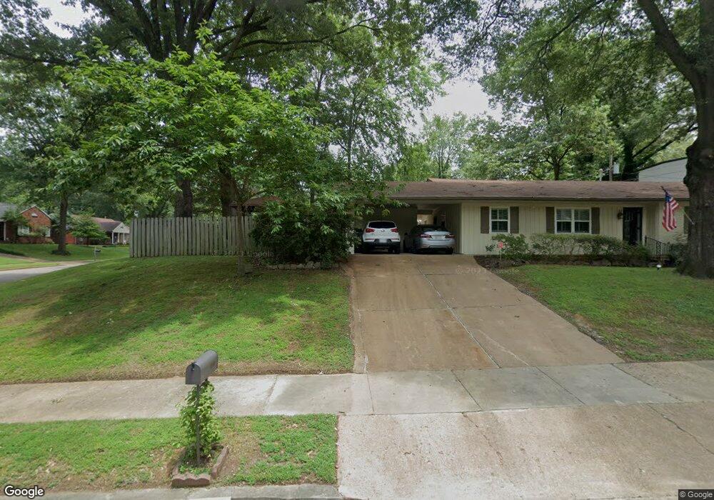
5673 Normandy Place Memphis, TN 38120
East Memphis NeighborhoodEstimated Value: $290,000 - $330,000
3
Beds
2
Baths
1,753
Sq Ft
$179/Sq Ft
Est. Value
About This Home
This home is located at 5673 Normandy Place, Memphis, TN 38120 and is currently estimated at $313,118, approximately $178 per square foot. 5673 Normandy Place is a home located in Shelby County with nearby schools including Richland Elementary School, White Station Middle, and White Station High.
Ownership History
Date
Name
Owned For
Owner Type
Purchase Details
Closed on
Apr 1, 2024
Sold by
Mcniell Harold Thomas and Mcniell Myriam Beatriz
Bought by
Mcclafferty Gabriel and Mcclafferty Airika
Current Estimated Value
Home Financials for this Owner
Home Financials are based on the most recent Mortgage that was taken out on this home.
Original Mortgage
$272,000
Outstanding Balance
$267,449
Interest Rate
6.9%
Mortgage Type
New Conventional
Estimated Equity
$45,669
Purchase Details
Closed on
Aug 6, 2001
Sold by
Lacy Lou A and Mcniell Lou Anne
Bought by
Mcniell Harold T
Create a Home Valuation Report for This Property
The Home Valuation Report is an in-depth analysis detailing your home's value as well as a comparison with similar homes in the area
Home Values in the Area
Average Home Value in this Area
Purchase History
We collect this data history from publicly available records. To have your information removed, we recommend requesting removal directly through your county’s website.
| Date | Buyer | Sale Price | Title Company |
|---|---|---|---|
| Mcclafferty Gabriel | $320,000 | None Listed On Document | |
| Mcniell Harold T | -- | -- | |
| Mcniell Harold T | -- | -- |
Source: Public Records
Mortgage History
We collect this data history from publicly available records. To have your information removed, we recommend requesting removal directly through your county’s website.
| Date | Status | Borrower | Loan Amount |
|---|---|---|---|
| Open | Mcclafferty Gabriel | $272,000 |
Source: Public Records
Tax History
| Year | Tax Paid | Tax Assessment Tax Assessment Total Assessment is a certain percentage of the fair market value that is determined by local assessors to be the total taxable value of land and additions on the property. | Land | Improvement |
|---|---|---|---|---|
| 2025 | $2,181 | $73,325 | $19,125 | $54,200 |
| 2024 | $2,181 | $64,350 | $19,125 | $45,225 |
| 2023 | $3,920 | $64,350 | $19,125 | $45,225 |
| 2022 | $3,920 | $64,350 | $19,125 | $45,225 |
| 2021 | $3,966 | $64,350 | $19,125 | $45,225 |
| 2020 | $3,574 | $49,325 | $15,900 | $33,425 |
| 2019 | $3,574 | $49,325 | $15,900 | $33,425 |
| 2018 | $3,574 | $49,325 | $15,900 | $33,425 |
| 2017 | $2,027 | $49,325 | $15,900 | $33,425 |
| 2016 | $1,850 | $42,325 | $0 | $0 |
| 2014 | $1,850 | $42,325 | $0 | $0 |
Source: Public Records
Map
Nearby Homes
- 5710 Woodbriar Cove
- 5676 Barfield Rd
- 5690 N Angela Rd
- 5737 Buxbriar Ave
- 5504 Normandy Rd
- 5722 Shady Glen Rd
- 5585 Milford Rd
- 5704 Ashbriar Ave
- 5734 Dunwoody Ave
- 5429 Walnut Grove Rd
- 5501 S Angela Rd
- 5557 Mason Rd
- 5572 Mason Rd
- 5385 Walnut Grove Rd
- 5360 Normandy Ave
- 233 Lynnfield St
- 5330 Walnut Grove Rd
- 5347 Denwood Ave
- 5524 Fountain Bay Dr
- 321 Shady Woods Cove
- 5673 Normandy Rd
- 5681 Normandy Ave
- 5663 Normandy Place
- 5668 Walnut Grove Place
- 5666 Normandy Rd
- 5666 Walnut Grove Place
- 5689 Normandy Ave
- 5689 Normandy Rd
- 5674 Normandy Rd
- 5674 Normandy Ave
- 5682 Normandy Rd
- 5682 Normandy Ave
- 5670 Walnut Grove Place
- 5649 Normandy Ave
- 5699 Normandy Ave
- 5699 Normandy Rd
- 5658 Normandy Ave
- 5690 Normandy Ave
- 5659 Normandy Place
- 5650 Normandy Rd
Your Personal Tour Guide
Ask me questions while you tour the home.