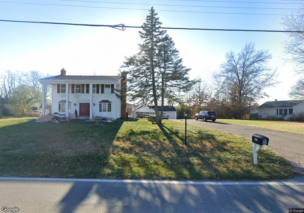
5679 W Fork Rd Cincinnati, OH 45247
Estimated Value: $202,000 - $326,000
Studio
--
Bath
--
Sq Ft
21,344
Sq Ft Lot
About This Home
This home is located at 5679 W Fork Rd, Cincinnati, OH 45247 and is currently estimated at $274,667. 5679 W Fork Rd is a home located in Hamilton County with nearby schools including Monfort Heights Elementary School, White Oak Middle School, and Colerain High School.
Ownership History
Date
Name
Owned For
Owner Type
Purchase Details
Closed on
Aug 18, 2017
Sold by
Craddock Caroline A and Kotlas Robert P
Bought by
Ransick Richard P
Current Estimated Value
Home Financials for this Owner
Home Financials are based on the most recent Mortgage that was taken out on this home.
Original Mortgage
$95,000
Outstanding Balance
$48,787
Interest Rate
4.03%
Mortgage Type
New Conventional
Estimated Equity
$225,880
Purchase Details
Closed on
Aug 20, 2004
Sold by
Stock Michael L and Stock Jennifer L
Bought by
Kotlas Robert P and Craddock Caroline A
Home Financials for this Owner
Home Financials are based on the most recent Mortgage that was taken out on this home.
Original Mortgage
$170,100
Interest Rate
6.08%
Mortgage Type
Fannie Mae Freddie Mac
Create a Home Valuation Report for This Property
The Home Valuation Report is an in-depth analysis detailing your home's value as well as a comparison with similar homes in the area
Home Values in the Area
Average Home Value in this Area
Purchase History
| Date | Buyer | Sale Price | Title Company |
|---|---|---|---|
| Ransick Richard P | $175,000 | Old Town Title Agency | |
| Kotlas Robert P | $189,000 | -- |
Source: Public Records
Mortgage History
| Date | Status | Borrower | Loan Amount |
|---|---|---|---|
| Open | Ransick Richard P | $95,000 | |
| Previous Owner | Kotlas Robert P | $170,100 |
Source: Public Records
Tax History
| Year | Tax Paid | Tax Assessment Tax Assessment Total Assessment is a certain percentage of the fair market value that is determined by local assessors to be the total taxable value of land and additions on the property. | Land | Improvement |
|---|---|---|---|---|
| 2025 | $274 | $4,932 | $4,932 | -- |
| 2023 | $271 | $4,932 | $4,932 | $0 |
| 2022 | $302 | $4,802 | $4,802 | $0 |
| 2021 | $298 | $4,802 | $4,802 | $0 |
| 2020 | $298 | $4,802 | $4,802 | $0 |
| 2019 | $295 | $4,288 | $4,288 | $0 |
| 2018 | $264 | $4,288 | $4,288 | $0 |
| 2017 | $253 | $4,288 | $4,288 | $0 |
| 2016 | $257 | $4,246 | $4,246 | $0 |
| 2015 | $256 | $4,246 | $4,246 | $0 |
| 2014 | $257 | $4,246 | $4,246 | $0 |
| 2013 | $243 | $4,288 | $4,288 | $0 |
Source: Public Records
Map
Nearby Homes
- 5563 Haft Rd
- 5588 W Fork Rd
- 5876 Sutters Mill Dr
- 5804 Cedaridge Dr
- 5991 Gaines Rd
- 5339 Race Rd
- 6051 Shelrich Ct
- Site 1 Brierly Creek Rd
- 5182 Michael Anthony Ln
- 5547 Hubble Rd
- 4643 Whispering Oak Trail
- 5080 Jessup Rd
- 5525 Whispering Way
- 5221 Clearlake Dr
- 4491 W Fork Rd
- 4600 Farcrest Ct
- 4192 Timberpoint Dr
- 5442 Bluesky Dr
- 5104 Jonkard Ln
- 6670 Gaines Rd
- 5691 W Fork Rd
- 5671 W Fork Rd
- 5661 W Fork Rd
- 5697 W Fork Rd
- 5674 W Fork Rd
- 5707 W Fork Rd
- 5715 W Fork Rd
- 5664 W Fork Rd
- 5721 W Fork Rd
- 5641 W Fork Rd
- 5696 W Fork Rd
- 5633 W Fork Rd
- 5729 W Fork Rd
- 5636 W Fork Rd
- 5733 W Fork Rd
- 5625 W Fork Rd
- 5737 W Fork Rd
- 5730 Sutters Mill Dr
- 5748 Sutters Mill Dr
- 5648 Fox Ridge Ct
Your Personal Tour Guide
Ask me questions while you tour the home.