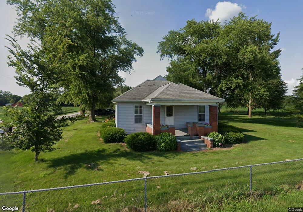
5680 W Cornbread Rd Yorktown, IN 47396
Estimated Value: $342,000 - $589,036
9
Beds
4
Baths
5,084
Sq Ft
$94/Sq Ft
Est. Value
About This Home
This home is located at 5680 W Cornbread Rd, Yorktown, IN 47396 and is currently estimated at $477,345, approximately $93 per square foot. 5680 W Cornbread Rd is a home located in Delaware County with nearby schools including Yorktown Elementary School, Pleasant View Elementary School, and Yorktown Middle School.
Ownership History
Date
Name
Owned For
Owner Type
Purchase Details
Closed on
Sep 10, 2009
Sold by
Ippel Bruce and Ippel Mary
Bought by
Ippel Bruce D and Ippel Mary E
Current Estimated Value
Purchase Details
Closed on
Sep 11, 2007
Sold by
Smoot Melvin W and Smoot Gwili
Bought by
Ippel Bruce D and Ippel Mary E
Home Financials for this Owner
Home Financials are based on the most recent Mortgage that was taken out on this home.
Original Mortgage
$284,900
Outstanding Balance
$177,501
Interest Rate
6.71%
Mortgage Type
Credit Line Revolving
Estimated Equity
$299,844
Create a Home Valuation Report for This Property
The Home Valuation Report is an in-depth analysis detailing your home's value as well as a comparison with similar homes in the area
Purchase History
| Date | Buyer | Sale Price | Title Company |
|---|---|---|---|
| Ippel Bruce D | -- | None Available | |
| Ippel Bruce D | -- | None Available |
Source: Public Records
Mortgage History
| Date | Status | Borrower | Loan Amount |
|---|---|---|---|
| Open | Ippel Bruce D | $284,900 |
Source: Public Records
Tax History
| Year | Tax Paid | Tax Assessment Tax Assessment Total Assessment is a certain percentage of the fair market value that is determined by local assessors to be the total taxable value of land and additions on the property. | Land | Improvement |
|---|---|---|---|---|
| 2025 | $4,564 | $405,000 | $122,600 | $282,400 |
| 2024 | $4,564 | $349,300 | $129,700 | $219,600 |
| 2023 | $4,101 | $332,400 | $112,800 | $219,600 |
| 2022 | $3,805 | $317,200 | $95,000 | $222,200 |
| 2021 | $3,596 | $283,600 | $85,700 | $197,900 |
| 2020 | $4,382 | $343,000 | $85,200 | $257,800 |
| 2019 | $4,233 | $336,500 | $97,700 | $238,800 |
| 2018 | $4,184 | $319,400 | $99,900 | $219,500 |
| 2017 | $3,991 | $329,100 | $108,900 | $220,200 |
| 2016 | $4,220 | $333,600 | $113,800 | $219,800 |
| 2014 | $4,093 | $320,700 | $117,800 | $202,900 |
| 2013 | -- | $297,700 | $104,900 | $192,800 |
Source: Public Records
Map
Nearby Homes
- 1613 S Italiano Dr
- 6225 W Penrod Rd
- 6218 W Penrod Rd
- 0 S Stoney Brook Dr Unit 202544017
- 5007 W Quail Ridge Dr
- 5009 W Quail Ridge Dr
- 5822 W Hellis Dr
- 5106 W Foxhill Ct
- 6000 W Hellis Dr
- 1600 S O'Hare Blvd
- 7105 W Saint Andrews Ave
- 7105 W Saint Andrews Ave
- 7816 W Frankie Ln
- 7909 W Kennedy Pkwy
- 501 S Riviera Ln
- 00 W Deerbrook Dr
- 209 N Copperwood Ct
- 4909 W Prairiewood Dr
- 4413 W Garver Dr
- 2520 S Andrews Rd
- 5670 W Cornbread Rd
- 1801 W 12th St
- 620 W 12th St
- 628 W 12th St
- 6100 W Cornbread Rd
- 1631 S Woodruff Dr
- 1627 S Woodruff Dr
- 1619 S Glendale Dr
- 1620 S Woodruff Dr
- 1628 S Kingston Dr
- 1631 S Kingston Dr
- 6061 W Cornbread Rd
- 1615 S Glendale Dr
- 1617 S Woodruff Dr
- 2201 S Proctor Rd
- 5990 W Memorial Dr
- 1623 S Kingston Dr
- 1609 S Woodruff Dr
- 1604 S Woodruff Dr
- 1618 S Stockport Dr
Your Personal Tour Guide
Ask me questions while you tour the home.