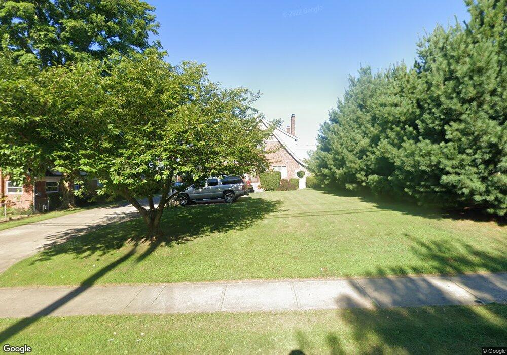
569 Anderson Ferry Rd Cincinnati, OH 45238
Central Delhi NeighborhoodEstimated Value: $273,947 - $314,000
3
Beds
2
Baths
1,692
Sq Ft
$170/Sq Ft
Est. Value
About This Home
This home is located at 569 Anderson Ferry Rd, Cincinnati, OH 45238 and is currently estimated at $286,987, approximately $169 per square foot. 569 Anderson Ferry Rd is a home located in Hamilton County with nearby schools including C.O. Harrison Elementary School, Delhi Middle School, and Oak Hills High School.
Ownership History
Date
Name
Owned For
Owner Type
Purchase Details
Closed on
Nov 15, 2006
Sold by
Lipps Michael K and Lipps Victoria M
Bought by
Taylor John and Taylor Helny
Current Estimated Value
Home Financials for this Owner
Home Financials are based on the most recent Mortgage that was taken out on this home.
Original Mortgage
$160,000
Outstanding Balance
$95,278
Interest Rate
6.33%
Mortgage Type
VA
Estimated Equity
$191,709
Purchase Details
Closed on
Dec 12, 2001
Sold by
Schultz Arthur T and Schultz Lynn A
Bought by
Lipps Michael K and Lipps Victoria M
Home Financials for this Owner
Home Financials are based on the most recent Mortgage that was taken out on this home.
Original Mortgage
$163,900
Interest Rate
7.16%
Purchase Details
Closed on
Apr 13, 1998
Sold by
Watters Sherry L
Bought by
Schultz Arthur T
Create a Home Valuation Report for This Property
The Home Valuation Report is an in-depth analysis detailing your home's value as well as a comparison with similar homes in the area
Home Values in the Area
Average Home Value in this Area
Purchase History
| Date | Buyer | Sale Price | Title Company |
|---|---|---|---|
| Taylor John | $160,000 | Attorney | |
| Lipps Michael K | $144,900 | Midwest Abstract Company | |
| Schultz Arthur T | -- | -- |
Source: Public Records
Mortgage History
| Date | Status | Borrower | Loan Amount |
|---|---|---|---|
| Open | Taylor John | $160,000 | |
| Closed | Lipps Michael K | $163,900 |
Source: Public Records
Tax History Compared to Growth
Tax History
| Year | Tax Paid | Tax Assessment Tax Assessment Total Assessment is a certain percentage of the fair market value that is determined by local assessors to be the total taxable value of land and additions on the property. | Land | Improvement |
|---|---|---|---|---|
| 2024 | $4,524 | $77,322 | $12,845 | $64,477 |
| 2023 | $4,526 | $77,322 | $12,845 | $64,477 |
| 2022 | $2,680 | $40,565 | $11,872 | $28,693 |
| 2021 | $2,630 | $40,565 | $11,872 | $28,693 |
| 2020 | $2,657 | $40,565 | $11,872 | $28,693 |
| 2019 | $2,552 | $34,969 | $10,234 | $24,735 |
| 2018 | $2,555 | $34,969 | $10,234 | $24,735 |
| 2017 | $2,314 | $34,969 | $10,234 | $24,735 |
| 2016 | $2,492 | $37,797 | $9,723 | $28,074 |
| 2015 | $2,491 | $37,797 | $9,723 | $28,074 |
| 2014 | $2,493 | $37,797 | $9,723 | $28,074 |
| 2013 | $2,470 | $39,785 | $10,234 | $29,551 |
Source: Public Records
Map
Nearby Homes
- 578 Picuda Ct
- 503 Happy Dr
- 5199 Foley Rd
- 464 Happy Dr
- 5232 Farm House Ln
- 461 Happy Dr
- 5153 Kincardine Dr
- 685 Ivyhill Dr
- 5140 Old Oak Trail
- 5140 Old Oak Trail Unit 34
- 5341 Carefree Ct
- 774 Ivyhill Dr
- 763 Gilcrest Ln
- 5010 Garden Grove Ln
- 5086 Garden Grove Ln
- 5176 Dundas Dr
- 5424 Delhi Rd
- 551 Greenwell Ave
- 575 Greenwell Ave
- 5229 Rapid Run Rd
- 5304 Plover Ln
- 573 Anderson Ferry Rd
- 144 Anderson Ferry Rd
- 5312 Plover Ln
- 5316 Plover Ln
- 4697 Plover Ln
- 5305 Plover Ln
- 5301 Plover Ln
- 5309 Plover Ln
- 562 Anderson Ferry Rd
- 5320 Plover Ln
- 5313 Plover Ln
- 560 Anderson Ferry Rd
- 585 Anderson Ferry Rd
- 5325 Gander Dr
- 570 Anderson Ferry Rd
- 5315 Gander Dr
- 5319 Gander Dr
- 5324 Plover Ln
- 553 Anderson Ferry Rd