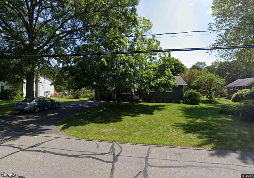
569 Country Club Rd Greenfield, MA 01301
Estimated Value: $314,000 - $377,000
3
Beds
1
Bath
1,482
Sq Ft
$228/Sq Ft
Est. Value
About This Home
This home is located at 569 Country Club Rd, Greenfield, MA 01301 and is currently estimated at $337,343, approximately $227 per square foot. 569 Country Club Rd is a home located in Franklin County with nearby schools including Cornerstone Christian School and Greenfield Center School.
Ownership History
Date
Name
Owned For
Owner Type
Purchase Details
Closed on
Oct 26, 2023
Sold by
Seredejko David M and Seredejko Janet E
Bought by
Sererdejko Int and Sererdejko S
Current Estimated Value
Purchase Details
Closed on
May 1, 1986
Bought by
Seredejko David M and Seredejko Janet E
Create a Home Valuation Report for This Property
The Home Valuation Report is an in-depth analysis detailing your home's value as well as a comparison with similar homes in the area
Home Values in the Area
Average Home Value in this Area
Purchase History
| Date | Buyer | Sale Price | Title Company |
|---|---|---|---|
| Sererdejko Int | -- | None Available | |
| Sererdejko Int | -- | None Available | |
| Seredejko David M | $82,000 | -- |
Source: Public Records
Mortgage History
| Date | Status | Borrower | Loan Amount |
|---|---|---|---|
| Previous Owner | Seredejko David M | $50,000 | |
| Previous Owner | Seredejko David M | $57,500 | |
| Previous Owner | Seredejko David M | $20,000 | |
| Previous Owner | Seredejko David M | $70,000 |
Source: Public Records
Tax History Compared to Growth
Tax History
| Year | Tax Paid | Tax Assessment Tax Assessment Total Assessment is a certain percentage of the fair market value that is determined by local assessors to be the total taxable value of land and additions on the property. | Land | Improvement |
|---|---|---|---|---|
| 2025 | $4,483 | $229,200 | $81,900 | $147,300 |
| 2024 | $4,486 | $220,000 | $69,800 | $150,200 |
| 2023 | $4,081 | $207,700 | $69,800 | $137,900 |
| 2022 | $4,299 | $192,600 | $69,900 | $122,700 |
| 2021 | $4,349 | $187,300 | $73,900 | $113,400 |
| 2020 | $4,100 | $178,800 | $73,900 | $104,900 |
| 2019 | $3,676 | $164,400 | $64,300 | $100,100 |
| 2018 | $3,665 | $163,400 | $63,100 | $100,300 |
| 2017 | $3,551 | $163,400 | $63,100 | $100,300 |
| 2016 | $3,524 | $161,600 | $63,100 | $98,500 |
| 2015 | $3,548 | $157,600 | $64,700 | $92,900 |
| 2014 | $3,246 | $158,100 | $64,700 | $93,400 |
Source: Public Records
Map
Nearby Homes
- 34 Brookside Ave
- 72 Meadowood Dr
- 31 Lovers Ln
- 83 Eden Trail Branch
- 696 Bernardston Rd
- 001 Adams Rd
- 79 Burnham Rd
- 4 Pickett Ln
- 0 Pickett Ln
- 27 Lunt Dr
- 336 Plain Rd
- 104 Leyden Rd
- 187 Plain Rd
- 218 Greenfield Rd
- 35-37 Shattuck St
- 35 Shattuck St Unit 37
- 335 Federal St
- 151 Smead Hill Rd
- 24 Cypress St
- 306 Davis St
- 563 Country Club Rd
- 575 Country Club Rd
- 574 Country Club Rd
- 579 Country Club Rd
- 559 Country Club Rd
- 566 Country Club Rd
- 553 Country Club Rd
- 0 Verde Dr
- 6 Verde Dr
- 80 Plantation Cir
- 16 Verde Dr
- 18 Verde Dr
- 20 Verde Dr
- 76 Plantation Cir
- 24 Verde Dr
- 12 Verde Dr
- 28 Verde Dr
- 30 Verde Dr
- 539 Country Club Rd
- 5 Verde Dr