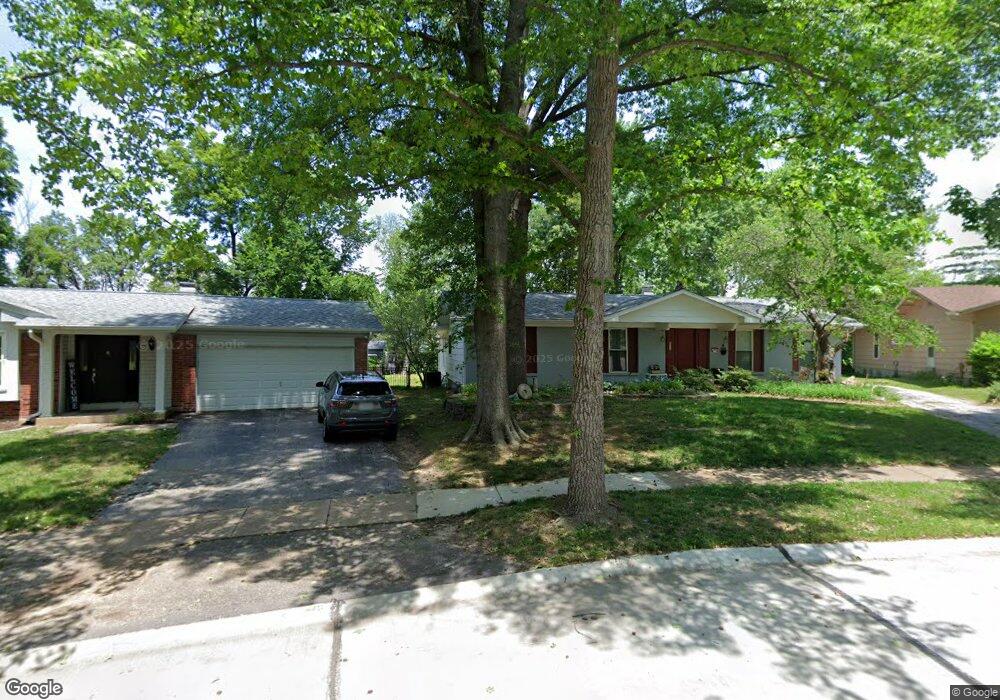
569 Larksmore Ct Ballwin, MO 63021
Estimated Value: $330,639 - $393,000
3
Beds
2
Baths
1,398
Sq Ft
$255/Sq Ft
Est. Value
About This Home
This home is located at 569 Larksmore Ct, Ballwin, MO 63021 and is currently estimated at $356,160, approximately $254 per square foot. 569 Larksmore Ct is a home located in St. Louis County with nearby schools including Wren Hollow Elementary School, Parkway Southwest Middle School, and Parkway South High School.
Ownership History
Date
Name
Owned For
Owner Type
Purchase Details
Closed on
Mar 30, 2001
Sold by
Curiel Henson Harry A and Curiel Martha
Bought by
Oliver Scott M and Oliver Carol L
Current Estimated Value
Home Financials for this Owner
Home Financials are based on the most recent Mortgage that was taken out on this home.
Original Mortgage
$160,455
Outstanding Balance
$75,908
Interest Rate
11.12%
Mortgage Type
Purchase Money Mortgage
Estimated Equity
$280,252
Create a Home Valuation Report for This Property
The Home Valuation Report is an in-depth analysis detailing your home's value as well as a comparison with similar homes in the area
Home Values in the Area
Average Home Value in this Area
Purchase History
| Date | Buyer | Sale Price | Title Company |
|---|---|---|---|
| Oliver Scott M | -- | -- | |
| Oliver Scott M | $168,900 | -- | |
| Oliver Scott M | -- | -- |
Source: Public Records
Mortgage History
| Date | Status | Borrower | Loan Amount |
|---|---|---|---|
| Open | Oliver Scott M | $160,455 | |
| Closed | Oliver Scott M | $160,455 |
Source: Public Records
Tax History
| Year | Tax Paid | Tax Assessment Tax Assessment Total Assessment is a certain percentage of the fair market value that is determined by local assessors to be the total taxable value of land and additions on the property. | Land | Improvement |
|---|---|---|---|---|
| 2025 | $3,807 | $64,230 | $28,790 | $35,440 |
| 2024 | $3,807 | $55,530 | $21,580 | $33,950 |
| 2023 | $3,840 | $55,530 | $21,580 | $33,950 |
| 2022 | $3,894 | $51,790 | $21,580 | $30,210 |
| 2021 | $3,872 | $51,790 | $21,580 | $30,210 |
| 2020 | $3,408 | $43,580 | $17,970 | $25,610 |
| 2019 | $3,348 | $43,580 | $17,970 | $25,610 |
| 2018 | $3,157 | $38,100 | $13,490 | $24,610 |
| 2017 | $3,025 | $38,100 | $13,490 | $24,610 |
| 2016 | $2,921 | $34,180 | $10,790 | $23,390 |
Source: Public Records
Map
Nearby Homes
- 798 Canary Dr
- 756 Alexander Mark Way
- 407 Tulsa Ave
- 417 Palermo Dr
- 604 Nandale Ln
- 836 Wheelwright Dr
- 805 Phaeton Dr
- The Nantucket Vista Plan at Sulphur Spring
- The Parkview II Vista Plan at Sulphur Spring
- The Nantucket II Vista Plan at Sulphur Spring
- The Westbrooke Vista Plan at Sulphur Spring
- 304 Wembley Ln
- 0 the Rainier@joyce Ann Dr
- 908 Hanna Rd
- 821 Courtland Place
- New Build Forest J at Joyce Ann Dr
- 284 Brightfield Dr
- 711 Lofty Point Dr Unit C
- 977 Cardello Dr Unit 348
- 702 Lofty Point Dr Unit C
- 563 Larksmore Ct
- 575 Larksmore Ct
- 811 Canary Dr
- 581 Larksmore Ct
- 557 Larksmore Ct
- 580 Larksmore Ct
- 600 Canary Estates Dr
- 508 Thrush Ave
- 587 Larksmore Ct
- 586 Larksmore Ct
- 606 Canary Estates Dr
- 574 Larksmore Ct
- 551 Larksmore Ct
- 512 Thrush Ave
- 568 Larksmore Ct
- 601 Canary Estates Dr
- 593 Larksmore Ct
- 612 Canary Estates Dr
- 592 Larksmore Ct
- 884 Sulphur Spring Rd
Your Personal Tour Guide
Ask me questions while you tour the home.