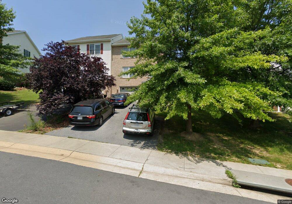
569 Pointe Dr Harrisonburg, VA 22801
Estimated Value: $319,000 - $367,507
3
Beds
3
Baths
1,996
Sq Ft
$167/Sq Ft
Est. Value
About This Home
This home is located at 569 Pointe Dr, Harrisonburg, VA 22801 and is currently estimated at $333,627, approximately $167 per square foot. 569 Pointe Dr is a home located in Harrisonburg City with nearby schools including Bluestone Elementary, Thomas Harrison Middle School, and Harrisonburg High School.
Ownership History
Date
Name
Owned For
Owner Type
Purchase Details
Closed on
Jun 11, 2021
Sold by
Murray Ashby and Murray Jacqueline
Bought by
Berhe Tsegay Gebretsadik and Medhanie Tirhas M
Current Estimated Value
Home Financials for this Owner
Home Financials are based on the most recent Mortgage that was taken out on this home.
Original Mortgage
$223,250
Outstanding Balance
$202,125
Interest Rate
2.9%
Mortgage Type
New Conventional
Estimated Equity
$131,502
Create a Home Valuation Report for This Property
The Home Valuation Report is an in-depth analysis detailing your home's value as well as a comparison with similar homes in the area
Home Values in the Area
Average Home Value in this Area
Purchase History
| Date | Buyer | Sale Price | Title Company |
|---|---|---|---|
| Berhe Tsegay Gebretsadik | $235,000 | Stewart Title Guaranty Co |
Source: Public Records
Mortgage History
| Date | Status | Borrower | Loan Amount |
|---|---|---|---|
| Open | Berhe Tsegay Gebretsadik | $223,250 |
Source: Public Records
Tax History Compared to Growth
Tax History
| Year | Tax Paid | Tax Assessment Tax Assessment Total Assessment is a certain percentage of the fair market value that is determined by local assessors to be the total taxable value of land and additions on the property. | Land | Improvement |
|---|---|---|---|---|
| 2024 | $2,844 | $281,600 | $41,800 | $239,800 |
| 2023 | $0 | $246,700 | $41,600 | $205,100 |
| 2022 | $0 | $223,500 | $38,000 | $185,500 |
| 2021 | $1,854 | $206,000 | $36,000 | $170,000 |
| 2020 | $1,630 | $187,400 | $36,000 | $151,400 |
| 2019 | $1,496 | $171,900 | $36,000 | $135,900 |
| 2018 | $1,243 | $168,600 | $36,000 | $132,600 |
| 2017 | $1,243 | $166,400 | $36,000 | $130,400 |
| 2016 | $1,243 | $166,400 | $36,000 | $130,400 |
| 2015 | $1,243 | $172,600 | $36,000 | $136,600 |
| 2014 | -- | $167,000 | $38,000 | $129,000 |
Source: Public Records
Map
Nearby Homes
- 521 Hickory Grove Cir
- 2414 Millwood Loop Unit 15
- 210 W Mosby Rd
- 745 Wingtip Way
- 785 Wingtip Way
- 2015 Shoeshine Ave
- 2020 Shoeshine Ave
- 550 Grommet Dr
- 2105 Willow Hill Dr
- 3211 Joppa Ct
- 1739 Kingston Ct
- 0 Rodeo Dr Unit VARO2002430
- 0 Rodeo Dr Unit 666466
- 44 Emery St
- Barbados Isle Basement Plan at Boulder Ridge - Villas
- Barbados Isle Plan at Boulder Ridge - Villas
- 66 Hope St
- 3347 Obsidian Terrace
- 216 Obsidian Terrace
- 213 Obsidian Terrace