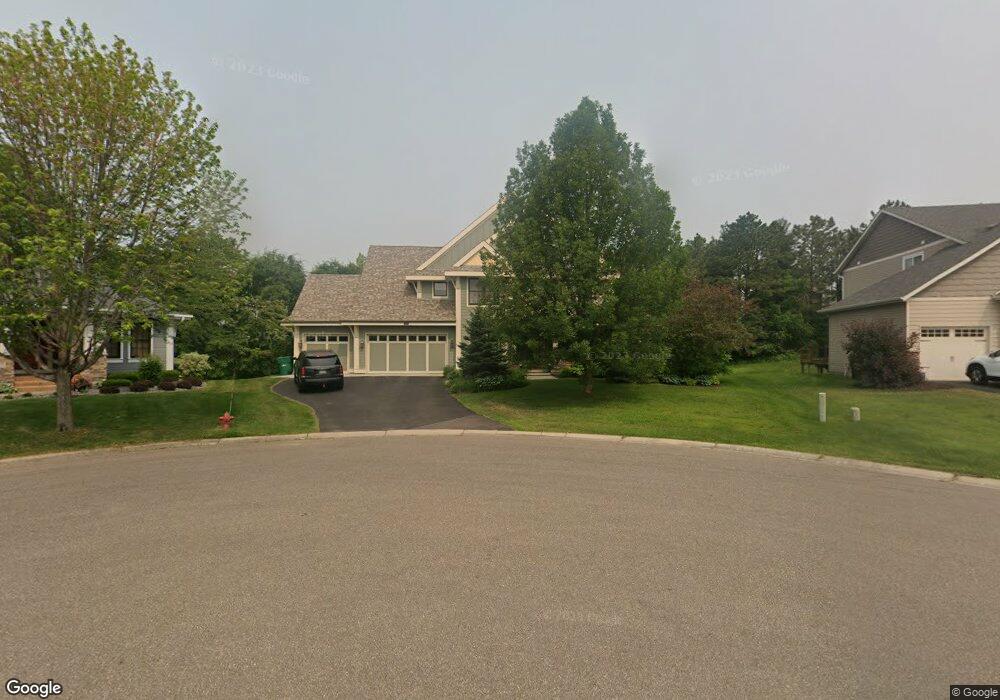
569 Spruce Cir Saint Paul, MN 55123
Estimated Value: $701,000 - $901,000
5
Beds
4
Baths
3,370
Sq Ft
$235/Sq Ft
Est. Value
About This Home
This home is located at 569 Spruce Cir, Saint Paul, MN 55123 and is currently estimated at $790,631, approximately $234 per square foot. 569 Spruce Cir is a home located in Dakota County with nearby schools including Red Pine Elementary School, Dakota Hills Middle School, and Eagan Senior High School.
Ownership History
Date
Name
Owned For
Owner Type
Purchase Details
Closed on
Feb 20, 2007
Sold by
Manley Brothers Construction Inc
Bought by
Hardgrove Ian F
Current Estimated Value
Home Financials for this Owner
Home Financials are based on the most recent Mortgage that was taken out on this home.
Original Mortgage
$600,791
Outstanding Balance
$362,242
Interest Rate
6.28%
Mortgage Type
New Conventional
Estimated Equity
$428,389
Create a Home Valuation Report for This Property
The Home Valuation Report is an in-depth analysis detailing your home's value as well as a comparison with similar homes in the area
Home Values in the Area
Average Home Value in this Area
Purchase History
| Date | Buyer | Sale Price | Title Company |
|---|---|---|---|
| Hardgrove Ian F | $750,989 | -- |
Source: Public Records
Mortgage History
| Date | Status | Borrower | Loan Amount |
|---|---|---|---|
| Open | Hardgrove Ian F | $600,791 |
Source: Public Records
Tax History Compared to Growth
Tax History
| Year | Tax Paid | Tax Assessment Tax Assessment Total Assessment is a certain percentage of the fair market value that is determined by local assessors to be the total taxable value of land and additions on the property. | Land | Improvement |
|---|---|---|---|---|
| 2024 | $9,150 | $792,800 | $205,500 | $587,300 |
| 2023 | $9,150 | $0 | $0 | $0 |
| 2022 | $7,870 | $742,500 | $205,600 | $536,900 |
| 2021 | $8,068 | $669,500 | $178,800 | $490,700 |
| 2020 | $8,218 | $669,700 | $170,300 | $499,400 |
| 2019 | $7,604 | $665,100 | $162,200 | $502,900 |
| 2018 | $6,878 | $648,200 | $154,500 | $493,700 |
| 2017 | $7,068 | $577,000 | $147,200 | $429,800 |
| 2016 | $7,002 | $566,600 | $140,100 | $426,500 |
| 2015 | $6,968 | $557,800 | $140,100 | $417,700 |
| 2014 | -- | $563,400 | $136,300 | $427,100 |
| 2013 | -- | $490,300 | $123,700 | $366,600 |
Source: Public Records
Map
Nearby Homes
- 4921 Avery Ct
- 4868 Avery Ct
- 4902 Brooklyn Ln
- 4837 Avery Ct
- 625 Remington Ct
- 635 Parkside Ct
- 4829 Redpoll Ct
- 636 Parkside Ct
- 4955 Parkside Cir
- 4928 Parkside Cir
- 4927 Parkside Cir
- 4938 Parkside Cir
- 4944 Parkside Cir
- 11735 Azure Cir
- 11668 Azure Ct
- 4950 Parkside Cir
- 4978 Dodd Rd
- 4979 Dodd Rd
- 4951 Parkside Cir
- 4983 Dodd Rd