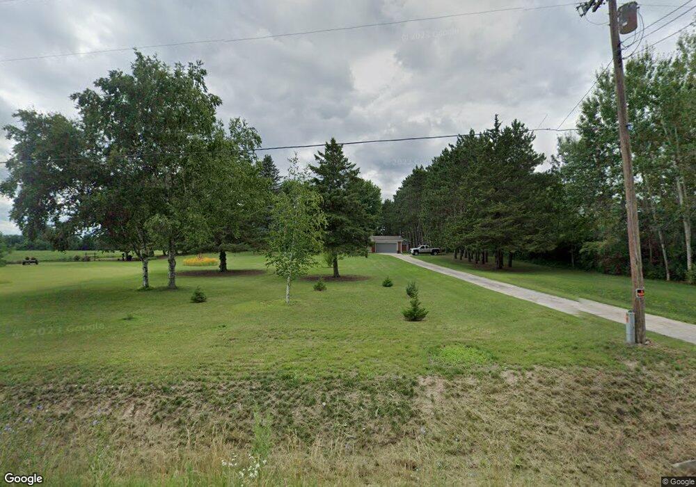
5698 Carter Rd Auburn, MI 48611
Estimated Value: $178,000 - $220,000
3
Beds
1
Bath
1,402
Sq Ft
$141/Sq Ft
Est. Value
About This Home
This home is located at 5698 Carter Rd, Auburn, MI 48611 and is currently estimated at $197,143, approximately $140 per square foot. 5698 Carter Rd is a home with nearby schools including Thrasher Attendance Center, Auburn Elementary School, and Western Middle School.
Ownership History
Date
Name
Owned For
Owner Type
Purchase Details
Closed on
Sep 17, 2013
Sold by
Reinke Evelyn J
Bought by
Roznowski Raymond T and Roznowski Sharon
Current Estimated Value
Home Financials for this Owner
Home Financials are based on the most recent Mortgage that was taken out on this home.
Original Mortgage
$72,000
Outstanding Balance
$18,401
Interest Rate
4.38%
Mortgage Type
New Conventional
Estimated Equity
$178,742
Purchase Details
Closed on
Oct 26, 2012
Sold by
Reinke Evelyn J
Bought by
Reinke Evelyn J
Purchase Details
Closed on
Nov 4, 1999
Sold by
Reinke William G and Reinke Evelyn J
Bought by
Reinke, William G & Evelyn J Trust
Create a Home Valuation Report for This Property
The Home Valuation Report is an in-depth analysis detailing your home's value as well as a comparison with similar homes in the area
Home Values in the Area
Average Home Value in this Area
Purchase History
| Date | Buyer | Sale Price | Title Company |
|---|---|---|---|
| Roznowski Raymond T | $90,000 | None Available | |
| Reinke Evelyn J | -- | None Available | |
| Reinke, William G & Evelyn J Trust | -- | -- | |
| Reinke William G | -- | -- |
Source: Public Records
Mortgage History
| Date | Status | Borrower | Loan Amount |
|---|---|---|---|
| Open | Roznowski Raymond T | $72,000 |
Source: Public Records
Tax History Compared to Growth
Tax History
| Year | Tax Paid | Tax Assessment Tax Assessment Total Assessment is a certain percentage of the fair market value that is determined by local assessors to be the total taxable value of land and additions on the property. | Land | Improvement |
|---|---|---|---|---|
| 2025 | $2,277 | $75,150 | $0 | $0 |
| 2024 | $1,086 | $69,700 | $0 | $0 |
| 2023 | $1,034 | $61,250 | $0 | $0 |
| 2022 | $2,093 | $55,950 | $0 | $0 |
| 2021 | $1,950 | $52,400 | $52,400 | $0 |
| 2020 | $1,816 | $50,650 | $50,650 | $0 |
| 2019 | $1,604 | $44,700 | $0 | $0 |
| 2018 | $1,527 | $41,450 | $0 | $0 |
| 2017 | $1,513 | $42,300 | $0 | $0 |
| 2016 | $1,691 | $47,300 | $0 | $47,300 |
| 2015 | -- | $48,100 | $0 | $48,100 |
| 2014 | -- | $48,100 | $0 | $48,100 |
Source: Public Records
Map
Nearby Homes
- 10832 Carter Rd
- 5749 11 Mile Rd
- 10399 Webster Rd
- 4956 W Bis Rd
- 4806 Northridge
- 0 W Midland Rd Unit 50189337
- 0 W Midland Rd Unit 50152278
- 1954 W Midland Rd
- Parcel 175 Joan Dr
- 2011 Prairie Point Dr
- 1598 Fisherville Ct
- 1587 Fisherville Ct
- 0 Court St
- 2730 W Midland Rd
- 4745 Bailey Bridge Rd
- 4760 Putt Ln
- 4648 Meadow Ct
- 8981 Highland Dr
- 10585 Prairie View Ct
- 1365 W North Union Rd
- 5784 Carter Rd
- 5808 Carter Rd
- 5822 Carter Rd
- 5822 Carter Rd
- 5833 Carter Rd
- 5699 Carter Rd
- 5699 Carter Rd
- 5845 Carter Rd
- 2376 Hotchkiss Rd
- 2356 Hotchkiss Rd
- 5860 Carter Rd
- 5890 Carter Rd
- 5902 Carter Rd
- 5951 Carter Rd
- 1964 Hotchkiss Rd
- 1850 Hotchkiss Rd
- 1738 Roberts Rd
- 2054 Hotchkiss Rd
- 2058 Hotchkiss Rd
- 2092 Hotchkiss Rd