57 Cove Rd Moultonborough, NH 03254
Estimated Value: $2,266,000 - $2,851,000
3
Beds
3
Baths
3,177
Sq Ft
$798/Sq Ft
Est. Value
About This Home
This home is located at 57 Cove Rd, Moultonborough, NH 03254 and is currently estimated at $2,534,066, approximately $797 per square foot. 57 Cove Rd is a home located in Carroll County with nearby schools including Moultonborough Central School and Moultonborough Academy High School.
Ownership History
Date
Name
Owned For
Owner Type
Purchase Details
Closed on
Oct 4, 2011
Sold by
Conn Charles R and Conn Karin L
Bought by
Laliberte Peter P and Laliberte Ena M
Current Estimated Value
Home Financials for this Owner
Home Financials are based on the most recent Mortgage that was taken out on this home.
Original Mortgage
$365,000
Outstanding Balance
$249,544
Interest Rate
4.15%
Mortgage Type
Purchase Money Mortgage
Estimated Equity
$2,284,522
Create a Home Valuation Report for This Property
The Home Valuation Report is an in-depth analysis detailing your home's value as well as a comparison with similar homes in the area
Home Values in the Area
Average Home Value in this Area
Purchase History
| Date | Buyer | Sale Price | Title Company |
|---|---|---|---|
| Laliberte Peter P | $98,300 | -- |
Source: Public Records
Mortgage History
| Date | Status | Borrower | Loan Amount |
|---|---|---|---|
| Open | Laliberte Peter P | $365,000 | |
| Previous Owner | Laliberte Peter P | $400,000 | |
| Previous Owner | Laliberte Peter P | $300,000 |
Source: Public Records
Tax History Compared to Growth
Tax History
| Year | Tax Paid | Tax Assessment Tax Assessment Total Assessment is a certain percentage of the fair market value that is determined by local assessors to be the total taxable value of land and additions on the property. | Land | Improvement |
|---|---|---|---|---|
| 2024 | $10,905 | $1,930,100 | $1,454,600 | $475,500 |
| 2023 | $9,977 | $1,750,300 | $1,302,100 | $448,200 |
| 2022 | $7,301 | $1,527,400 | $1,120,700 | $406,700 |
| 2021 | $8,494 | $1,216,900 | $870,400 | $346,500 |
| 2020 | $1,343 | $1,122,300 | $788,900 | $333,400 |
| 2019 | $1,195 | $1,081,700 | $768,900 | $312,800 |
| 2018 | $1,370 | $965,900 | $659,100 | $306,800 |
| 2017 | $1,327 | $937,600 | $640,800 | $296,800 |
| 2016 | $1,282 | $897,000 | $619,500 | $277,500 |
| 2015 | $7,831 | $869,100 | $619,500 | $249,600 |
| 2014 | $7,481 | $844,400 | $619,500 | $224,900 |
| 2013 | $7,616 | $876,400 | $619,500 | $256,900 |
Source: Public Records
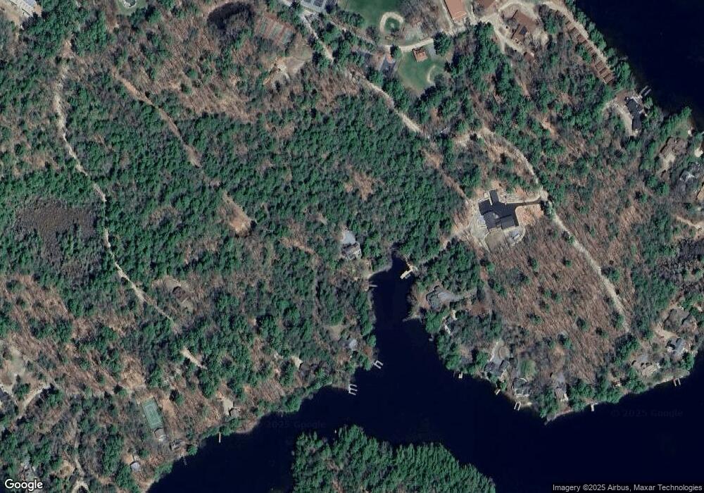
Map
Nearby Homes
- 14 Island View Dr
- 00 Beede Rd
- 323 Governor Wentworth Hwy
- 167 Long Island Rd
- 10 Woodridge Rd
- 7 Flint Dr
- 16 Long Island Rd
- 24 Shirley Way
- 00 Rivers Rd
- 4 Mill Pond Rd
- 9 Starboard Ln Unit 1
- 3 Mountain Shadows Dr Unit 2
- 4 Partridge Berry Cir
- 2 Oak Leaf Ave
- 5 Bennett Farm Rd
- 31 Rays Way
- 106 Middle Rd
- Lot 4 Vere Royce Rd
- 23 Ledge Hill Rd
- 9 Lady Slipper Ln
- lot 32 B Cove Rd
- 80 Cove Rd
- 29 Loon Song Ln
- 33 Clement Rd
- 27 Loon Song Ln
- 50 Bartlett Landing Rd
- 25 Loon Song Ln
- Lot 14 Cove Rd
- 61 Ben Ayers Rd
- 23 Loon Song Ln
- 32 Clement Rd
- 17 Loon Song Ln
- 15 Loon Song Ln
- 22 Clement Rd
- 9 Loon Song Ln
- 90 Bartlett Landing Rd
- 20 Clement Rd
- 14 Cove Rd
- 49 Bartlett Landing Rd
- 50 Spectacle Cir