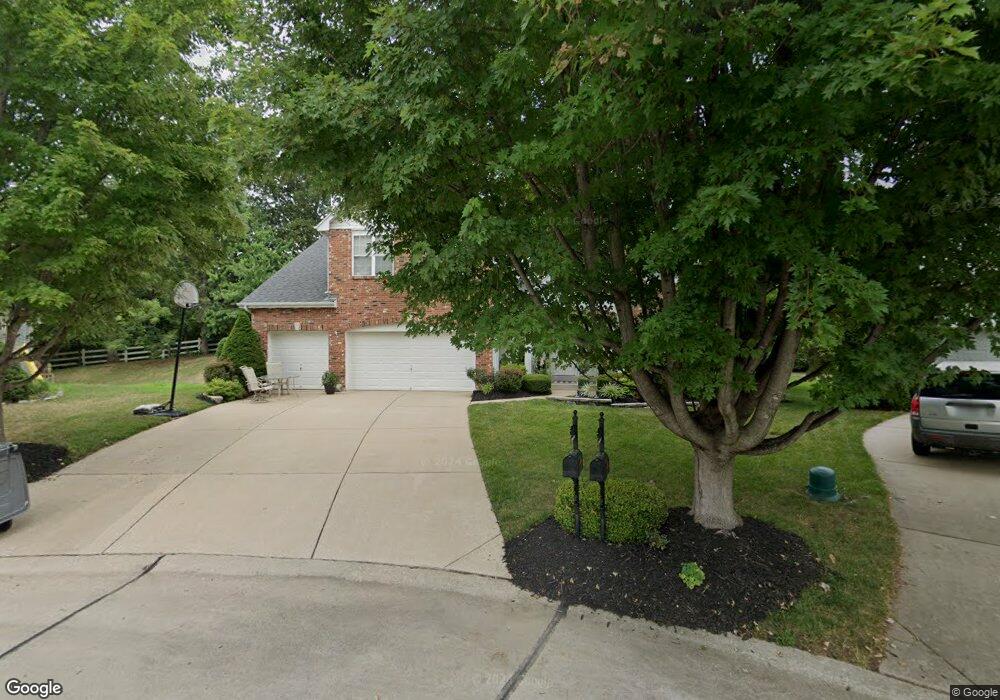
57 Crooked Tree Ct O Fallon, MO 63368
Estimated Value: $496,000 - $534,000
4
Beds
3
Baths
3,196
Sq Ft
$160/Sq Ft
Est. Value
About This Home
This home is located at 57 Crooked Tree Ct, O Fallon, MO 63368 and is currently estimated at $512,401, approximately $160 per square foot. 57 Crooked Tree Ct is a home located in St. Charles County with nearby schools including Crossroads Elementary School, Frontier Middle School, and Liberty High School.
Ownership History
Date
Name
Owned For
Owner Type
Purchase Details
Closed on
Jun 22, 2000
Sold by
Mayer Custom Homes Inc
Bought by
Kaestner David C and Kaestner Sandra L
Current Estimated Value
Home Financials for this Owner
Home Financials are based on the most recent Mortgage that was taken out on this home.
Original Mortgage
$181,600
Outstanding Balance
$64,705
Interest Rate
8.37%
Estimated Equity
$447,696
Create a Home Valuation Report for This Property
The Home Valuation Report is an in-depth analysis detailing your home's value as well as a comparison with similar homes in the area
Home Values in the Area
Average Home Value in this Area
Purchase History
| Date | Buyer | Sale Price | Title Company |
|---|---|---|---|
| Kaestner David C | $227,525 | -- |
Source: Public Records
Mortgage History
| Date | Status | Borrower | Loan Amount |
|---|---|---|---|
| Open | Kaestner David C | $181,600 | |
| Closed | Kaestner David C | $34,050 |
Source: Public Records
Tax History Compared to Growth
Tax History
| Year | Tax Paid | Tax Assessment Tax Assessment Total Assessment is a certain percentage of the fair market value that is determined by local assessors to be the total taxable value of land and additions on the property. | Land | Improvement |
|---|---|---|---|---|
| 2025 | $5,435 | $86,185 | -- | -- |
| 2024 | $5,435 | $79,544 | -- | -- |
| 2023 | $5,439 | $79,544 | $0 | $0 |
| 2022 | $5,019 | $68,433 | $0 | $0 |
| 2021 | $5,030 | $68,433 | $0 | $0 |
| 2020 | $4,638 | $60,590 | $0 | $0 |
| 2019 | $4,353 | $60,590 | $0 | $0 |
| 2018 | $4,199 | $55,595 | $0 | $0 |
| 2017 | $4,172 | $55,595 | $0 | $0 |
| 2016 | $4,050 | $51,767 | $0 | $0 |
| 2015 | $3,990 | $51,767 | $0 | $0 |
| 2014 | $3,857 | $53,675 | $0 | $0 |
Source: Public Records
Map
Nearby Homes
- 318 Copper Tree Ct
- 612 Thornridge Dr
- 243 Chestnut Hill Dr
- 116 Cedarstone Dr
- Rosemont Plan at Cedarstone - Heritage Collections
- Windsor Plan at Cedarstone - Heritage Collections
- Davenport Plan at Cedarstone - Heritage Collections
- Sierra Universal Design Plan at Cedarstone - Heritage Collections
- Lancaster Plan at Cedarstone - Heritage Collections
- Chesapeake Plan at Cedarstone - Heritage Collections
- Braxton Plan at Cedarstone - Heritage Collections
- Pierce Plan at Cedarstone - Heritage Collections
- Sierra Plan at Cedarstone - Heritage Collections
- Portsmouth Plan at Cedarstone - Heritage Collections
- Bridgeport Plan at Cedarstone - Heritage Collections
- 0 Chesapeake @ Cedarstone Unit MAR24063701
- 0 Universal Design @ Cedarstone Unit MAR24063686
- 0 Bridgeport @ Cedarstone Unit MAR24063669
- 0 Braxton @ Cedarstone Unit MAR24063663
- 0 Lancaster @ Cedarstone Unit MAR24063683
- 55 Crooked Tree Ct
- 59 Crooked Tree Ct
- 46 Ironwood Ct
- 48 Ironwood Ct
- 53 Crooked Tree Ct
- 44 Ironwood Ct
- 58 Crooked Tree Ct
- 2361 Post Rd
- 56 Crooked Tree Ct
- 51 Crooked Tree Ct
- 519 Ironwood Dr
- 49 Ironwood Ct
- 54 Crooked Tree Ct
- 517 Ironwood Dr
- 52 Crooked Tree Ct
- 47 Ironwood Ct
- 45 Ironwood Ct
- 3501 Post Valley Dr
- 43 Ironwood Ct
- 169 Keystone Crossing Dr