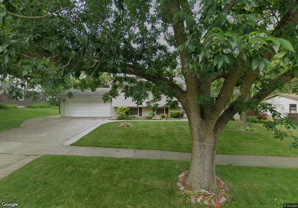
57 Drendel Ln Naperville, IL 60565
Maple Brook NeighborhoodEstimated Value: $420,967 - $504,000
Studio
1
Bath
1,250
Sq Ft
$365/Sq Ft
Est. Value
About This Home
This home is located at 57 Drendel Ln, Naperville, IL 60565 and is currently estimated at $456,742, approximately $365 per square foot. 57 Drendel Ln is a home located in DuPage County with nearby schools including Maplebrook Elementary School, Lincoln Jr. High School, and Naperville Central High School.
Ownership History
Date
Name
Owned For
Owner Type
Purchase Details
Closed on
Nov 5, 2018
Sold by
Jungels Timothy S
Bought by
Jungels Marilyn J
Current Estimated Value
Purchase Details
Closed on
May 27, 2003
Sold by
Wood Thomas L and Wood Carol F
Bought by
Jungels Timothy S and Jungels Marilyn J
Home Financials for this Owner
Home Financials are based on the most recent Mortgage that was taken out on this home.
Original Mortgage
$235,600
Interest Rate
5.9%
Mortgage Type
Purchase Money Mortgage
Purchase Details
Closed on
Mar 19, 2001
Sold by
Werst David and Werst Melanie
Bought by
Wood Thomas L and Wood Carol F
Home Financials for this Owner
Home Financials are based on the most recent Mortgage that was taken out on this home.
Original Mortgage
$174,000
Interest Rate
7.03%
Create a Home Valuation Report for This Property
The Home Valuation Report is an in-depth analysis detailing your home's value as well as a comparison with similar homes in the area
Home Values in the Area
Average Home Value in this Area
Purchase History
| Date | Buyer | Sale Price | Title Company |
|---|---|---|---|
| Jungels Marilyn J | -- | Attorney | |
| Jungels Timothy S | $248,000 | Ctic | |
| Wood Thomas L | $217,500 | Law Title Pick Up |
Source: Public Records
Mortgage History
| Date | Status | Borrower | Loan Amount |
|---|---|---|---|
| Closed | Jungels Timothy S | $235,600 | |
| Previous Owner | Wood Thomas L | $174,000 | |
| Closed | Wood Thomas L | $32,625 |
Source: Public Records
Tax History
| Year | Tax Paid | Tax Assessment Tax Assessment Total Assessment is a certain percentage of the fair market value that is determined by local assessors to be the total taxable value of land and additions on the property. | Land | Improvement |
|---|---|---|---|---|
| 2024 | $8,020 | $138,913 | $74,343 | $64,570 |
| 2023 | $7,718 | $126,780 | $67,850 | $58,930 |
| 2022 | $7,426 | $120,740 | $64,620 | $56,120 |
| 2021 | $7,152 | $116,180 | $62,180 | $54,000 |
| 2020 | $6,998 | $114,090 | $61,060 | $53,030 |
| 2019 | $6,790 | $109,160 | $58,420 | $50,740 |
| 2018 | $6,616 | $106,490 | $56,990 | $49,500 |
| 2017 | $6,480 | $102,900 | $55,070 | $47,830 |
| 2016 | $6,347 | $99,180 | $53,080 | $46,100 |
| 2015 | $6,300 | $93,400 | $49,990 | $43,410 |
| 2014 | $6,174 | $88,950 | $47,610 | $41,340 |
| 2013 | $6,081 | $89,160 | $47,720 | $41,440 |
Source: Public Records
Map
Nearby Homes
- 48 Starling Ln
- 332 Prairie Knoll Dr
- 43 Foxcroft Rd Unit 43127
- 381 Prairie Knoll Dr
- 1751 S Washington St Unit 1
- 1678 Cove Ct Unit 5
- 50 Plymouth Ct Unit 202B
- 2153 Lancaster Cir Unit 102B
- 2132 Berkley Ct Unit 202B
- 628 Flock Ave Unit 3
- 124 E Bailey Rd Unit E
- 307 Leeds Ct
- 1919 Coach Dr
- 2023 Springside Dr
- 1710 Coach Dr
- 1532 Swallow St
- 233 Briarheath Ln
- 2245 Petworth Ct Unit 202C
- 77 Bluebird Ln
- 2206 Worthing Dr
Your Personal Tour Guide
Ask me questions while you tour the home.