Estimated Value: $464,974 - $568,000
3
Beds
2
Baths
1,964
Sq Ft
$262/Sq Ft
Est. Value
About This Home
This home is located at 57 Forest Rd, Weare, NH 03281 and is currently estimated at $515,494, approximately $262 per square foot. 57 Forest Rd is a home with nearby schools including Center Woods Elementary School, Weare Middle School, and John Stark Regional High School.
Ownership History
Date
Name
Owned For
Owner Type
Purchase Details
Closed on
Oct 22, 1996
Sold by
Fhlmc
Bought by
Sullivan Keith M and Sullivan Kelly M
Current Estimated Value
Home Financials for this Owner
Home Financials are based on the most recent Mortgage that was taken out on this home.
Original Mortgage
$45,000
Interest Rate
8.26%
Purchase Details
Closed on
Apr 10, 1996
Sold by
Menize Robert R and Menize Cathleen A
Bought by
Centerbank Mtg
Create a Home Valuation Report for This Property
The Home Valuation Report is an in-depth analysis detailing your home's value as well as a comparison with similar homes in the area
Home Values in the Area
Average Home Value in this Area
Purchase History
| Date | Buyer | Sale Price | Title Company |
|---|---|---|---|
| Sullivan Keith M | $33,000 | -- | |
| Centerbank Mtg | $78,000 | -- |
Source: Public Records
Mortgage History
| Date | Status | Borrower | Loan Amount |
|---|---|---|---|
| Open | Centerbank Mtg | $73,000 | |
| Closed | Centerbank Mtg | $45,000 |
Source: Public Records
Tax History Compared to Growth
Tax History
| Year | Tax Paid | Tax Assessment Tax Assessment Total Assessment is a certain percentage of the fair market value that is determined by local assessors to be the total taxable value of land and additions on the property. | Land | Improvement |
|---|---|---|---|---|
| 2024 | $5,746 | $281,800 | $91,400 | $190,400 |
| 2023 | $5,309 | $281,800 | $91,400 | $190,400 |
| 2022 | $4,903 | $281,800 | $91,400 | $190,400 |
| 2021 | $4,847 | $281,800 | $91,400 | $190,400 |
| 2020 | $4,601 | $192,100 | $64,800 | $127,300 |
| 2019 | $4,555 | $192,100 | $64,800 | $127,300 |
| 2018 | $4,424 | $192,100 | $64,800 | $127,300 |
| 2016 | $4,297 | $192,100 | $64,800 | $127,300 |
| 2015 | $4,227 | $188,600 | $64,300 | $124,300 |
| 2014 | $4,189 | $188,600 | $64,300 | $124,300 |
| 2013 | $4,102 | $188,600 | $64,300 | $124,300 |
Source: Public Records
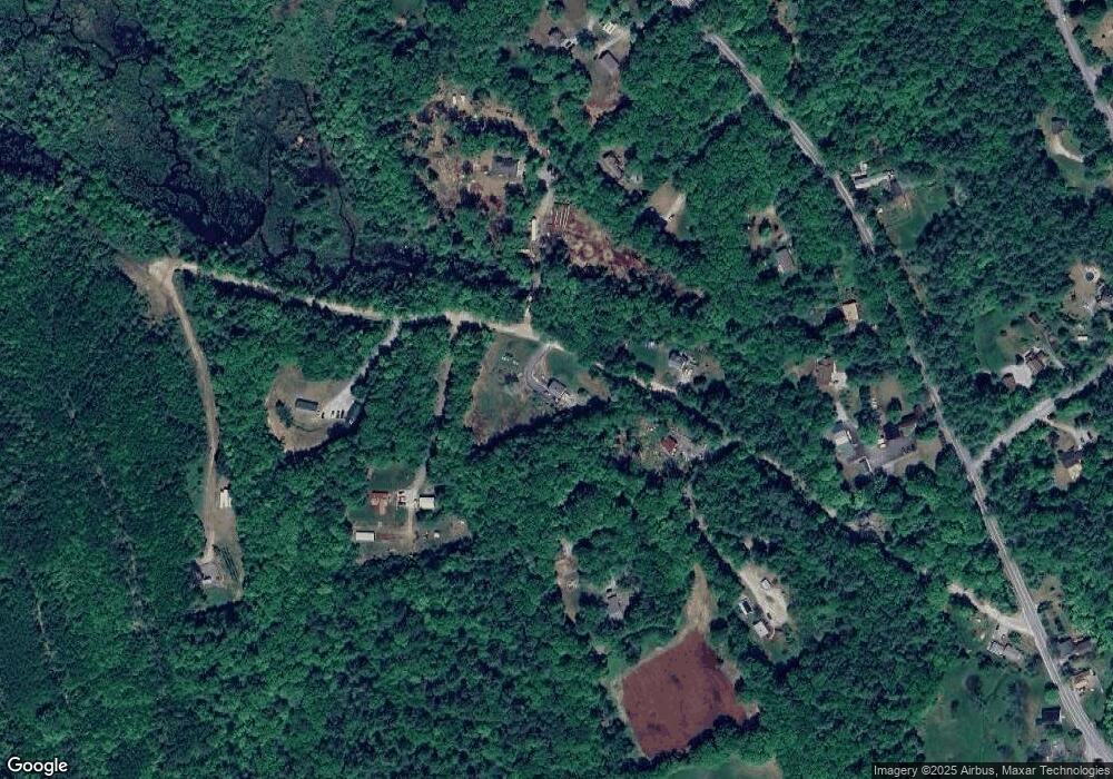
Map
Nearby Homes
- 624 S Stark Hwy
- 179 Oak Hill Rd
- 103 Renshaw Rd
- 196 Deering Center Rd
- 238 Old Francestown Rd
- 77 Gould Rd
- 93 Daniels Rd
- 450 Weare Rd
- 200 Mountain Rd
- 95 Wright Dr
- 174 S Stark Hwy Unit 13
- 174 S Stark Hwy Unit 1
- 174 S Stark Hwy Unit 23
- 342 Weare Rd
- 10 Sap House Rd
- 34 Lull Rd
- Lot 1-50-1 Colburn Rd
- 849 River Rd
- 194 Buckley Rd Unit 2
- 194 Buckley Rd Unit 44
- 46 Forest Rd
- 43 Forest Rd
- 331 Dustin Tavern Rd
- 71 Forest Rd
- 333 Dustin Tavern Rd
- 62 Forest Rd
- 39 Forest Rd
- 75 Forest Rd
- 313 Dustin Tavern Rd
- 295 Dustin Tavern Rd
- 303 Dustin Tavern Rd
- 37 Forest Rd
- 341 Dustin Tavern Rd
- 24 Forest Rd
- 291 Dustin Tavern Rd
- 316 Dustin Tavern Rd
- 367 Dustin Tavern Rd
- 342 Dustin Tavern Rd
- 334 Dustin Tavern Rd
- 352 Dustin Tavern Rd