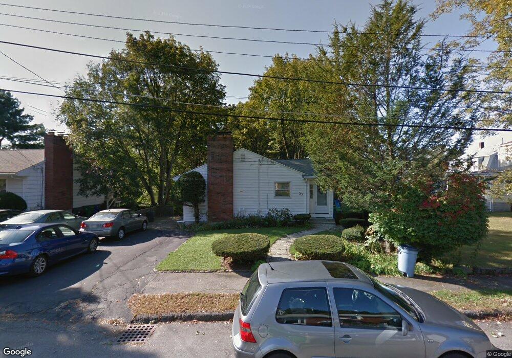
57 James St West Newton, MA 02465
West Newton NeighborhoodEstimated Value: $936,000 - $1,079,507
3
Beds
3
Baths
1,244
Sq Ft
$825/Sq Ft
Est. Value
About This Home
This home is located at 57 James St, West Newton, MA 02465 and is currently estimated at $1,026,377, approximately $825 per square foot. 57 James St is a home located in Middlesex County with nearby schools including C.C. Burr, Franklin Elementary School, and F.A. Day Middle School.
Ownership History
Date
Name
Owned For
Owner Type
Purchase Details
Closed on
Aug 29, 2013
Sold by
Lau Chat C and Lau Yim J
Bought by
Lau Chat C and Lau Yim J
Current Estimated Value
Purchase Details
Closed on
Feb 6, 2013
Sold by
Est Law Chik C and Lee Alvin W
Bought by
Lau Chat C
Purchase Details
Closed on
Aug 27, 1991
Sold by
Mcinerney Paul J and Mcinerney Linda
Bought by
Law Chik Ching and Lau Chat Chun
Home Financials for this Owner
Home Financials are based on the most recent Mortgage that was taken out on this home.
Original Mortgage
$110,000
Interest Rate
9.55%
Mortgage Type
Purchase Money Mortgage
Purchase Details
Closed on
Oct 4, 1989
Sold by
Mcinerney Paul J
Bought by
Mcinerney Paul J
Home Financials for this Owner
Home Financials are based on the most recent Mortgage that was taken out on this home.
Original Mortgage
$155,000
Interest Rate
10.12%
Mortgage Type
Purchase Money Mortgage
Create a Home Valuation Report for This Property
The Home Valuation Report is an in-depth analysis detailing your home's value as well as a comparison with similar homes in the area
Home Values in the Area
Average Home Value in this Area
Purchase History
| Date | Buyer | Sale Price | Title Company |
|---|---|---|---|
| Lau Chat C | -- | -- | |
| Lau Chat C | -- | -- | |
| Law Chik Ching | $215,000 | -- | |
| Mcinerney Paul J | $90,000 | -- |
Source: Public Records
Mortgage History
| Date | Status | Borrower | Loan Amount |
|---|---|---|---|
| Previous Owner | Mcinerney Paul J | $103,000 | |
| Previous Owner | Mcinerney Paul J | $110,000 | |
| Previous Owner | Mcinerney Paul J | $155,000 |
Source: Public Records
Tax History Compared to Growth
Tax History
| Year | Tax Paid | Tax Assessment Tax Assessment Total Assessment is a certain percentage of the fair market value that is determined by local assessors to be the total taxable value of land and additions on the property. | Land | Improvement |
|---|---|---|---|---|
| 2025 | $8,208 | $837,500 | $790,200 | $47,300 |
| 2024 | $7,936 | $813,100 | $767,200 | $45,900 |
| 2023 | $7,398 | $726,700 | $581,400 | $145,300 |
| 2022 | $7,079 | $672,900 | $538,300 | $134,600 |
| 2021 | $6,830 | $634,800 | $507,800 | $127,000 |
| 2020 | $6,627 | $634,800 | $507,800 | $127,000 |
| 2019 | $6,440 | $616,300 | $493,000 | $123,300 |
| 2018 | $6,133 | $566,800 | $448,100 | $118,700 |
| 2017 | $5,946 | $534,700 | $422,700 | $112,000 |
| 2016 | $5,687 | $499,700 | $395,000 | $104,700 |
| 2015 | $5,422 | $467,000 | $369,200 | $97,800 |
Source: Public Records
Map
Nearby Homes
- 265-267 River St Unit 267
- 265-267 River St Unit 265
- 334 River St
- 101-103 Lexington St
- 33 Lill Ave
- 56 Dearborn St
- 31-37 Washington Ave
- 44 Westland Ave
- 24 Tolman St Unit A
- 25 Tolman St Unit 2
- 90 Auburndale Ave
- 73 Orange St Unit 2
- 5-7 Chester Ave
- 14 Cottage Place Unit 14
- 287 Cherry St Unit 2
- 160 Pine St Unit 12
- 659 Moody St Unit 2
- 106 River St Unit 18
- 106 River St Unit 2
- 106 River St Unit 14