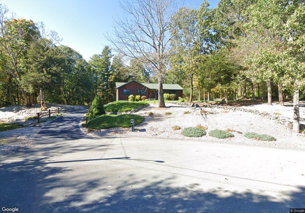
57 Latham Farm Rd Smithfield, RI 02917
Estimated Value: $564,297 - $704,000
3
Beds
2
Baths
1,612
Sq Ft
$395/Sq Ft
Est. Value
About This Home
This home is located at 57 Latham Farm Rd, Smithfield, RI 02917 and is currently estimated at $636,074, approximately $394 per square foot. 57 Latham Farm Rd is a home located in Providence County with nearby schools including Raymond Laperche School, Vincent J. Gallagher Middle School, and Smithfield High School.
Ownership History
Date
Name
Owned For
Owner Type
Purchase Details
Closed on
May 9, 2025
Sold by
Lamantia Ft and Lamantia
Bought by
Lamantia Family Irt and Gallotello
Current Estimated Value
Purchase Details
Closed on
Oct 26, 2018
Sold by
Lamantia David W and Lamantia Pauline G
Bought by
Lamantia Ft and Lamantia
Purchase Details
Closed on
Aug 31, 2000
Sold by
Harrington Richard P and Harrington Mary Rose
Bought by
Lamantia David W and Lamantia Pauline G
Home Financials for this Owner
Home Financials are based on the most recent Mortgage that was taken out on this home.
Original Mortgage
$130,000
Interest Rate
8.16%
Create a Home Valuation Report for This Property
The Home Valuation Report is an in-depth analysis detailing your home's value as well as a comparison with similar homes in the area
Home Values in the Area
Average Home Value in this Area
Purchase History
| Date | Buyer | Sale Price | Title Company |
|---|---|---|---|
| Lamantia Family Irt | -- | None Available | |
| Lamantia Family Irt | -- | None Available | |
| Lamantia Family Irt | -- | None Available | |
| Lamantia Ft | -- | -- | |
| Lamantia Ft | -- | -- | |
| Lamantia David W | $210,000 | -- | |
| Lamantia David W | $210,000 | -- |
Source: Public Records
Mortgage History
| Date | Status | Borrower | Loan Amount |
|---|---|---|---|
| Previous Owner | Lamantia David W | $125,000 | |
| Previous Owner | Lamantia David W | $132,000 | |
| Previous Owner | Lamantia David W | $130,000 |
Source: Public Records
Tax History Compared to Growth
Tax History
| Year | Tax Paid | Tax Assessment Tax Assessment Total Assessment is a certain percentage of the fair market value that is determined by local assessors to be the total taxable value of land and additions on the property. | Land | Improvement |
|---|---|---|---|---|
| 2025 | $6,169 | $497,900 | $178,500 | $319,400 |
| 2024 | $5,977 | $413,900 | $149,600 | $264,300 |
| 2023 | $5,679 | $413,900 | $149,600 | $264,300 |
| 2022 | $5,530 | $413,900 | $149,600 | $264,300 |
| 2021 | $5,274 | $307,900 | $109,500 | $198,400 |
| 2020 | $5,176 | $307,900 | $109,500 | $198,400 |
| 2019 | $5,137 | $305,600 | $109,500 | $196,100 |
| 2018 | $5,185 | $295,300 | $125,200 | $170,100 |
| 2017 | $5,115 | $291,300 | $121,200 | $170,100 |
| 2016 | $4,873 | $291,300 | $121,200 | $170,100 |
| 2015 | $4,661 | $265,300 | $111,200 | $154,100 |
| 2012 | $4,702 | $293,500 | $133,000 | $160,500 |
Source: Public Records
Map
Nearby Homes
- 34 Latham Farm Rd
- 539 Douglas Pike
- 450 Log Rd
- 389 Douglas Pike
- 113 Log Rd
- 0 Douglas Pike
- 15 Leonard Dr
- 540 Greenville Rd
- 14 Mowry Rd
- 850 Black Plain Rd
- 505 Log Rd
- 0 Christina Way Unit 1360886
- 711 Black Plain Rd
- 30 Tarklin Rd
- 0 Follett St Unit 1394978
- 230 George Washington Hwy
- 0 Taber Hill Rd Unit 1396868
- 1 Capron Rd
- 6 Desiree Ct Unit A
- 7 Stone Ridge Dr
- 161 Cedar Forest Rd
- 49 Cedar Forest Rd
- 52 Cedar Forest Rd
- 50 Cedar Forest Rd
- 47 Cedar Forest Rd
- 48 Cedar Forest Rd
- 75 Cedar Forest Rd
- 74 Cedar Forest Rd
- 81 Cedar Forest Rd
- 55 Latham Farm Rd
- 80 Cedar Forest Rd
- 87 Cedar Forest Rd
- 42 Latham Farm Rd
- 53 Latham Farm Rd
- 93 Cedar Forest Rd
- 40 Latham Farm Rd
- 99 Cedar Forest Rd
- 38 Latham Farm Rd
- 51 Latham Farm Rd
- 43 Latham Farm Rd