57 Melton Ln Parsons, TN 38363
Estimated Value: $193,202 - $281,000
--
Bed
2
Baths
1,344
Sq Ft
$165/Sq Ft
Est. Value
About This Home
This home is located at 57 Melton Ln, Parsons, TN 38363 and is currently estimated at $221,301, approximately $164 per square foot. 57 Melton Ln is a home located in Decatur County with nearby schools including Parsons Elementary School, Decaturville Elementary School, and Decatur County Middle School.
Ownership History
Date
Name
Owned For
Owner Type
Purchase Details
Closed on
Sep 15, 2017
Sold by
Howard Robert E and Howard Janet B
Bought by
Dwyer Donnie G and Dwyer Lula D
Current Estimated Value
Home Financials for this Owner
Home Financials are based on the most recent Mortgage that was taken out on this home.
Original Mortgage
$48,530
Interest Rate
3.89%
Mortgage Type
Purchase Money Mortgage
Purchase Details
Closed on
Nov 3, 1998
Create a Home Valuation Report for This Property
The Home Valuation Report is an in-depth analysis detailing your home's value as well as a comparison with similar homes in the area
Home Values in the Area
Average Home Value in this Area
Purchase History
| Date | Buyer | Sale Price | Title Company |
|---|---|---|---|
| Dwyer Donnie G | $86,500 | None Available | |
| -- | $5,000 | -- |
Source: Public Records
Mortgage History
| Date | Status | Borrower | Loan Amount |
|---|---|---|---|
| Closed | Dwyer Donnie G | $48,530 |
Source: Public Records
Tax History Compared to Growth
Tax History
| Year | Tax Paid | Tax Assessment Tax Assessment Total Assessment is a certain percentage of the fair market value that is determined by local assessors to be the total taxable value of land and additions on the property. | Land | Improvement |
|---|---|---|---|---|
| 2025 | $591 | $45,050 | $0 | $0 |
| 2024 | $591 | $22,925 | $2,600 | $20,325 |
| 2023 | $591 | $22,925 | $2,600 | $20,325 |
| 2022 | $591 | $22,925 | $2,600 | $20,325 |
| 2021 | $561 | $22,925 | $2,600 | $20,325 |
| 2020 | $561 | $21,750 | $2,600 | $19,150 |
| 2019 | $435 | $19,325 | $2,600 | $16,725 |
| 2018 | $385 | $19,325 | $2,600 | $16,725 |
| 2017 | $385 | $19,325 | $2,600 | $16,725 |
| 2016 | $385 | $19,325 | $2,600 | $16,725 |
| 2015 | $385 | $19,325 | $2,600 | $16,725 |
| 2014 | $385 | $19,347 | $0 | $0 |
Source: Public Records
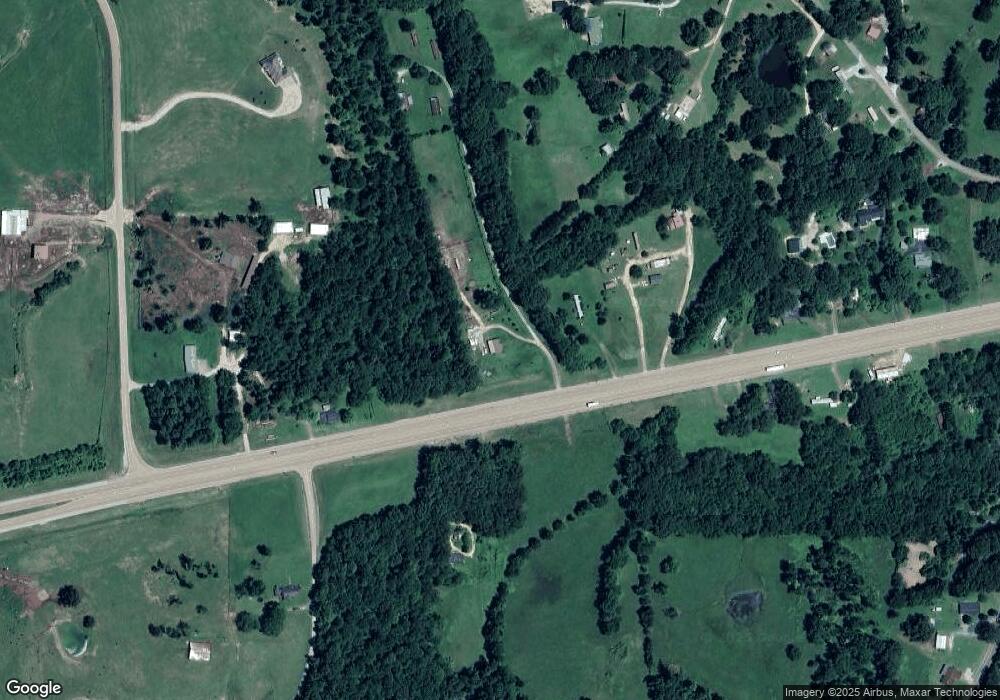
Map
Nearby Homes
- 2935 U S 412
- 2880 U S 412
- 1035 Beacon Rd
- 0 Darden Rd Unit RTC2969151
- 0 Darden Rd Unit 10202884
- 1176 Myracle Town Rd
- 145 Darden Ln
- 000 Darden Christian Chapel Rd
- 320 Wilkinstown Rd
- 0 Wilkinstown Rd
- 185 Corinth Rd
- 000 Hwy 412 E
- 869 W 4th St
- 174 Grice Ln
- 545 W 4th St
- 1338 New Hope Rd
- x Highway 641 Hwy
- 398 Carrington Place
- 91 E 2nd St
- 121 Melton Ln
- 3565 Us Highway 412 W
- 66 Vaughn Ln
- 3595 Us Highway 412 W
- 3462 Us Highway 412 W
- 24901 Us Highway 412 E
- 3304 Highway 412 W
- 3441 Us Highway 412 W
- 3399 Us Highway 412 W
- 3378 Us Highway 412 W
- 3348 Us Highway 412 W
- 331 Box Rd
- 3329 Highway 412 W
- 235 Box Rd
- 3294 Highway 412 W
- 215 Box Rd
- 173 Box Rd
- 286 Box Rd
- 188 Beacon Rd
- 231 Tolley Rd