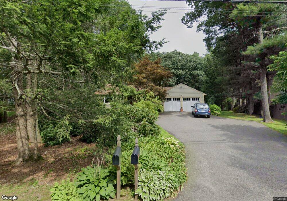
57 Pine St Unit 1 Needham, MA 02492
Estimated Value: $1,578,000 - $2,321,961
3
Beds
3
Baths
2,700
Sq Ft
$676/Sq Ft
Est. Value
About This Home
This home is located at 57 Pine St Unit 1, Needham, MA 02492 and is currently estimated at $1,824,240, approximately $675 per square foot. 57 Pine St Unit 1 is a home located in Norfolk County with nearby schools including Newman Elementary School, High Rock Middle School, and Pollard Middle School.
Ownership History
Date
Name
Owned For
Owner Type
Purchase Details
Closed on
Jun 5, 2015
Sold by
Lowenstein Adam C and Lowenstein Angela M
Bought by
Weiner David and Landau Cynthia
Current Estimated Value
Purchase Details
Closed on
Oct 24, 2005
Sold by
Downey Alicia L and Johnson Rodney D
Bought by
Lowenstein Adam C and Lowenstein Angela M
Home Financials for this Owner
Home Financials are based on the most recent Mortgage that was taken out on this home.
Original Mortgage
$465,075
Interest Rate
5.72%
Mortgage Type
Purchase Money Mortgage
Purchase Details
Closed on
Aug 30, 1993
Sold by
Levine Daniel I and Levine Ann
Bought by
Johnson Rodney D
Home Financials for this Owner
Home Financials are based on the most recent Mortgage that was taken out on this home.
Original Mortgage
$245,250
Interest Rate
7.06%
Mortgage Type
Purchase Money Mortgage
Create a Home Valuation Report for This Property
The Home Valuation Report is an in-depth analysis detailing your home's value as well as a comparison with similar homes in the area
Home Values in the Area
Average Home Value in this Area
Purchase History
| Date | Buyer | Sale Price | Title Company |
|---|---|---|---|
| Weiner David | $875,000 | -- | |
| Lowenstein Adam C | $585,000 | -- | |
| Johnson Rodney D | $272,500 | -- |
Source: Public Records
Mortgage History
| Date | Status | Borrower | Loan Amount |
|---|---|---|---|
| Previous Owner | Johnson Rodney D | $448,000 | |
| Previous Owner | Johnson Rodney D | $448,000 | |
| Previous Owner | Lowenstein Adam C | $465,075 | |
| Previous Owner | Johnson Rodney D | $245,250 |
Source: Public Records
Tax History
| Year | Tax Paid | Tax Assessment Tax Assessment Total Assessment is a certain percentage of the fair market value that is determined by local assessors to be the total taxable value of land and additions on the property. | Land | Improvement |
|---|---|---|---|---|
| 2025 | $13,451 | $1,269,000 | $798,200 | $470,800 |
| 2024 | $13,088 | $1,045,400 | $583,000 | $462,400 |
| 2023 | $13,225 | $1,014,200 | $583,000 | $431,200 |
| 2022 | $12,124 | $906,800 | $490,000 | $416,800 |
| 2021 | $11,816 | $906,800 | $490,000 | $416,800 |
| 2020 | $11,523 | $922,600 | $490,000 | $432,600 |
| 2019 | $11,388 | $919,100 | $490,000 | $429,100 |
| 2018 | $10,919 | $919,100 | $490,000 | $429,100 |
| 2017 | $10,306 | $866,800 | $490,000 | $376,800 |
| 2016 | $10,006 | $867,100 | $490,000 | $377,100 |
| 2015 | $9,790 | $867,100 | $490,000 | $377,100 |
| 2014 | $10,027 | $861,400 | $490,000 | $371,400 |
Source: Public Records
Map
Nearby Homes
- 37 Carleton Dr
- 365 Charles River St
- 1780 Central Ave
- 24 Moseley Ave
- 34 Stratford Rd
- 189 Bridle Trail Rd
- 8 Crestview Rd
- 4 Claybrook Rd
- 52 Willow St
- 55 Willow St
- 95 Deerfield Rd
- 620 High Rock St
- 60 Claybrook Rd
- 333 Cartwright Rd
- 62 Claybrook Rd
- 389 Grove St
- 21 Brewster Dr
- 37 Standish Rd
- 68 Locust Ln
- 1 Mill St
Your Personal Tour Guide
Ask me questions while you tour the home.