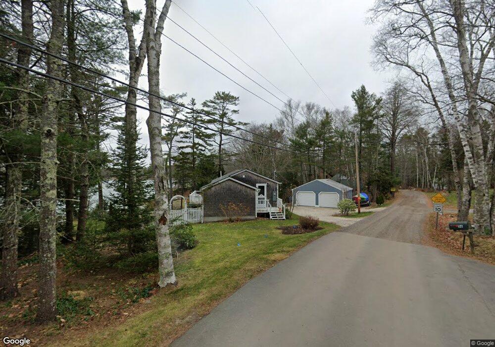
57 Shore Dr Freeport, ME 04032
Estimated Value: $740,000 - $900,000
2
Beds
1
Bath
843
Sq Ft
$1,012/Sq Ft
Est. Value
About This Home
This home is located at 57 Shore Dr, Freeport, ME 04032 and is currently estimated at $853,405, approximately $1,012 per square foot. 57 Shore Dr is a home located in Cumberland County with nearby schools including Morse Street School, Mast Landing School, and Freeport Middle School.
Ownership History
Date
Name
Owned For
Owner Type
Purchase Details
Closed on
May 14, 2025
Sold by
Russell Donald A
Bought by
Russell Donald A and Russell Pamela W
Current Estimated Value
Purchase Details
Closed on
Jan 11, 2024
Sold by
Russell Ellen B
Bought by
Russell Donald A
Create a Home Valuation Report for This Property
The Home Valuation Report is an in-depth analysis detailing your home's value as well as a comparison with similar homes in the area
Home Values in the Area
Average Home Value in this Area
Purchase History
| Date | Buyer | Sale Price | Title Company |
|---|---|---|---|
| Russell Donald A | -- | None Available | |
| Russell Donald A | -- | None Available | |
| Russell Donald A | -- | None Available | |
| Russell Donald A | -- | None Available |
Source: Public Records
Tax History Compared to Growth
Tax History
| Year | Tax Paid | Tax Assessment Tax Assessment Total Assessment is a certain percentage of the fair market value that is determined by local assessors to be the total taxable value of land and additions on the property. | Land | Improvement |
|---|---|---|---|---|
| 2024 | $8,046 | $602,700 | $459,400 | $143,300 |
| 2023 | $7,510 | $546,200 | $417,700 | $128,500 |
| 2022 | $6,844 | $501,400 | $372,900 | $128,500 |
| 2021 | $6,694 | $501,400 | $372,900 | $128,500 |
| 2020 | $6,493 | $463,800 | $345,300 | $118,500 |
| 2019 | $6,233 | $435,900 | $325,700 | $110,200 |
| 2018 | $5,418 | $360,000 | $281,300 | $78,700 |
| 2017 | $4,895 | $327,400 | $263,600 | $63,800 |
| 2016 | $4,666 | $295,300 | $236,500 | $58,800 |
| 2015 | $4,689 | $279,100 | $223,000 | $56,100 |
| 2014 | $4,410 | $279,100 | $223,000 | $56,100 |
| 2013 | $4,143 | $261,400 | $206,500 | $54,900 |
Source: Public Records
Map
Nearby Homes
- 71 Merganser Way
- 83 Central Ave
- 34 Newfield Rd
- 46 Blackstone Club Rd
- 26 Harvest Ridge Rd Unit 24
- 1612 U S Route 1
- 11 Orchard Hill Rd
- 212 Main St
- 15 Tinkers Way
- 853 Mere Point Rd
- 15 Percy St
- Map 80 Lot 18-0 White Island
- 10 Durham Rd
- 42 Durham Rd
- 1260 Us Route 1
- Lot 129 Harpswell Neck Rd
- 0 Prout Rd
- 41 Spruce Brook Dr
- 1 Mallard Pond Rd
- 0 Gundalo Gap Rd Unit 1638108