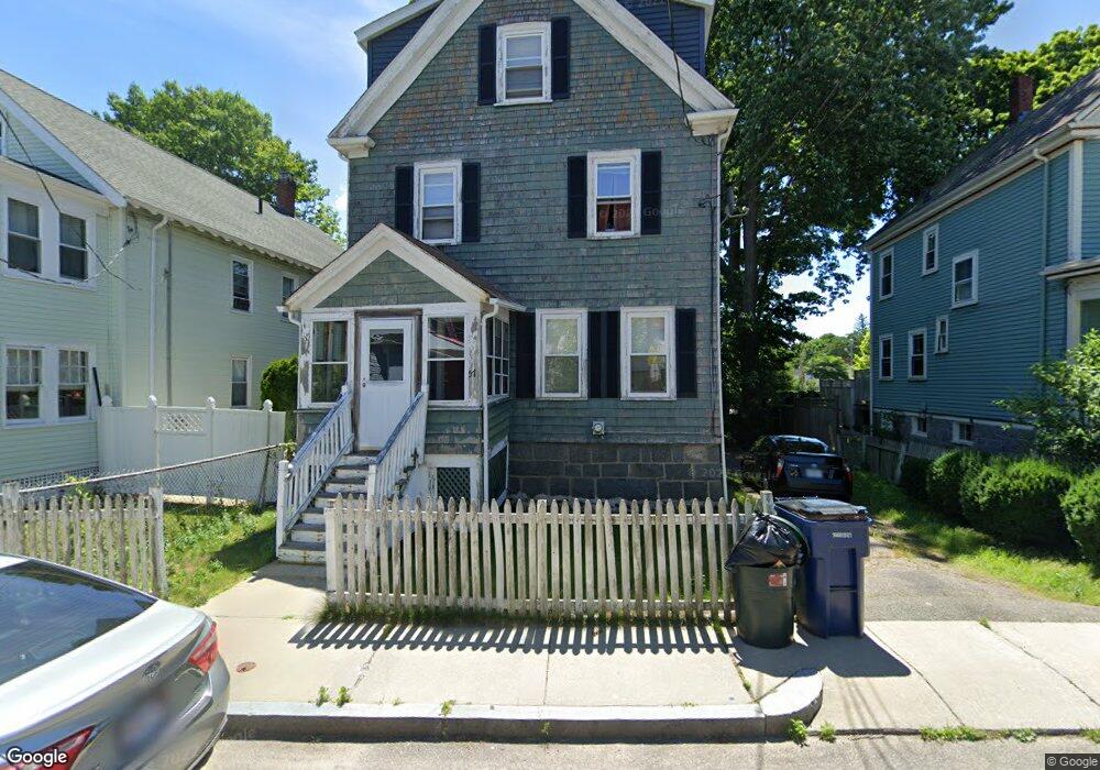
57 Sycamore St Roslindale, MA 02131
Roslindale NeighborhoodEstimated Value: $794,000 - $1,035,000
5
Beds
2
Baths
1,841
Sq Ft
$475/Sq Ft
Est. Value
About This Home
This home is located at 57 Sycamore St, Roslindale, MA 02131 and is currently estimated at $875,213, approximately $475 per square foot. 57 Sycamore St is a home located in Suffolk County with nearby schools including Brooke Charter School Roslindale, Sacred Heart STEM School, and St. Clare High School.
Ownership History
Date
Name
Owned For
Owner Type
Purchase Details
Closed on
Apr 26, 2004
Sold by
Turner Carl
Bought by
Pierre-Louis Gocene
Current Estimated Value
Purchase Details
Closed on
Oct 23, 2000
Sold by
Turner Carl and Turner Sandra E W
Bought by
Turner Carl
Purchase Details
Closed on
Jul 27, 1994
Sold by
Minahan Joseph M and Minahan Maureen
Bought by
Turner Carl and Turner Sandra E
Create a Home Valuation Report for This Property
The Home Valuation Report is an in-depth analysis detailing your home's value as well as a comparison with similar homes in the area
Home Values in the Area
Average Home Value in this Area
Purchase History
| Date | Buyer | Sale Price | Title Company |
|---|---|---|---|
| Pierre-Louis Gocene | $369,000 | -- | |
| Turner Carl | $30,000 | -- | |
| Turner Carl | $112,500 | -- |
Source: Public Records
Mortgage History
| Date | Status | Borrower | Loan Amount |
|---|---|---|---|
| Previous Owner | Turner Carl | $224,000 | |
| Previous Owner | Turner Carl | $220,000 |
Source: Public Records
Tax History Compared to Growth
Tax History
| Year | Tax Paid | Tax Assessment Tax Assessment Total Assessment is a certain percentage of the fair market value that is determined by local assessors to be the total taxable value of land and additions on the property. | Land | Improvement |
|---|---|---|---|---|
| 2025 | $7,856 | $678,400 | $236,600 | $441,800 |
| 2024 | $7,172 | $658,000 | $230,600 | $427,400 |
| 2023 | $6,602 | $614,700 | $215,400 | $399,300 |
| 2022 | $6,194 | $569,300 | $199,500 | $369,800 |
| 2021 | $5,656 | $530,100 | $191,800 | $338,300 |
| 2020 | $5,417 | $513,000 | $177,000 | $336,000 |
| 2019 | $5,148 | $488,400 | $138,900 | $349,500 |
| 2018 | $4,873 | $465,000 | $138,900 | $326,100 |
| 2017 | $4,648 | $438,900 | $138,900 | $300,000 |
| 2016 | $4,429 | $402,600 | $138,900 | $263,700 |
| 2015 | $4,459 | $368,200 | $128,200 | $240,000 |
| 2014 | $4,207 | $334,400 | $128,200 | $206,200 |
Source: Public Records
Map
Nearby Homes
- 67 Cummins Hwy Unit 101
- 250 Poplar St Unit 1
- 25 Crandall St
- 108 Florence St Unit 4
- 16 Hilburn Place
- 142 Metropolitan Ave Unit A
- 65 Birch St Unit 3
- 187 Florence St Unit 2L
- 543 Hyde Park Ave Unit 1
- 69 Metropolitan Ave
- 80 Roslindale Ave Unit 3
- 55 Metropolitan Ave
- 142 Birch St
- 142 Birch St Unit 1
- 142 Birch St Unit 2
- 15 S Fairview St Unit 3
- 112 Roslindale Ave Unit 2
- 415 Poplar St
- 32 Jewett St
- 417 Poplar St
- 53 Sycamore St
- 59 Sycamore St Unit 61
- 59 Sycamore St Unit 1
- 49 Sycamore St
- 40 Hawthorne St
- 67 Sycamore St Unit 69
- 67 Sycamore St Unit 2
- 67 Sycamore St Unit 1
- 38 Hawthorne St
- 62 Sycamore St
- 66 Sycamore St
- 36 Hawthorne St
- 75 Sycamore St
- 43 Sycamore St
- 47 Hawthorne St
- 34 Hawthorne St
- 57 Hawthorne St
- 72 Sycamore St
- 46 Sycamore St
- 45 Hawthorne St