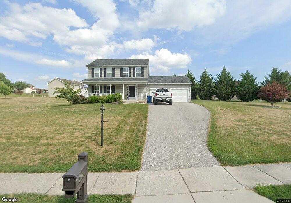
57 Wheat Dr Abbottstown, PA 17301
Estimated Value: $305,000 - $361,000
3
Beds
2
Baths
1,525
Sq Ft
$218/Sq Ft
Est. Value
About This Home
This home is located at 57 Wheat Dr, Abbottstown, PA 17301 and is currently estimated at $332,980, approximately $218 per square foot. 57 Wheat Dr is a home located in York County with nearby schools including Spring Grove Area Middle School, Spring Grove Area High School, and Paradise School.
Ownership History
Date
Name
Owned For
Owner Type
Purchase Details
Closed on
May 25, 2011
Sold by
Tg Meadows Lp
Bought by
Basehoar Christopher W and Basehoar Andrea N
Current Estimated Value
Home Financials for this Owner
Home Financials are based on the most recent Mortgage that was taken out on this home.
Original Mortgage
$183,905
Outstanding Balance
$126,978
Interest Rate
4.74%
Mortgage Type
FHA
Estimated Equity
$206,002
Create a Home Valuation Report for This Property
The Home Valuation Report is an in-depth analysis detailing your home's value as well as a comparison with similar homes in the area
Home Values in the Area
Average Home Value in this Area
Purchase History
| Date | Buyer | Sale Price | Title Company |
|---|---|---|---|
| Basehoar Christopher W | $188,690 | None Available |
Source: Public Records
Mortgage History
| Date | Status | Borrower | Loan Amount |
|---|---|---|---|
| Open | Basehoar Christopher W | $183,905 |
Source: Public Records
Tax History Compared to Growth
Tax History
| Year | Tax Paid | Tax Assessment Tax Assessment Total Assessment is a certain percentage of the fair market value that is determined by local assessors to be the total taxable value of land and additions on the property. | Land | Improvement |
|---|---|---|---|---|
| 2025 | $5,960 | $178,690 | $50,040 | $128,650 |
| 2024 | $5,895 | $178,690 | $50,040 | $128,650 |
| 2023 | $5,895 | $178,690 | $50,040 | $128,650 |
| 2022 | $5,895 | $178,690 | $50,040 | $128,650 |
| 2021 | $5,641 | $178,690 | $50,040 | $128,650 |
| 2020 | $5,623 | $178,690 | $50,040 | $128,650 |
| 2019 | $5,502 | $178,690 | $50,040 | $128,650 |
| 2018 | $5,428 | $178,690 | $50,040 | $128,650 |
| 2017 | $5,302 | $178,690 | $50,040 | $128,650 |
| 2016 | $0 | $177,290 | $50,040 | $127,250 |
| 2015 | -- | $177,290 | $50,040 | $127,250 |
| 2014 | -- | $177,290 | $50,040 | $127,250 |
Source: Public Records
Map
Nearby Homes
- 7452 Lincoln Hwy
- 7461 Saint Patrick Ct
- 7463 Saint Patrick Ct
- 7459 Saint Patrick Ct
- 7457 Saint Patrick Ct
- 7455 Saint Patrick Ct Unit 28
- 7435 Saint Patrick Ct Unit 6
- 28 Town Cir Unit 12A
- 224 W King St
- 507 Bullet Way
- 484 Brough Rd
- 486 W King St
- 334 Rolling Ln Unit 2
- 60 Hunters Cir Unit 19
- 0 Woods Rd
- 201 Kinneman Rd Unit 25
- 221 Kinneman Rd Unit 28
- 1209 Jackson Square Rd
- 6 Lobell Rd
- 7962 Woodland Dr
- 68 Wheat Dr Unit 50
- 53 Wheat Dr Unit 71
- 53 Wheat Dr
- 65 Wheat Dr Unit 73
- 65 Wheat Dr
- 56 Wheat Dr Unit 45
- 56 Wheat Dr
- 70 Wheat Dr Unit 46
- 70 Wheat Dr
- 69 Wheat Dr
- 69 Wheat Dr Unit 74
- 51 Wheat Dr Unit 70
- 51 Wheat Dr
- 71 Wheat Dr
- 7518 Lincoln Hwy
- 7516 Lincoln Hwy
- 14 Moulstown Rd
- 18 Moulstown Rd
- 68 Wheat Dr
- 22 Moulstown Rd