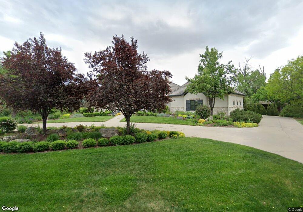
570 Front Range Rd Littleton, CO 80120
Heritage NeighborhoodEstimated Value: $2,012,000 - $2,846,000
4
Beds
7
Baths
4,437
Sq Ft
$562/Sq Ft
Est. Value
About This Home
This home is located at 570 Front Range Rd, Littleton, CO 80120 and is currently estimated at $2,491,752, approximately $561 per square foot. 570 Front Range Rd is a home located in Arapahoe County with nearby schools including Runyon Elementary School, Euclid Middle School, and Heritage High School.
Ownership History
Date
Name
Owned For
Owner Type
Purchase Details
Closed on
Aug 19, 2024
Sold by
Brennan Barry J and Brennan Jane
Bought by
Brennan Barry J and Brennan Jane
Current Estimated Value
Purchase Details
Closed on
Feb 18, 1995
Sold by
Kober Carl L and Kober Christiana
Bought by
Kober Family Ltd Partnership
Purchase Details
Closed on
Jul 4, 1776
Bought by
Conversion Arapco
Create a Home Valuation Report for This Property
The Home Valuation Report is an in-depth analysis detailing your home's value as well as a comparison with similar homes in the area
Home Values in the Area
Average Home Value in this Area
Purchase History
| Date | Buyer | Sale Price | Title Company |
|---|---|---|---|
| Brennan Barry J | -- | None Listed On Document | |
| Kober Family Ltd Partnership | -- | -- | |
| Conversion Arapco | -- | -- |
Source: Public Records
Tax History Compared to Growth
Tax History
| Year | Tax Paid | Tax Assessment Tax Assessment Total Assessment is a certain percentage of the fair market value that is determined by local assessors to be the total taxable value of land and additions on the property. | Land | Improvement |
|---|---|---|---|---|
| 2024 | $17,853 | $181,295 | -- | -- |
| 2023 | $16,695 | $181,295 | $0 | $0 |
| 2022 | $11,091 | $116,197 | $0 | $0 |
| 2021 | $11,061 | $116,197 | $0 | $0 |
| 2020 | $12,438 | $133,562 | $0 | $0 |
| 2019 | $11,701 | $133,562 | $0 | $0 |
| 2018 | $10,321 | $118,505 | $0 | $0 |
| 2017 | $9,563 | $118,505 | $0 | $0 |
| 2016 | $10,756 | $128,061 | $0 | $0 |
| 2015 | $10,783 | $128,061 | $0 | $0 |
| 2014 | -- | $104,865 | $0 | $0 |
| 2013 | -- | $111,480 | $0 | $0 |
Source: Public Records
Map
Nearby Homes
- 7019 S Windermere St
- 1540 W Briarwood Ave
- 1705 W Hinsdale Place
- 7391 S Costilla St
- 7652 S Gallup Ct
- 6664 S Datura St
- 7070 S Lakeview St
- 707 W Easter Ave
- 2443 W Sunset Dr
- 7006 S Elati St
- 7949 S Cedar Cir
- 7964 S Cedar Cir
- 7420 S Houstoun Waring Cir
- 6511 S Cedar St
- 7132 S Bryant St Unit 232
- 2812 W Davies Dr
- 2418 W Euclid Ave
- 6921 S Bryant St
- 891 W Kettle Ave
- 2979 W Rowland Place
- 580 Front Range Rd
- 7109 S Windermere St
- 7097 S Windermere St
- 605 Front Range Rd
- 7117 S Windermere St
- 635 Front Range Rd
- 7087 S Windermere St
- 7127 S Windermere St
- 555 Front Range Rd
- 590 Front Range Rd
- 645 Front Range Rd
- 702 Shadycroft Ln
- 540 Front Range Rd
- 1598 W Meadowbrook Rd
- 520 Front Range Rd
- 802 Shadycroft Ln
- 602 Shadycroft Ln
- 600 Front Range Rd
- 1588 W Meadowbrook Rd
- 655 Front Range Rd