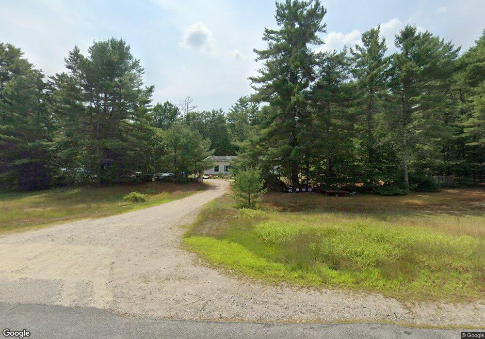
570 Nh Route 25 Effingham, NH 03882
Estimated Value: $355,000 - $386,000
3
Beds
3
Baths
1,730
Sq Ft
$214/Sq Ft
Est. Value
About This Home
This home is located at 570 Nh Route 25, Effingham, NH 03882 and is currently estimated at $370,201, approximately $213 per square foot. 570 Nh Route 25 is a home located in Carroll County with nearby schools including Ossipee Central School, Kingswood Regional Middle School, and Kingswood Regional High School.
Ownership History
Date
Name
Owned For
Owner Type
Purchase Details
Closed on
Apr 11, 2018
Sold by
Galloway Mark J
Bought by
Wright Nanette L
Current Estimated Value
Home Financials for this Owner
Home Financials are based on the most recent Mortgage that was taken out on this home.
Original Mortgage
$137,464
Outstanding Balance
$119,686
Interest Rate
4.99%
Mortgage Type
FHA
Estimated Equity
$250,515
Purchase Details
Closed on
Oct 26, 2017
Sold by
Effingham Town Of
Bought by
Galloway Mark J
Create a Home Valuation Report for This Property
The Home Valuation Report is an in-depth analysis detailing your home's value as well as a comparison with similar homes in the area
Home Values in the Area
Average Home Value in this Area
Purchase History
| Date | Buyer | Sale Price | Title Company |
|---|---|---|---|
| Wright Nanette L | $140,000 | -- | |
| Galloway Mark J | -- | -- |
Source: Public Records
Mortgage History
| Date | Status | Borrower | Loan Amount |
|---|---|---|---|
| Open | Wright Nanette L | $137,464 |
Source: Public Records
Tax History Compared to Growth
Tax History
| Year | Tax Paid | Tax Assessment Tax Assessment Total Assessment is a certain percentage of the fair market value that is determined by local assessors to be the total taxable value of land and additions on the property. | Land | Improvement |
|---|---|---|---|---|
| 2024 | $5,386 | $195,700 | $58,600 | $137,100 |
| 2023 | $4,832 | $195,700 | $58,600 | $137,100 |
| 2022 | $4,613 | $195,700 | $58,600 | $137,100 |
| 2021 | $4,237 | $188,400 | $58,600 | $129,800 |
| 2020 | $4,063 | $188,400 | $58,600 | $129,800 |
| 2019 | $3,960 | $147,200 | $37,600 | $109,600 |
| 2018 | $3,275 | $147,200 | $37,600 | $109,600 |
| 2017 | $3,356 | $147,200 | $37,600 | $109,600 |
| 2016 | $3,356 | $147,200 | $37,600 | $109,600 |
| 2015 | $3,013 | $147,200 | $37,600 | $109,600 |
| 2014 | $3,314 | $163,400 | $45,200 | $118,200 |
| 2013 | $3,134 | $163,400 | $45,200 | $118,200 |
Source: Public Records
Map
Nearby Homes
- Lot 11 Squire Ln
- Lot 10 Squire Ln
- 6 Laurel Rd
- Lot 9 Squire Ln
- 33 Blueberry Rd
- 2 Quail Rd
- 10 Spur Rd
- 520 Green Mountain Rd
- 15 Morris Ave
- 126 Leavitt Rd
- 45 Morris Ave
- 16 Channel Rd
- 118 Washington Rd Unit 55
- Lot 1 Parsons Rd
- Lot 3 Parsons Rd
- Lots 0-4 Parsons Rd
- Lot 2 Parsons Rd
- Lot 4 Parsons Rd
- Lot 8 Friedman Ln
- 5-11 Friedman Ln
- 570 Nh Route 25
- 550 Route 25 E
- 21 Blueberry Rd
- 19 Blueberry Rd
- 00 New Hampshire 25
- 514 New Hampshire 25
- 485 New Hampshire 25
- 23 Blueberry Rd
- 530 Route 25 E
- 61 Blueberry Rd
- 3 Norway Rd
- 22 Blueberry Rd
- 13 Blueberry Rd
- 3 Laurel Rd
- 2 Norway Rd
- 525 Route 25 Hwy
- 28 Blueberry Rd
- 10 Blueberry Rd
- 4 Norway Rd
- 4 Laurel Rd