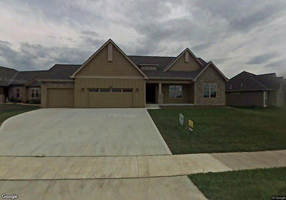
5705 Plymouth Dr Lawrence, KS 66049
West Lawrence NeighborhoodEstimated Value: $534,100 - $562,000
3
Beds
2
Baths
2,146
Sq Ft
$253/Sq Ft
Est. Value
About This Home
This home is located at 5705 Plymouth Dr, Lawrence, KS 66049 and is currently estimated at $543,025, approximately $253 per square foot. 5705 Plymouth Dr is a home located in Douglas County with nearby schools including Langston Hughes Elementary School, Southwest Middle School, and Lawrence Free State High School.
Ownership History
Date
Name
Owned For
Owner Type
Purchase Details
Closed on
Nov 15, 2007
Sold by
R & H Builders Inc
Bought by
Halverson Jonathan D and Miller Marilyn S
Current Estimated Value
Home Financials for this Owner
Home Financials are based on the most recent Mortgage that was taken out on this home.
Original Mortgage
$280,560
Outstanding Balance
$177,513
Interest Rate
6.38%
Mortgage Type
Purchase Money Mortgage
Estimated Equity
$365,512
Create a Home Valuation Report for This Property
The Home Valuation Report is an in-depth analysis detailing your home's value as well as a comparison with similar homes in the area
Home Values in the Area
Average Home Value in this Area
Purchase History
| Date | Buyer | Sale Price | Title Company |
|---|---|---|---|
| Halverson Jonathan D | -- | Commerce Title |
Source: Public Records
Mortgage History
| Date | Status | Borrower | Loan Amount |
|---|---|---|---|
| Open | Halverson Jonathan D | $280,560 |
Source: Public Records
Tax History Compared to Growth
Tax History
| Year | Tax Paid | Tax Assessment Tax Assessment Total Assessment is a certain percentage of the fair market value that is determined by local assessors to be the total taxable value of land and additions on the property. | Land | Improvement |
|---|---|---|---|---|
| 2025 | $7,233 | $59,628 | $9,200 | $50,428 |
| 2024 | $7,233 | $57,719 | $7,475 | $50,244 |
| 2023 | $6,956 | $53,786 | $7,475 | $46,311 |
| 2022 | $6,698 | $51,440 | $7,475 | $43,965 |
| 2021 | $6,070 | $45,287 | $6,334 | $38,953 |
| 2020 | $5,949 | $44,618 | $6,334 | $38,284 |
| 2019 | $5,658 | $42,492 | $6,334 | $36,158 |
| 2018 | $5,649 | $42,113 | $6,334 | $35,779 |
| 2017 | $5,537 | $40,825 | $6,334 | $34,491 |
| 2016 | $5,232 | $40,296 | $5,753 | $34,543 |
| 2015 | $5,505 | $42,377 | $5,753 | $36,624 |
| 2014 | $5,085 | $39,548 | $5,753 | $33,795 |
Source: Public Records
Map
Nearby Homes
- 1007 New Boston Ct
- 1040 Stonecreek Dr
- 1040 Stone Creek Dr
- 1017 Stoneridge Dr
- 1107 Brynwood Ct
- 1203 Kanza Dr
- 1135 Brynwood Ct
- 1216 Waverly Dr
- 1008 Drum Dr
- 5714 Silverstone Dr
- 5912 Longleaf Dr
- 917 Summerfield Place
- 5204 Foxchase Dr
- 5204 Fox Chase Dr
- 1347 Kanza Dr
- 5734 Longleaf Dr
- Sutton Plan at Cedar Grove
- Scorpio Plan at Cedar Grove
- Porter Plan at Cedar Grove
- Nadia Plan at Cedar Grove
- 5619 Plymouth Dr
- 5711 Plymouth Dr
- 5615 Plymouth Dr
- 5708 Plymouth Dr
- 1003 New Boston Ct
- 5609 Plymouth Dr
- 5712 Plymouth Dr
- 5716 Plymouth Dr
- 5620 Plymouth Dr
- 5704 Robinson Dr
- 5709 Robinson Dr
- 5720 Plymouth Dr
- 5616 Plymouth Dr
- 1004 New Boston Ct
- 908 Robinson Ct
- 5612 Plymouth Dr
- 5708 Robinson Dr
- 1103 Sawhill Dr
- 5717 Robinson Dr
- 1102 Kanza Dr