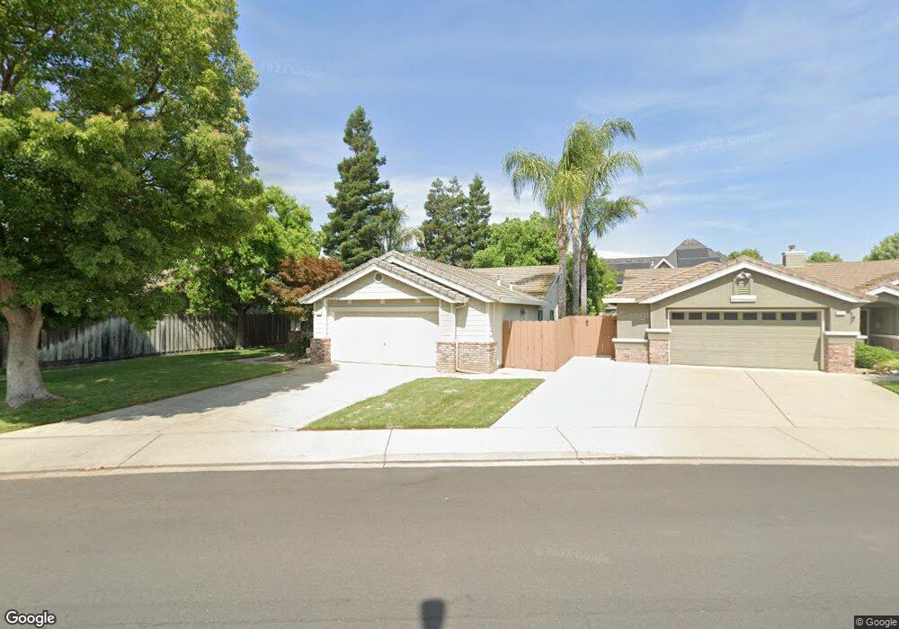
571 View Point Ave Oakdale, CA 95361
Estimated Value: $326,000 - $513,000
4
Beds
2
Baths
1,619
Sq Ft
$287/Sq Ft
Est. Value
About This Home
This home is located at 571 View Point Ave, Oakdale, CA 95361 and is currently estimated at $463,942, approximately $286 per square foot. 571 View Point Ave is a home located in Stanislaus County with nearby schools including Sierra View Elementary School, Oakdale Junior High School, and Oakdale High School.
Ownership History
Date
Name
Owned For
Owner Type
Purchase Details
Closed on
Sep 23, 2008
Sold by
Urban Vincent E
Bought by
Urban Vincent Edward and Vincent Edward Urban Jr Living
Current Estimated Value
Purchase Details
Closed on
Jul 8, 2008
Sold by
Leitner Barry D and Leitner Cindi A
Bought by
Urban Vincent E
Purchase Details
Closed on
Aug 26, 1996
Sold by
Oakmont Partners At Sierra Hills Lp
Bought by
Leitner Barry D and Leitner Cindi A
Home Financials for this Owner
Home Financials are based on the most recent Mortgage that was taken out on this home.
Original Mortgage
$129,499
Interest Rate
8.23%
Mortgage Type
FHA
Create a Home Valuation Report for This Property
The Home Valuation Report is an in-depth analysis detailing your home's value as well as a comparison with similar homes in the area
Home Values in the Area
Average Home Value in this Area
Purchase History
| Date | Buyer | Sale Price | Title Company |
|---|---|---|---|
| Urban Vincent Edward | -- | None Available | |
| Urban Vincent E | $290,000 | Chicago Title Company | |
| Leitner Barry D | $131,000 | First American Title Co |
Source: Public Records
Mortgage History
| Date | Status | Borrower | Loan Amount |
|---|---|---|---|
| Previous Owner | Leitner Barry D | $129,499 |
Source: Public Records
Tax History Compared to Growth
Tax History
| Year | Tax Paid | Tax Assessment Tax Assessment Total Assessment is a certain percentage of the fair market value that is determined by local assessors to be the total taxable value of land and additions on the property. | Land | Improvement |
|---|---|---|---|---|
| 2025 | $4,168 | $373,436 | $64,380 | $309,056 |
| 2024 | $3,953 | $366,115 | $63,118 | $302,997 |
| 2023 | $3,869 | $358,937 | $61,881 | $297,056 |
| 2022 | $3,803 | $351,900 | $60,668 | $291,232 |
| 2021 | $3,741 | $345,001 | $59,479 | $285,522 |
| 2020 | $3,699 | $341,465 | $58,870 | $282,595 |
| 2019 | $3,643 | $334,770 | $57,716 | $277,054 |
| 2018 | $3,593 | $328,207 | $56,585 | $271,622 |
| 2017 | $3,531 | $321,773 | $55,476 | $266,297 |
| 2016 | $3,392 | $315,465 | $54,389 | $261,076 |
| 2015 | $3,186 | $296,000 | $88,000 | $208,000 |
| 2014 | $2,919 | $269,000 | $80,000 | $189,000 |
Source: Public Records
Map
Nearby Homes
- 1462 Tumbleweed Ct
- 672 Pedersen Rd
- 696 Pedersen Rd
- 1485 Jubal Ct
- 350 Shalako Dr
- 527 Arbor Ct
- 410 Arboles Way
- 105 Little Johns Creek Dr
- 109 Little Johns Creek Dr
- 1708 Bandon Ct
- 1011 Post Rd
- 129 Little Johns Creek Dr
- 157 Little Johns Creek Dr
- 0 Post Rd Unit 225116478
- 925 Townhill Rd
- 1362 E F St
- 927 E F St Unit 5
- 880 E F St Unit A
- 941 E E St
- 228 Reardon St
- 579 View Point Ave
- 563 View Point Ave
- 1425 Ranch House Ct
- 556 Murdoch Ct
- 587 View Point Ave
- 555 View Point Ave
- 1437 Ranch House Ct
- 536 Murdoch Ct
- 576 View Point Ave
- 576 Murdoch Ct
- 568 View Point Ave
- 582 View Point Ave
- 595 View Point Ave
- 1449 Ranch House Ct
- 562 View Point Ave
- 596 Murdoch Ct
- 588 View Point Ave
- 554 View Point Ave
- 531 Murdoch Ct
- 1461 Ranch House Ct