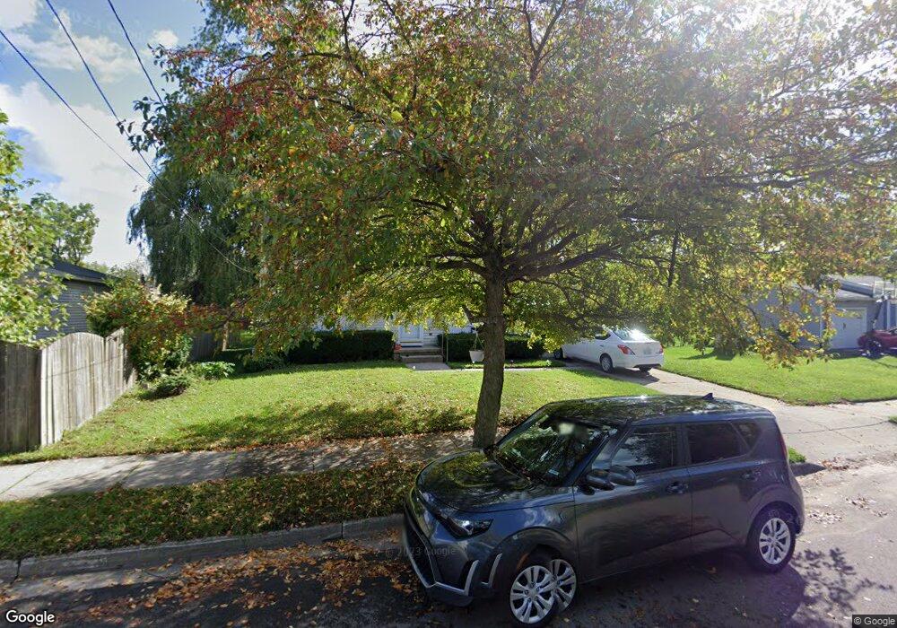
5711 Picardy St Lansing, MI 48911
Southern Lansing NeighborhoodEstimated Value: $118,029 - $134,000
2
Beds
1
Bath
768
Sq Ft
$162/Sq Ft
Est. Value
About This Home
This home is located at 5711 Picardy St, Lansing, MI 48911 and is currently estimated at $124,507, approximately $162 per square foot. 5711 Picardy St is a home located in Ingham County with nearby schools including Reo Elementary School, Attwood School, and Everett High School.
Ownership History
Date
Name
Owned For
Owner Type
Purchase Details
Closed on
Oct 1, 2024
Sold by
Down Evan and Down Mary
Bought by
Kmr 2024 Investment Properties Llc
Current Estimated Value
Purchase Details
Closed on
Jun 20, 2023
Sold by
Down Evan J and Down Mary
Bought by
Down Mary and Down Evan
Purchase Details
Closed on
May 20, 2010
Sold by
Norwood Joyce A
Bought by
Federal Home Loan Mortgage Corp
Create a Home Valuation Report for This Property
The Home Valuation Report is an in-depth analysis detailing your home's value as well as a comparison with similar homes in the area
Home Values in the Area
Average Home Value in this Area
Purchase History
| Date | Buyer | Sale Price | Title Company |
|---|---|---|---|
| Kmr 2024 Investment Properties Llc | -- | Red Cedar Title Agency Llc | |
| Down Mary | -- | None Listed On Document | |
| Federal Home Loan Mortgage Corp | $107,926 | None Available |
Source: Public Records
Tax History Compared to Growth
Tax History
| Year | Tax Paid | Tax Assessment Tax Assessment Total Assessment is a certain percentage of the fair market value that is determined by local assessors to be the total taxable value of land and additions on the property. | Land | Improvement |
|---|---|---|---|---|
| 2025 | $2,440 | $55,900 | $8,900 | $47,000 |
| 2024 | $20 | $45,800 | $8,900 | $36,900 |
| 2023 | $2,297 | $40,000 | $8,900 | $31,100 |
| 2022 | $2,099 | $34,400 | $6,200 | $28,200 |
| 2021 | $2,050 | $33,700 | $6,200 | $27,500 |
| 2020 | $2,036 | $31,000 | $6,200 | $24,800 |
| 2019 | $1,966 | $27,900 | $6,200 | $21,700 |
| 2018 | $1,865 | $24,900 | $6,200 | $18,700 |
| 2017 | $1,794 | $24,900 | $6,200 | $18,700 |
| 2016 | $1,749 | $23,800 | $6,200 | $17,600 |
| 2015 | $1,749 | $23,000 | $12,401 | $10,599 |
| 2014 | $1,749 | $23,000 | $19,290 | $3,710 |
Source: Public Records
Map
Nearby Homes
- 6030 Piper Ave
- 2045 Moffitt St
- 2923 Newark Ave
- 5838 S Martin Luther King Junior Blvd
- 2416 Midwood St
- 0 Midwood St
- 4828 Ingham St
- 5750 Ashley Dr
- 6037 Hughes Rd
- 4809 Ballard Rd
- 5100 Wexford Rd
- 4628 Pleasant Grove Rd
- 3814 Coachlight Common St
- 4916 Tressa Dr
- 5424 S Waverly Rd
- 4620 Christiansen Rd
- 1020 R G Curtiss Ave
- 1014 W Northrup St
- 5830 Granary Ln
- 6050 S Waverly Rd
- 5719 Picardy St
- 2427 Pollard Rd
- 2433 Pollard Rd
- 2421 Pollard Rd
- 2420 Radford Rd
- 2432 Radford Rd
- 2426 Radford Rd
- 5708 Picardy St
- 5712 Picardy St
- 2416 Radford Rd
- 2413 Pollard Rd
- 5704 Picardy St
- 5718 Picardy St
- 2422 Pollard Rd
- 2410 Radford Rd
- 2428 Pollard Rd
- 5621 Picardy St
- 5728 Picardy St
- 2418 Pollard Rd
- 5622 Picardy St