5721 Highway 212 Glencoe, MN 55336
Estimated Value: $518,000 - $1,056,885
4
Beds
2
Baths
2,622
Sq Ft
$321/Sq Ft
Est. Value
About This Home
This home is located at 5721 Highway 212, Glencoe, MN 55336 and is currently estimated at $840,962, approximately $320 per square foot. 5721 Highway 212 is a home located in McLeod County with nearby schools including Lincoln Elementary School, Lakeside Elementary School, and Glencoe-Silver Lake Jr. High School.
Ownership History
Date
Name
Owned For
Owner Type
Purchase Details
Closed on
Dec 9, 2021
Sold by
Goff Wayne E and Graham Cynthia L
Bought by
Anderson Max and Anderson John
Current Estimated Value
Home Financials for this Owner
Home Financials are based on the most recent Mortgage that was taken out on this home.
Original Mortgage
$343,920
Outstanding Balance
$316,443
Interest Rate
3.14%
Mortgage Type
New Conventional
Estimated Equity
$524,519
Purchase Details
Closed on
Mar 11, 2021
Sold by
Goff Wayne E and Graham Cynthia L
Bought by
Goff Wayne E and Graham Cynthia L
Home Financials for this Owner
Home Financials are based on the most recent Mortgage that was taken out on this home.
Original Mortgage
$525,000
Interest Rate
2.45%
Mortgage Type
Reverse Mortgage Home Equity Conversion Mortgage
Create a Home Valuation Report for This Property
The Home Valuation Report is an in-depth analysis detailing your home's value as well as a comparison with similar homes in the area
Home Values in the Area
Average Home Value in this Area
Purchase History
| Date | Buyer | Sale Price | Title Company |
|---|---|---|---|
| Anderson Max | $876,800 | Title Mark | |
| Goff Wayne E | -- | None Available |
Source: Public Records
Mortgage History
| Date | Status | Borrower | Loan Amount |
|---|---|---|---|
| Open | Anderson Max | $343,920 | |
| Previous Owner | Goff Wayne E | $525,000 |
Source: Public Records
Tax History Compared to Growth
Tax History
| Year | Tax Paid | Tax Assessment Tax Assessment Total Assessment is a certain percentage of the fair market value that is determined by local assessors to be the total taxable value of land and additions on the property. | Land | Improvement |
|---|---|---|---|---|
| 2024 | $4,326 | $510,200 | $225,800 | $284,400 |
| 2023 | $4,302 | $510,200 | $225,800 | $284,400 |
| 2022 | $3,014 | $416,200 | $174,400 | $241,800 |
| 2021 | $2,798 | $295,800 | $100,700 | $195,100 |
| 2020 | $2,502 | $278,600 | $94,600 | $184,000 |
| 2019 | $2,212 | $244,900 | $86,400 | $158,500 |
| 2018 | $2,178 | $0 | $0 | $0 |
| 2017 | $1,928 | $0 | $0 | $0 |
| 2016 | $1,878 | $0 | $0 | $0 |
| 2015 | $1,642 | $0 | $0 | $0 |
| 2014 | -- | $0 | $0 | $0 |
Source: Public Records
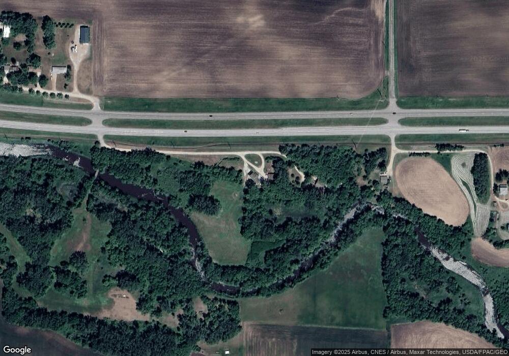
Map
Nearby Homes
- 1423 Prairie Ave
- 1423 Prairie Ave N
- 1527 Ranger Dr N
- 1523 Ranger Dr N
- 1512 Ranger Dr N
- 1519 Ranger Dr N
- 1412 Elsie Dr N
- 1515 Ranger Dr N
- 2106 9th St E
- 1309 Sunrise Dr
- 206 Fairway Cir
- 1709 14th St E
- 1801 Pryor Ave N
- 1421 14th St E
- 2600 14th St E
- 1706 Mcleod Ave N
- 1607 Mcleod Ave N
- 1305 18th St E
- 400 Edgewood Dr
- 1610 Knight Ave N
- 5713 Highway 212
- 5509 Highway 212
- 5842 Dove Ave
- 5714 100th St
- 5874 Dove Ave
- 5507 Highway 212
- 5906 Dove Ave
- 5918 Dove Ave
- 10782 Diamond Ave
- 10782 Diamond Ave
- 10782 Diamond Ave
- 6082 Highway 212
- 6082 Highway 212
- 6082 Highway 212
- 6082 Highway 212
- 5516 100th St
- 5839 100th St
- 5839 100th St
- 6278 Highway 212
- 6131 100th St