5721 Nesbit Rd Waxhaw, NC 28173
Estimated Value: $339,000 - $467,000
3
Beds
2
Baths
1,285
Sq Ft
$304/Sq Ft
Est. Value
About This Home
This home is located at 5721 Nesbit Rd, Waxhaw, NC 28173 and is currently estimated at $390,148, approximately $303 per square foot. 5721 Nesbit Rd is a home located in Union County with nearby schools including Prospect Elementary School, Parkwood Middle School, and Parkwood High School.
Ownership History
Date
Name
Owned For
Owner Type
Purchase Details
Closed on
Mar 18, 2013
Sold by
Meeker Builders Inc
Bought by
Allen Philip R and Pinkston Angela M
Current Estimated Value
Purchase Details
Closed on
Jul 2, 2012
Sold by
Meeker Builders Inc
Bought by
Allen Philip R and Pinkston Angela M
Home Financials for this Owner
Home Financials are based on the most recent Mortgage that was taken out on this home.
Original Mortgage
$128,081
Interest Rate
3.83%
Mortgage Type
New Conventional
Create a Home Valuation Report for This Property
The Home Valuation Report is an in-depth analysis detailing your home's value as well as a comparison with similar homes in the area
Home Values in the Area
Average Home Value in this Area
Purchase History
| Date | Buyer | Sale Price | Title Company |
|---|---|---|---|
| Allen Philip R | -- | None Available | |
| Allen Philip R | $126,000 | None Available |
Source: Public Records
Mortgage History
| Date | Status | Borrower | Loan Amount |
|---|---|---|---|
| Previous Owner | Allen Philip R | $128,081 |
Source: Public Records
Tax History Compared to Growth
Tax History
| Year | Tax Paid | Tax Assessment Tax Assessment Total Assessment is a certain percentage of the fair market value that is determined by local assessors to be the total taxable value of land and additions on the property. | Land | Improvement |
|---|---|---|---|---|
| 2024 | $1,901 | $297,800 | $30,000 | $267,800 |
| 2023 | $1,346 | $214,400 | $30,000 | $184,400 |
| 2022 | $1,346 | $214,400 | $30,000 | $184,400 |
| 2021 | $1,322 | $214,400 | $30,000 | $184,400 |
| 2020 | $1,139 | $142,230 | $21,030 | $121,200 |
| 2019 | $1,139 | $142,230 | $21,030 | $121,200 |
| 2018 | $0 | $142,230 | $21,030 | $121,200 |
| 2017 | $1,211 | $142,200 | $21,000 | $121,200 |
| 2016 | $1,152 | $142,230 | $21,030 | $121,200 |
| 2015 | $1,168 | $142,230 | $21,030 | $121,200 |
| 2014 | $593 | $158,130 | $38,200 | $119,930 |
Source: Public Records
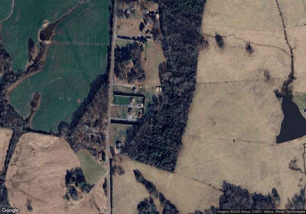
Map
Nearby Homes
- 5904 Nesbit Rd
- 5313 Old Highway Rd
- 5714 Tipton Rd
- 5624 Tipton Rd
- 5630 Tipton Rd
- 6419 Lancaster Hwy Unit 9, 19
- 6118 S Rocky River Rd
- 5101 Garden Gate Dr
- 5106 Pond Bluff Dr
- 106 Serenity Creek Dr
- 110 Serenity Creek Dr
- 6402 S Rocky River Rd
- 5105 Tom Starnes Rd
- 4805 Nesbit Rd
- 3315 Tom Starnes Rd
- 7517 Lancaster Hwy Unit 5
- 7517 Lancaster Hwy
- 2407 Ruben Rd
- Roanoke Plan at Lancaster Hwy
- Charleston Plan at Lancaster Hwy
- 5715 Nesbit Rd
- 5719 Nesbit Rd
- 5713 Nesbit Rd
- 5629 Nesbit Rd
- 5605 Nesbit Rd
- 5707 Nesbit Rd
- 5707 Nesbit Rd
- 5801 Nesbit Rd
- 5722 Nesbit Rd
- 5802 Nesbit Rd
- 5724 Nesbit Rd
- 5814 Nesbit Rd
- TBD Nesbit Rd
- 0000 Nesbit Rd
- 000 Nesbit Rd
- 5621 Nesbit Rd
- 5615 Nesbit Rd
- 5914 Nesbit Rd
- 3115 Little Tom Starnes Rd
- 5524 Nesbit Rd