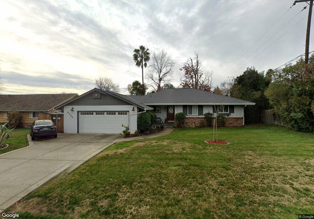
5722 Robertson Ave Carmichael, CA 95608
Carmichael Town Center NeighborhoodEstimated Value: $504,970 - $512,000
3
Beds
2
Baths
1,577
Sq Ft
$322/Sq Ft
Est. Value
About This Home
This home is located at 5722 Robertson Ave, Carmichael, CA 95608 and is currently estimated at $508,493, approximately $322 per square foot. 5722 Robertson Ave is a home located in Sacramento County with nearby schools including Mary Deterding Elementary School, John Barrett Middle School, and Del Campo High School.
Ownership History
Date
Name
Owned For
Owner Type
Purchase Details
Closed on
May 20, 2003
Sold by
Angle John and Angle Sabrina
Bought by
Billingsley Michael W and Billingsley Sarah E
Current Estimated Value
Home Financials for this Owner
Home Financials are based on the most recent Mortgage that was taken out on this home.
Original Mortgage
$207,900
Outstanding Balance
$90,226
Interest Rate
5.77%
Mortgage Type
Purchase Money Mortgage
Estimated Equity
$418,267
Purchase Details
Closed on
Sep 30, 1997
Sold by
Sims Sabrina R and Sims Sabrina
Bought by
Angle John and Angle Sabrina
Home Financials for this Owner
Home Financials are based on the most recent Mortgage that was taken out on this home.
Original Mortgage
$122,000
Interest Rate
7.44%
Create a Home Valuation Report for This Property
The Home Valuation Report is an in-depth analysis detailing your home's value as well as a comparison with similar homes in the area
Home Values in the Area
Average Home Value in this Area
Purchase History
| Date | Buyer | Sale Price | Title Company |
|---|---|---|---|
| Billingsley Michael W | $260,000 | First American Title Co | |
| Angle John | -- | Sacramento Title Company |
Source: Public Records
Mortgage History
| Date | Status | Borrower | Loan Amount |
|---|---|---|---|
| Open | Billingsley Michael W | $207,900 | |
| Previous Owner | Angle John | $122,000 | |
| Closed | Billingsley Michael W | $39,000 |
Source: Public Records
Tax History
| Year | Tax Paid | Tax Assessment Tax Assessment Total Assessment is a certain percentage of the fair market value that is determined by local assessors to be the total taxable value of land and additions on the property. | Land | Improvement |
|---|---|---|---|---|
| 2025 | $4,466 | $376,545 | $86,889 | $289,656 |
| 2024 | $4,466 | $369,163 | $85,186 | $283,977 |
| 2023 | $4,395 | $361,925 | $83,516 | $278,409 |
| 2022 | $4,308 | $354,829 | $81,879 | $272,950 |
| 2021 | $4,236 | $347,873 | $80,274 | $267,599 |
| 2020 | $4,157 | $344,307 | $79,451 | $264,856 |
| 2019 | $4,074 | $337,557 | $77,894 | $259,663 |
| 2018 | $4,022 | $330,939 | $76,367 | $254,572 |
| 2017 | $3,987 | $324,451 | $74,870 | $249,581 |
| 2016 | $3,552 | $303,276 | $69,984 | $233,292 |
| 2015 | $3,239 | $273,222 | $63,049 | $210,173 |
| 2014 | $3,084 | $260,212 | $60,047 | $200,165 |
Source: Public Records
Map
Nearby Homes
- 3125 Colorado St
- 3252 Panama Ave
- 2940 Garfield Ave
- 6016 Homesweet Way
- 3244 Panama Ave
- 2905 Garfield Ave
- 5354 Angelina Ave
- 6129 Merry Ln
- 2855 La Colina Way
- 2821 Scandia Way
- 5530 Kenneth Ave
- 3312 Jayanne Way
- 3332 Jayanne Way
- 7032 Fair Oaks Blvd Unit 5
- 7032 Fair Oaks Blvd Unit 1
- 2804 California Ave
- 2546 El Vita Way
- 6130 Sizemore Ln
- 2965 Marco Way
- 5500 Whitfield Way
- 5732 Robertson Ave
- 5710 Robertson Ave
- 3009 Stanton Cir
- 3005 Stanton Cir
- 5725 Robertson Ave
- 3013 Stanton Cir
- 3092 Stanton Cir
- 5723 Robertson Ave
- 3001 Stanton Cir
- 5717 Robertson Ave
- 3017 Stanton Cir
- 5737 Robertson Ave
- 5701 Robertson Ave
- 3100 Colorado St
- 3000 Stanton Cir
- 3021 Stanton Cir
- 3008 Stanton Cir
- 3004 Stanton Cir
- 5660 Robertson Ave
- 3012 Stanton Cir
Your Personal Tour Guide
Ask me questions while you tour the home.