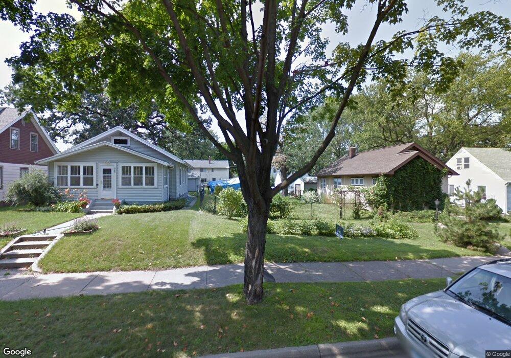
573 Eustis St Saint Paul, MN 55104
Union Park NeighborhoodEstimated Value: $653,000 - $857,000
4
Beds
4
Baths
3,160
Sq Ft
$241/Sq Ft
Est. Value
About This Home
This home is located at 573 Eustis St, Saint Paul, MN 55104 and is currently estimated at $761,611, approximately $241 per square foot. 573 Eustis St is a home located in Ramsey County with nearby schools including Groveland Park Elementary School, Hidden River Middle School, and Central Senior High School.
Ownership History
Date
Name
Owned For
Owner Type
Purchase Details
Closed on
Mar 23, 2021
Sold by
B Cubed Llc
Bought by
Nordstrom Andrew and Nordstrom Edra
Current Estimated Value
Home Financials for this Owner
Home Financials are based on the most recent Mortgage that was taken out on this home.
Original Mortgage
$507,800
Outstanding Balance
$455,438
Interest Rate
2.73%
Mortgage Type
New Conventional
Estimated Equity
$306,173
Purchase Details
Closed on
Jul 27, 2020
Sold by
Hovda David J and Hovda Jayne A
Bought by
B Cubed Llc
Purchase Details
Closed on
Feb 2, 2018
Sold by
Malone Povoiny Thomas and Malone Povoiny Sheila
Bought by
Hovda David J
Purchase Details
Closed on
Apr 27, 2017
Sold by
Linnell Kelly C and Zierman Kris Alison
Bought by
Malone Povolny Thomas
Create a Home Valuation Report for This Property
The Home Valuation Report is an in-depth analysis detailing your home's value as well as a comparison with similar homes in the area
Home Values in the Area
Average Home Value in this Area
Purchase History
| Date | Buyer | Sale Price | Title Company |
|---|---|---|---|
| Nordstrom Andrew | $634,752 | Titlesmart Inc | |
| B Cubed Llc | $40,200 | Fsa Title Services | |
| Hovda David J | $92,727 | Network Title Inc | |
| Malone Povolny Thomas | $66,969 | Burnet Title | |
| Nordstrom Andrew Andrew | $634,800 | -- |
Source: Public Records
Mortgage History
| Date | Status | Borrower | Loan Amount |
|---|---|---|---|
| Open | Nordstrom Andrew | $507,800 | |
| Closed | Nordstrom Andrew Andrew | $507,800 |
Source: Public Records
Tax History
| Year | Tax Paid | Tax Assessment Tax Assessment Total Assessment is a certain percentage of the fair market value that is determined by local assessors to be the total taxable value of land and additions on the property. | Land | Improvement |
|---|---|---|---|---|
| 2025 | $10,972 | $794,400 | $70,000 | $724,400 |
| 2023 | $10,972 | $678,000 | $70,000 | $608,000 |
| 2022 | $8,074 | $610,000 | $70,000 | $540,000 |
| 2021 | $1,382 | $500,000 | $70,000 | $430,000 |
| 2020 | $1,232 | $70,000 | $70,000 | $0 |
| 2019 | $1,242 | $70,000 | $70,000 | $0 |
| 2018 | $1,188 | $70,000 | $70,000 | $0 |
| 2017 | -- | $70,000 | $70,000 | $0 |
Source: Public Records
Map
Nearby Homes
- 606 Cromwell Ave
- 584 Pelham Blvd
- 146 Emerald St SE
- 1933 E River Terrace
- 825 Berry St Unit 106
- 825 Berry St Unit 105
- 820 Emerald St Unit 307
- 820 Emerald St Unit 110
- 820 Emerald St SE Unit 314
- 2566 Ellis Ave Unit 116
- 2566 Ellis Ave Unit 303
- 2566 Ellis Ave Unit 105
- 2566 Ellis Ave Unit 103
- 2566 Ellis Ave Unit 405
- 2650 University Ave W Unit 104
- 2650 University Ave W Unit 320
- 2650 University Ave W Unit 311
- 2119 University Ave W
- 2815 39th Ave S
- 2830 39th Ave S
Your Personal Tour Guide
Ask me questions while you tour the home.