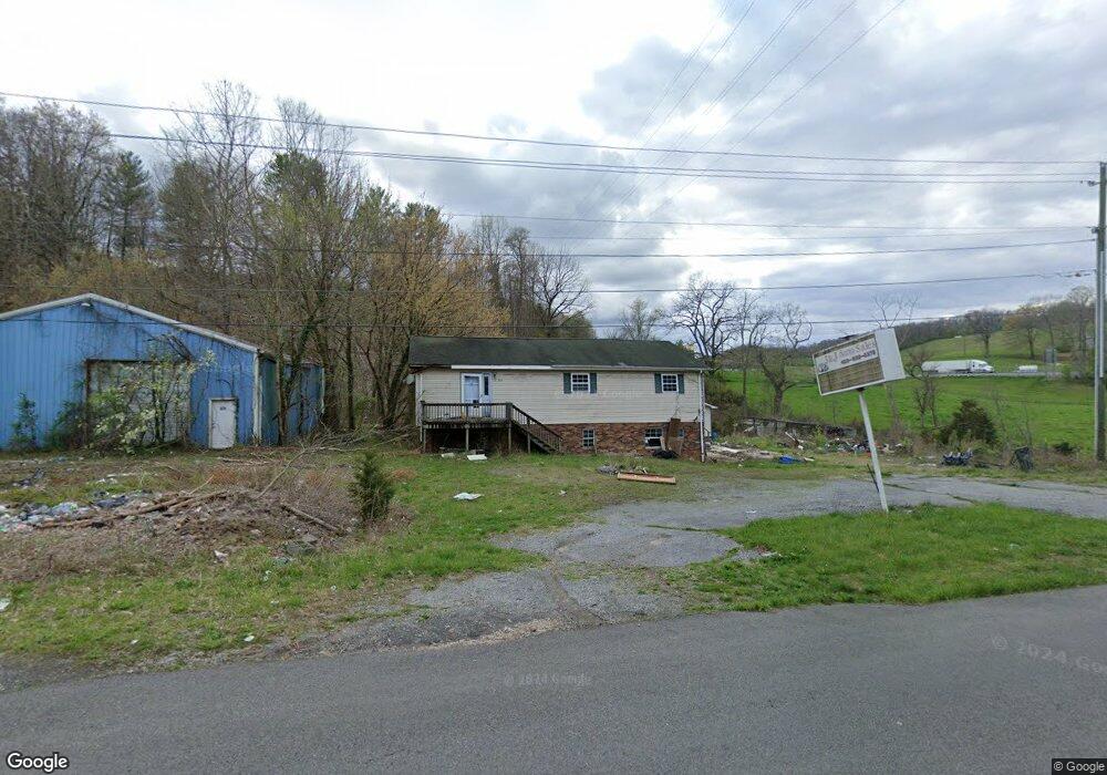
573 Walnut Hill Rd Bristol, TN 37620
Walnut Hill NeighborhoodEstimated Value: $120,000 - $303,000
--
Bed
3
Baths
1,410
Sq Ft
$138/Sq Ft
Est. Value
About This Home
This home is located at 573 Walnut Hill Rd, Bristol, TN 37620 and is currently estimated at $194,865, approximately $138 per square foot. 573 Walnut Hill Rd is a home located in Sullivan County with nearby schools including Holston Elementary School, Sullivan Central Middle School, and Tri-Cities Christian School.
Ownership History
Date
Name
Owned For
Owner Type
Purchase Details
Closed on
Oct 30, 2009
Sold by
Hood Allyn
Bought by
Neal Jessee
Current Estimated Value
Purchase Details
Closed on
Jan 22, 2008
Sold by
Miles Neal Jessee
Bought by
Allyn Hood
Purchase Details
Closed on
May 30, 2003
Sold by
Dolly Neal and Dolly Jessie
Bought by
Angie Neal
Purchase Details
Closed on
May 30, 1996
Sold by
All State Motors Of
Bought by
Jesse Neal
Home Financials for this Owner
Home Financials are based on the most recent Mortgage that was taken out on this home.
Original Mortgage
$23,000
Interest Rate
7.94%
Create a Home Valuation Report for This Property
The Home Valuation Report is an in-depth analysis detailing your home's value as well as a comparison with similar homes in the area
Home Values in the Area
Average Home Value in this Area
Purchase History
| Date | Buyer | Sale Price | Title Company |
|---|---|---|---|
| Neal Jessee | -- | -- | |
| Allyn Hood | -- | -- | |
| Angie Neal | $30,000 | -- | |
| Jesse Neal | $24,500 | -- |
Source: Public Records
Mortgage History
| Date | Status | Borrower | Loan Amount |
|---|---|---|---|
| Previous Owner | Jesse Neal | $23,000 |
Source: Public Records
Tax History Compared to Growth
Tax History
| Year | Tax Paid | Tax Assessment Tax Assessment Total Assessment is a certain percentage of the fair market value that is determined by local assessors to be the total taxable value of land and additions on the property. | Land | Improvement |
|---|---|---|---|---|
| 2024 | $198 | $7,925 | $1,900 | $6,025 |
| 2023 | $191 | $7,925 | $1,900 | $6,025 |
| 2022 | $937 | $38,950 | $1,900 | $37,050 |
| 2021 | $937 | $38,950 | $1,900 | $37,050 |
| 2020 | $476 | $38,950 | $1,900 | $37,050 |
| 2019 | $862 | $33,550 | $1,900 | $31,650 |
| 2018 | $856 | $33,550 | $1,900 | $31,650 |
| 2017 | $856 | $33,550 | $1,900 | $31,650 |
| 2016 | $621 | $24,125 | $1,900 | $22,225 |
| 2014 | -- | $24,141 | $0 | $0 |
Source: Public Records
Map
Nearby Homes
- 2069 Highway 11w
- 0 Highway 11w
- 850 Meadow View Rd
- 455 Carlton Rd
- 377 Carlton Rd
- 1281 Highway 126
- 636 Meadow View Rd
- 2127 6th St
- 1549 Highway 126
- 210 Circle Rd
- 1476 Highway 126 Unit A6
- Tba Blountville Hwy
- 120 Rock Rd
- 107 Dover Ln
- 352 Deck Valley Ln
- 315 Cook Hollow Rd
- 108 Ball Rd
- 208 Wimberly Way
- 251 Rock Creek Dr
- 281 Cook Hollow Rd
- 345 Sourwood Hills Rd
- 571 Walnut Hill Rd
- 334 Sourwood Hills Rd
- 4792 Island Rd
- 514 Walnut Hill Rd
- 638 Walnut Hill Rd
- 212 Hill Country Trail
- 496 Walnut Hill Rd
- 324 Upland Way
- 213 Hill Country Trail
- 302 Upland Way
- 317 Upland Way
- 247 Hill Country Trail
- TBA Upland Way
- 263 Hill Country Trail
- 4892 Island Rd
- 4893 Island Rd
- 301 Upland Way
- 456 Walnut Hill Rd
- 247 Steeles Rd