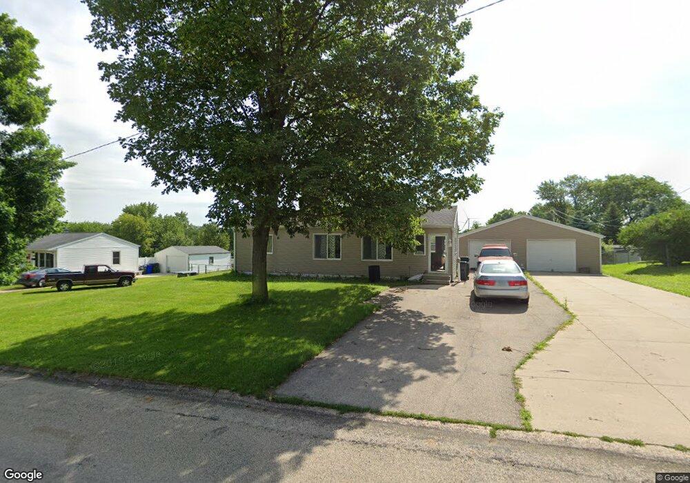
5731 J St SW Cedar Rapids, IA 52404
Lincolnway Village NeighborhoodEstimated Value: $180,000 - $239,000
2
Beds
2
Baths
8,944
Sq Ft
$22/Sq Ft
Est. Value
About This Home
This home is located at 5731 J St SW, Cedar Rapids, IA 52404 and is currently estimated at $198,517, approximately $22 per square foot. 5731 J St SW is a home located in Linn County with nearby schools including Prairie Heights Elementary School, Prairie View Elementary School, and Prairie Crest Elementary School.
Ownership History
Date
Name
Owned For
Owner Type
Purchase Details
Closed on
Jul 30, 2016
Sold by
Stick Jordan J and Stick Crystal Dawn
Bought by
Kerker Sarah and Ohrt Teresa
Current Estimated Value
Purchase Details
Closed on
Aug 7, 2009
Sold by
Bird Richard D and Bird Deborah S
Bought by
Stick Jordan J and Ohrt Crystal D
Home Financials for this Owner
Home Financials are based on the most recent Mortgage that was taken out on this home.
Original Mortgage
$107,025
Interest Rate
5.49%
Mortgage Type
FHA
Purchase Details
Closed on
May 29, 2002
Sold by
Eich Chad W and Eich April M
Bought by
Bird Richard D and Bird Deborah S
Purchase Details
Closed on
Feb 25, 1999
Sold by
Beardsley Clarence L and Beardsley Joan E
Bought by
Eich Chad W
Home Financials for this Owner
Home Financials are based on the most recent Mortgage that was taken out on this home.
Original Mortgage
$64,800
Interest Rate
6.92%
Create a Home Valuation Report for This Property
The Home Valuation Report is an in-depth analysis detailing your home's value as well as a comparison with similar homes in the area
Home Values in the Area
Average Home Value in this Area
Purchase History
| Date | Buyer | Sale Price | Title Company |
|---|---|---|---|
| Kerker Sarah | -- | None Available | |
| Stick Jordan J | $108,500 | None Available | |
| Bird Richard D | $79,500 | -- | |
| Eich Chad W | $71,500 | -- |
Source: Public Records
Mortgage History
| Date | Status | Borrower | Loan Amount |
|---|---|---|---|
| Previous Owner | Stick Jordan J | $107,025 | |
| Previous Owner | Eich Chad W | $64,800 |
Source: Public Records
Tax History Compared to Growth
Tax History
| Year | Tax Paid | Tax Assessment Tax Assessment Total Assessment is a certain percentage of the fair market value that is determined by local assessors to be the total taxable value of land and additions on the property. | Land | Improvement |
|---|---|---|---|---|
| 2025 | $2,828 | $176,400 | $29,800 | $146,600 |
| 2024 | $2,710 | $163,300 | $29,800 | $133,500 |
| 2023 | $2,710 | $159,700 | $29,800 | $129,900 |
| 2022 | $2,614 | $131,200 | $25,500 | $105,700 |
| 2021 | $2,528 | $129,200 | $25,500 | $103,700 |
| 2020 | $2,528 | $119,600 | $21,300 | $98,300 |
| 2019 | $2,330 | $112,400 | $21,300 | $91,100 |
| 2018 | $2,452 | $112,400 | $21,300 | $91,100 |
| 2017 | $2,452 | $106,700 | $21,300 | $85,400 |
| 2016 | $2,142 | $99,000 | $21,300 | $77,700 |
| 2015 | $2,142 | $108,920 | $21,250 | $87,670 |
| 2014 | $2,344 | $108,920 | $21,250 | $87,670 |
| 2013 | $2,228 | $108,920 | $21,250 | $87,670 |
Source: Public Records
Map
Nearby Homes
- 5750 J St SW
- 6601 Ohio St SW
- 5610 Briarwood St SW
- 62 Oklahoma Ave SW
- 6620 Preston Terrace Ct SW
- 5655 Deerwood St SW
- 51 Oklahoma Ave SW
- 270 Miller Ave SW
- 72 Miller Ave SW Unit 8
- 0 6th St & 76th Ave SW Unit 202505956
- 7000 Harlan Eddy Dr SW
- 6812 Artesa Bell Dr SW
- 7006 Colpepper Dr SW
- 142 Brighton Cir SW
- 6612 Artesa Bell Dr SW
- 7113 Chenango Ln SW
- 137 Woodstone Ln SW
- 107 Woodstone Ln SW
- 160 Bethany Loop SW Unit A
- 160 Bethany Loop SW Unit C