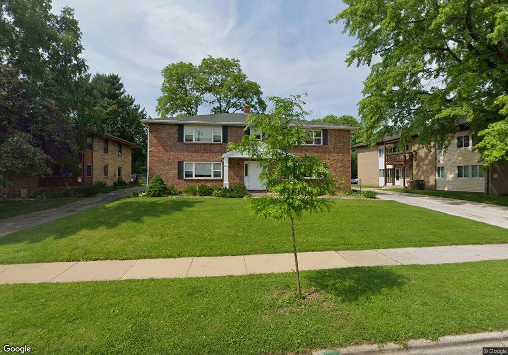
5734 Russett Rd Madison, WI 53711
Meadowood NeighborhoodEstimated Value: $369,039 - $597,000
2
Beds
1
Bath
750
Sq Ft
$652/Sq Ft
Est. Value
About This Home
This home is located at 5734 Russett Rd, Madison, WI 53711 and is currently estimated at $488,760, approximately $651 per square foot. 5734 Russett Rd is a home located in Dane County with nearby schools including Orchard Ridge Elementary School, Toki Middle School, and Vel Phillips Memorial High School.
Ownership History
Date
Name
Owned For
Owner Type
Purchase Details
Closed on
May 8, 2018
Sold by
Grosse Brandon S
Bought by
5734 Russett Llc
Current Estimated Value
Purchase Details
Closed on
Dec 29, 2016
Sold by
Ruckus Properties Llc
Bought by
Accord Properties Llc
Purchase Details
Closed on
Mar 22, 2010
Sold by
Kondaur Capital Corporation
Bought by
Ruckus Properties Llc
Purchase Details
Closed on
Oct 29, 2009
Sold by
Pangilinan Jaide C
Bought by
Kondaur Capital Corporation
Create a Home Valuation Report for This Property
The Home Valuation Report is an in-depth analysis detailing your home's value as well as a comparison with similar homes in the area
Home Values in the Area
Average Home Value in this Area
Purchase History
| Date | Buyer | Sale Price | Title Company |
|---|---|---|---|
| 5734 Russett Llc | -- | None Available | |
| Grosse Brandon S | -- | None Available | |
| Accord Properties Llc | $201,500 | None Available | |
| Ruckus Properties Llc | $128,500 | None Available | |
| Kondaur Capital Corporation | -- | None Available |
Source: Public Records
Tax History Compared to Growth
Tax History
| Year | Tax Paid | Tax Assessment Tax Assessment Total Assessment is a certain percentage of the fair market value that is determined by local assessors to be the total taxable value of land and additions on the property. | Land | Improvement |
|---|---|---|---|---|
| 2024 | $15,766 | $450,000 | $131,000 | $319,000 |
| 2023 | $7,315 | $405,000 | $119,000 | $286,000 |
| 2021 | $7,052 | $332,000 | $98,000 | $234,000 |
| 2020 | $6,414 | $289,000 | $98,000 | $191,000 |
| 2019 | $6,124 | $275,000 | $98,000 | $177,000 |
| 2018 | $5,665 | $255,000 | $97,800 | $157,200 |
| 2017 | $4,622 | $201,500 | $97,800 | $103,700 |
| 2016 | $4,990 | $211,500 | $93,800 | $117,700 |
| 2015 | $4,801 | $201,500 | $93,800 | $107,700 |
| 2014 | $4,804 | $201,500 | $93,800 | $107,700 |
| 2013 | $5,123 | $201,500 | $93,800 | $107,700 |
Source: Public Records
Map
Nearby Homes
- 5701 Bartlett Ln
- 5826 Balsam Rd
- 2118 Gilbert Rd
- 5517 Dorsett Dr
- 1506 Lynndale Rd
- 2218 Teal Dr
- 6017 Mayhill Dr
- 2201 Tawhee Dr
- 5837 Suffolk Rd
- 6305-6307 Hammersley Rd
- 5201 Hammersley Rd
- 2621 Smithfield Dr Unit 3
- 403 Williamsburg Way Ct Unit 403
- 2310 Ravenswood Rd
- 2207 Frisch Rd
- 6106 Davenport Dr
- 13 Jacobs Ct
- 6210 Davenport Dr
- 4922 Knox Ln
- 1718 Reetz Rd
- 5738 Russett Rd Unit 1
- 5738 Russett Rd
- 5726 Russett Rd
- 5726 Russett Rd Unit 6
- 5726 Russett Rd (8 Unit)
- 5742 Russett Rd Unit 1
- 5717 Bartlett Ln
- 5721 Bartlett Ln
- 5713 Bartlett Ln
- 5802 Russett Rd
- 5802 Russett Rd Unit 4
- 5725 Bartlett Ln
- 5709 Bartlett Ln
- 5806 Russett Rd
- 5801 Bartlett Ln
- 5714 Russett Rd
- 5718 Bartlett Ln
- 5802 Raymond Rd
- 5714 Bartlett Ln
- 5722 Bartlett Ln