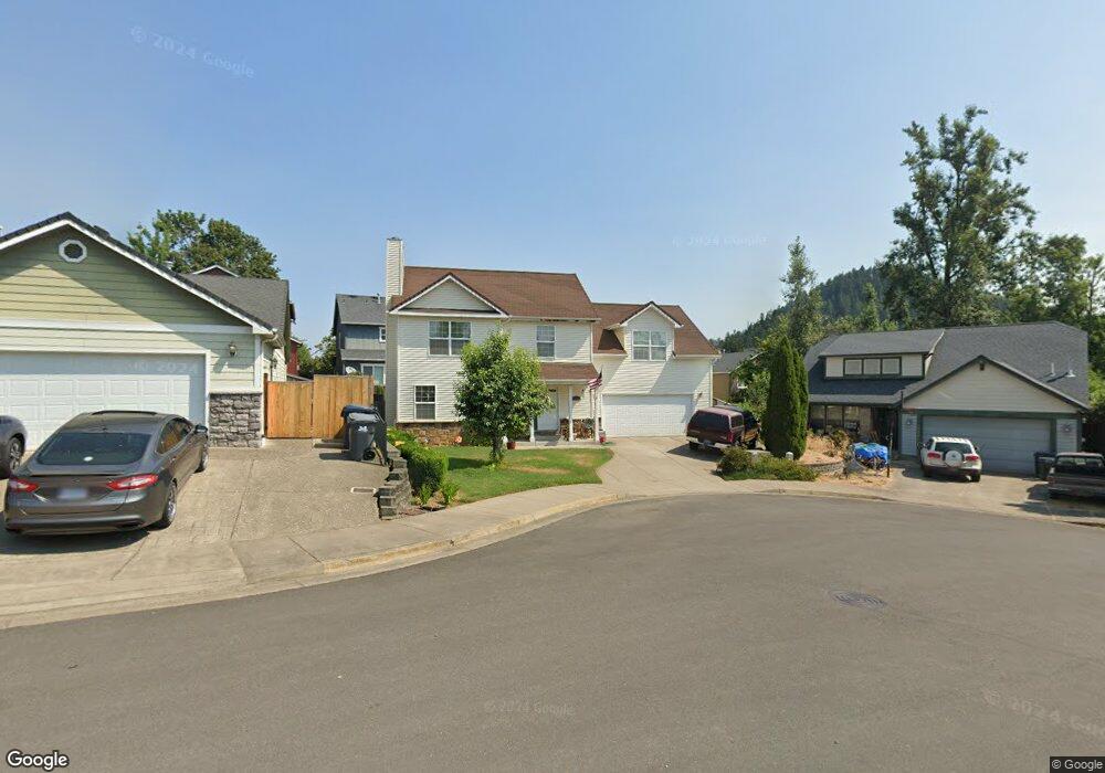
5736 Peridot Way Springfield, OR 97478
Thurston NeighborhoodEstimated Value: $447,000 - $534,000
3
Beds
3
Baths
1,884
Sq Ft
$259/Sq Ft
Est. Value
About This Home
This home is located at 5736 Peridot Way, Springfield, OR 97478 and is currently estimated at $487,492, approximately $258 per square foot. 5736 Peridot Way is a home located in Lane County with nearby schools including Riverbend Elementary School, Agnes Stewart Middle School, and Thurston High School.
Ownership History
Date
Name
Owned For
Owner Type
Purchase Details
Closed on
Jul 13, 2007
Sold by
Clouse John W and Clouse Lynne M
Bought by
Heffner Darrell M and Heffner Araceli
Current Estimated Value
Home Financials for this Owner
Home Financials are based on the most recent Mortgage that was taken out on this home.
Original Mortgage
$248,950
Interest Rate
6.41%
Mortgage Type
Construction
Create a Home Valuation Report for This Property
The Home Valuation Report is an in-depth analysis detailing your home's value as well as a comparison with similar homes in the area
Home Values in the Area
Average Home Value in this Area
Purchase History
| Date | Buyer | Sale Price | Title Company |
|---|---|---|---|
| Heffner Darrell M | $89,000 | First American Title |
Source: Public Records
Mortgage History
| Date | Status | Borrower | Loan Amount |
|---|---|---|---|
| Closed | Heffner Darrell M | $248,950 |
Source: Public Records
Tax History
| Year | Tax Paid | Tax Assessment Tax Assessment Total Assessment is a certain percentage of the fair market value that is determined by local assessors to be the total taxable value of land and additions on the property. | Land | Improvement |
|---|---|---|---|---|
| 2025 | $4,756 | $259,345 | -- | -- |
| 2024 | $4,679 | $251,792 | -- | -- |
| 2023 | $4,679 | $244,459 | $0 | $0 |
| 2022 | $4,333 | $237,339 | $0 | $0 |
| 2021 | $4,256 | $230,427 | $0 | $0 |
| 2020 | $4,131 | $223,716 | $0 | $0 |
| 2019 | $4,007 | $217,200 | $0 | $0 |
| 2018 | $3,777 | $204,732 | $0 | $0 |
| 2017 | $3,632 | $204,732 | $0 | $0 |
| 2016 | $3,556 | $198,769 | $0 | $0 |
| 2015 | $3,454 | $192,980 | $0 | $0 |
| 2014 | $3,402 | $187,359 | $0 | $0 |
Source: Public Records
Map
Nearby Homes
- 5761 Mt Vernon Rd
- 5972 Mount Vernon Rd
- 5241 Holly St
- 5247 Holly St
- 1981 S 59th St
- 6050 Pebble Ct
- 421 S 58th St
- 5177 Holly St
- 5145 Holly St
- 5150 Holly St
- 5292 Squirrel St
- 5335 Main St Unit 236
- 5335 Main St
- 5335 Main St Unit 184
- 5335 Main St Unit 197
- 5335 Main St Unit 7
- 5335 Main St Unit 154
- 5335 Main St Unit 187
- 5142 Holly St
- 5128 Holly St
- 5724 Peridot Way
- 5753 Mt Vernon Rd
- 5749 Mt Vernon Rd
- 5757 Mt Vernon Rd
- 5744 Peridot Way Unit 11
- 5745 Mt Vernon Rd
- 5761 Mount Vernon Rd
- 5741 Peridot Way
- 5743 Mt Vernon Rd
- 5722 Peridot Way
- 5741 Mt Vernon Rd
- 5729 Peridot Way
- 5733 Peridot Way
- 5765 Mt Vernon Rd
- 5799 Mt Vernon Rd
- 5795 Mt Vernon Rd
- 5721 Mt Vernon Rd
- 5787 Mt Vernon Rd
- 5787 Mount Vernon Rd
- 5773 Mt Vernon Rd
Your Personal Tour Guide
Ask me questions while you tour the home.