5739 Barfield Cir Unit 21 Memphis, TN 38120
East Memphis NeighborhoodEstimated Value: $190,472 - $206,000
3
Beds
3
Baths
2,056
Sq Ft
$97/Sq Ft
Est. Value
About This Home
This home is located at 5739 Barfield Cir Unit 21, Memphis, TN 38120 and is currently estimated at $200,157, approximately $97 per square foot. 5739 Barfield Cir Unit 21 is a home located in Shelby County with nearby schools including Richland Elementary School, White Station Middle, and White Station High.
Ownership History
Date
Name
Owned For
Owner Type
Purchase Details
Closed on
Sep 20, 2018
Sold by
White Edwini Dean and White Lisa Parkins
Bought by
Traylor Catrina
Current Estimated Value
Home Financials for this Owner
Home Financials are based on the most recent Mortgage that was taken out on this home.
Original Mortgage
$120,000
Interest Rate
4.5%
Mortgage Type
Commercial
Purchase Details
Closed on
Aug 25, 2006
Sold by
Dumont Mary
Bought by
White Edwin Dean and White Lisa Parkins
Home Financials for this Owner
Home Financials are based on the most recent Mortgage that was taken out on this home.
Original Mortgage
$101,600
Interest Rate
6.67%
Mortgage Type
Purchase Money Mortgage
Create a Home Valuation Report for This Property
The Home Valuation Report is an in-depth analysis detailing your home's value as well as a comparison with similar homes in the area
Home Values in the Area
Average Home Value in this Area
Purchase History
| Date | Buyer | Sale Price | Title Company |
|---|---|---|---|
| Traylor Catrina | $125,000 | None Available | |
| White Edwin Dean | $127,000 | None Available |
Source: Public Records
Mortgage History
| Date | Status | Borrower | Loan Amount |
|---|---|---|---|
| Closed | Traylor Catrina | $120,000 | |
| Previous Owner | White Edwin Dean | $101,600 |
Source: Public Records
Tax History
| Year | Tax Paid | Tax Assessment Tax Assessment Total Assessment is a certain percentage of the fair market value that is determined by local assessors to be the total taxable value of land and additions on the property. | Land | Improvement |
|---|---|---|---|---|
| 2025 | $1,084 | $48,675 | $4,500 | $44,175 |
| 2024 | $1,084 | $31,975 | $4,500 | $27,475 |
| 2023 | $1,948 | $31,975 | $4,500 | $27,475 |
| 2022 | $1,948 | $31,975 | $4,500 | $27,475 |
| 2021 | $1,103 | $31,975 | $4,500 | $27,475 |
| 2020 | $1,895 | $26,150 | $4,500 | $21,650 |
| 2019 | $836 | $26,150 | $4,500 | $21,650 |
| 2018 | $836 | $26,150 | $4,500 | $21,650 |
| 2017 | $855 | $26,150 | $4,500 | $21,650 |
| 2016 | $1,311 | $30,000 | $0 | $0 |
Source: Public Records
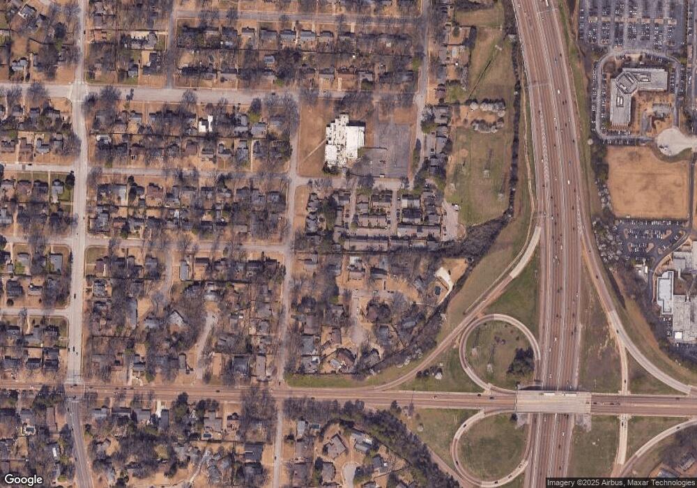
Map
Nearby Homes
- 5681 Normandy Rd
- 5690 Walnut Grove Rd
- 5737 Buxbriar Ave
- 50 Grove Dale St
- 5704 Ashbriar Ave
- 5680 N Angela Rd
- 5575 Walnut Grove Rd
- 248 N Yates Rd
- 99 Lynnfield St
- 5504 Normandy Rd
- 71 N Oak Grove Rd
- 5429 Walnut Grove Rd
- 233 Lynnfield St
- 5516 Sycamore Grove Ln
- 5385 Walnut Grove Rd
- 377 Fountain Lake Dr
- 5524 Fountain Bay Dr
- 5330 Walnut Grove Rd
- 155 Ascot Park Common Dr
- 321 Shady Woods Cove
- 5731 Barfield Cir Unit 12
- 5741 Barfield Cir Unit 22
- 5735 Barfield Cir Unit 13
- 5743 Barfield Cir Unit 23
- 5729 Barfield Cir Unit 11
- 5747 Barfield Cir Unit 24
- 5727 Barfield Cir Unit 10
- 5738 Barfield Cir
- 5736 Woodbriar Cove
- 5720 Woodbriar Cove
- 5725 Barfield Cir Unit 9
- 5742 Barfield Cir Unit 19
- 5736 Barfield Cir Unit 15
- 5751 Barfield Cir Unit 25
- 5745 Barfield Cir
- 5744 Barfield Cir Unit 20
- 80 N East Yates Rd
- 5742 Woodbriar Cove
- 5721 Barfield Cir
- 5723 Barfield Cir