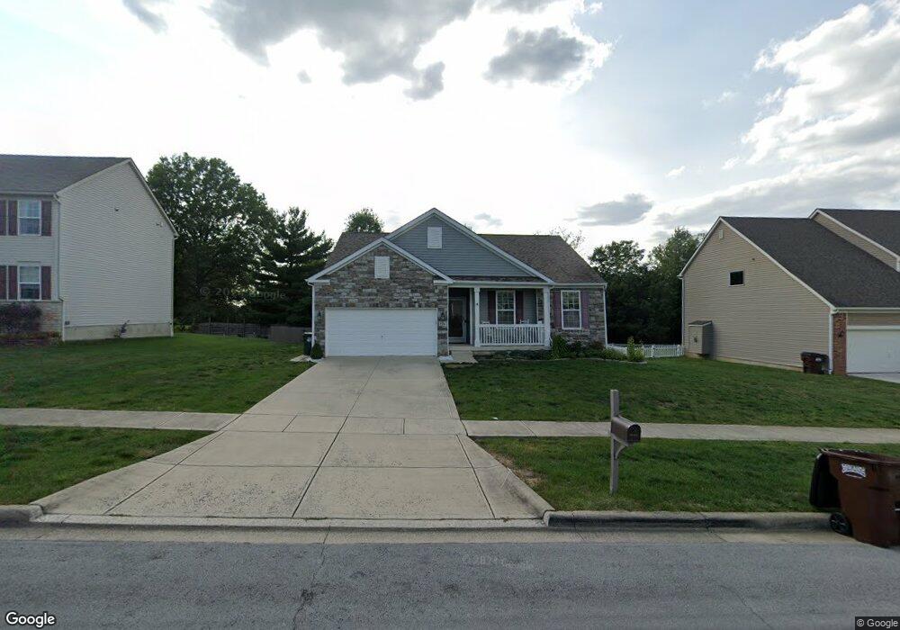
574 Rolling Acre Dr Lithopolis, OH 43136
Bloom NeighborhoodEstimated Value: $360,807 - $468,000
3
Beds
2
Baths
1,603
Sq Ft
$249/Sq Ft
Est. Value
About This Home
This home is located at 574 Rolling Acre Dr, Lithopolis, OH 43136 and is currently estimated at $399,702, approximately $249 per square foot. 574 Rolling Acre Dr is a home with nearby schools including Bloom Carroll Primary School, Bloom Carroll Intermediate School, and Bloom-Carroll Middle School.
Ownership History
Date
Name
Owned For
Owner Type
Purchase Details
Closed on
Nov 19, 2014
Sold by
Westport Homes Inc
Bought by
Preble Mary S
Current Estimated Value
Home Financials for this Owner
Home Financials are based on the most recent Mortgage that was taken out on this home.
Original Mortgage
$232,523
Outstanding Balance
$175,843
Interest Rate
3.97%
Mortgage Type
New Conventional
Estimated Equity
$223,859
Purchase Details
Closed on
Jul 15, 2013
Sold by
Diyanni Brothers Inc
Bought by
Westport Homes Inc
Create a Home Valuation Report for This Property
The Home Valuation Report is an in-depth analysis detailing your home's value as well as a comparison with similar homes in the area
Home Values in the Area
Average Home Value in this Area
Purchase History
| Date | Buyer | Sale Price | Title Company |
|---|---|---|---|
| Preble Mary S | $227,900 | Talon Title | |
| Westport Homes Inc | $105,000 | Valmer Land Title Agency |
Source: Public Records
Mortgage History
| Date | Status | Borrower | Loan Amount |
|---|---|---|---|
| Open | Preble Mary S | $232,523 |
Source: Public Records
Tax History
| Year | Tax Paid | Tax Assessment Tax Assessment Total Assessment is a certain percentage of the fair market value that is determined by local assessors to be the total taxable value of land and additions on the property. | Land | Improvement |
|---|---|---|---|---|
| 2025 | $7,486 | $115,990 | $41,630 | $74,360 |
| 2024 | $7,486 | $94,280 | $16,530 | $77,750 |
| 2023 | $3,865 | $94,280 | $16,530 | $77,750 |
| 2022 | $3,896 | $94,280 | $16,530 | $77,750 |
| 2021 | $3,580 | $78,730 | $16,530 | $62,200 |
| 2020 | $3,620 | $78,730 | $16,530 | $62,200 |
| 2019 | $3,632 | $78,730 | $16,530 | $62,200 |
| 2018 | $3,037 | $67,120 | $16,530 | $50,590 |
| 2017 | $2,854 | $67,120 | $16,530 | $50,590 |
| 2016 | $2,808 | $67,120 | $16,530 | $50,590 |
| 2015 | $2,788 | $64,860 | $16,530 | $48,330 |
| 2014 | $705 | $16,530 | $16,530 | $0 |
| 2013 | $705 | $16,530 | $16,530 | $0 |
Source: Public Records
Map
Nearby Homes
- 680 Crestview Dr
- 631 Rolling Acre Dr
- 678 Green Forest Place
- 517 Market St Unit 517
- 539 S Market St
- 0 Sycamore Bluff Way
- 19 W Columbus St
- 0 Columbus St Unit 225023784
- 89 Wheatley St
- 1375 Hansberry Dr
- 777 Faulkner Dr
- 607 Eastman Ave
- 146 Poe Ave
- 891 Orwell St
- 94 Sandburg Dr
- 248 Faulkner Dr
- 197 Faulkner Dr
- 5225 Lithopolis Winchester Rd NW
- 5225 Lithopolis Winchester Nw Rd
- 9758 Perrill Rd
- 592 Rolling Acre Dr
- 556 Rolling Acre Dr
- 538 Rolling Acre Dr
- 610 Rolling Acre Dr Unit Lot 18
- 579 Rolling Acre Dr Unit 21
- 579 Rolling Acre Dr
- 565 Rolling Acre Dr
- 585 Rolling Acre Dr Unit Lot 23
- 599 Rolling Acre Dr
- 921 Green Forest Place
- 551 Rolling Acre Dr
- 520 Rolling Acre Dr
- 628 Rolling Acre Dr
- 702 Crestview Dr
- 719 Green Forest Place
- 646 Rolling Acre Dr
- 646 Rolling Acre Dr Unit lot 15
- 502 Rolling Acre Dr
- 701 Green Forest Place
- 4316 Winchester Southern Rd
Your Personal Tour Guide
Ask me questions while you tour the home.