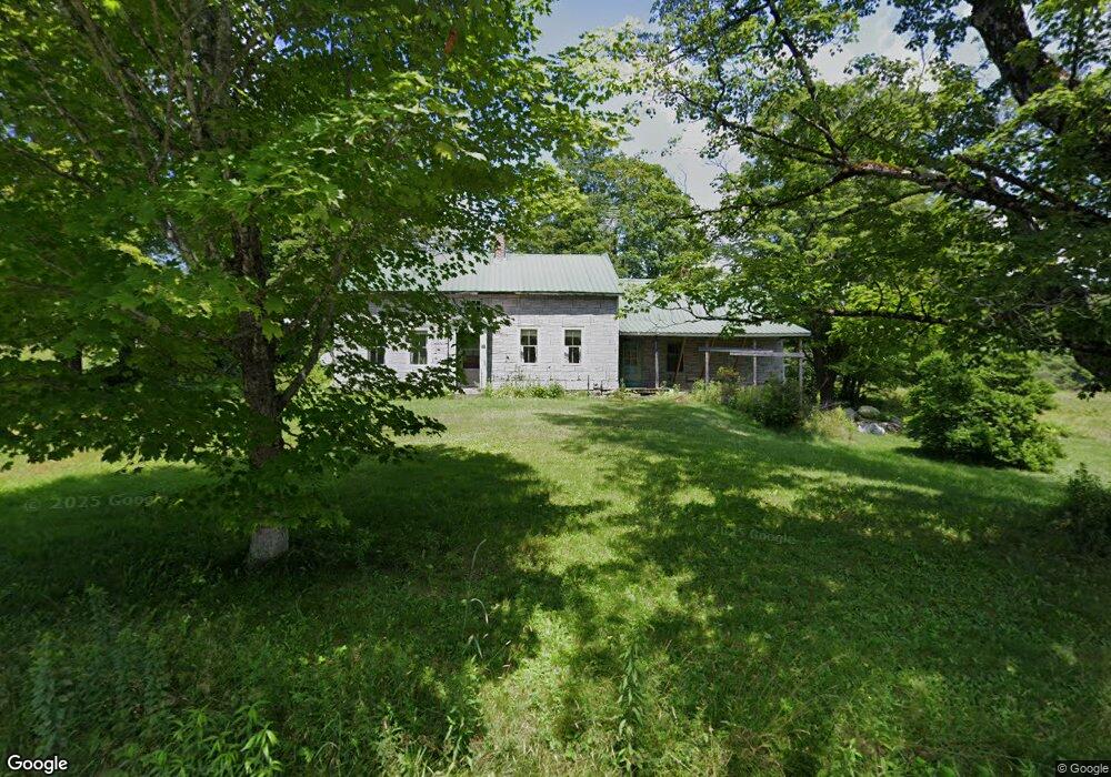
574 Route 8a Heath, MA 01346
Heath NeighborhoodEstimated Value: $199,000 - $366,000
3
Beds
1
Bath
1,449
Sq Ft
$176/Sq Ft
Est. Value
About This Home
This home is located at 574 Route 8a, Heath, MA 01346 and is currently estimated at $254,521, approximately $175 per square foot. 574 Route 8a is a home with nearby schools including Mohawk Trail Regional High School.
Ownership History
Date
Name
Owned For
Owner Type
Purchase Details
Closed on
Jan 8, 2007
Sold by
Smith Michael D and Smith Crystal A
Bought by
Crossman Zebediah C and Zarish Courtney L
Current Estimated Value
Home Financials for this Owner
Home Financials are based on the most recent Mortgage that was taken out on this home.
Original Mortgage
$108,000
Outstanding Balance
$64,648
Interest Rate
6.24%
Mortgage Type
Purchase Money Mortgage
Estimated Equity
$189,873
Create a Home Valuation Report for This Property
The Home Valuation Report is an in-depth analysis detailing your home's value as well as a comparison with similar homes in the area
Home Values in the Area
Average Home Value in this Area
Purchase History
| Date | Buyer | Sale Price | Title Company |
|---|---|---|---|
| Crossman Zebediah C | $158,000 | -- |
Source: Public Records
Mortgage History
| Date | Status | Borrower | Loan Amount |
|---|---|---|---|
| Open | Crossman Zebediah C | $108,000 |
Source: Public Records
Tax History
| Year | Tax Paid | Tax Assessment Tax Assessment Total Assessment is a certain percentage of the fair market value that is determined by local assessors to be the total taxable value of land and additions on the property. | Land | Improvement |
|---|---|---|---|---|
| 2025 | $2,530 | $134,500 | $39,000 | $95,500 |
| 2024 | $2,603 | $127,400 | $35,000 | $92,400 |
| 2023 | $2,624 | $114,700 | $25,600 | $89,100 |
| 2022 | $2,452 | $114,000 | $25,600 | $88,400 |
| 2021 | $2,473 | $109,800 | $25,500 | $84,300 |
| 2020 | $2,285 | $102,700 | $24,400 | $78,300 |
| 2019 | $2,218 | $102,700 | $24,400 | $78,300 |
| 2018 | $2,240 | $102,700 | $24,400 | $78,300 |
| 2017 | $2,219 | $105,700 | $24,400 | $81,300 |
| 2016 | $2,168 | $105,700 | $24,400 | $81,300 |
| 2015 | $2,110 | $105,700 | $24,400 | $81,300 |
Source: Public Records
Map
Nearby Homes
- 594 Massachusetts 8a
- 442 Mcmillan Rd
- 1192 Chapel Hill Rd
- 2173 Vermont 8a
- 251 Phillips Hill Rd
- Lot 121 Davis Mine Rd
- 14 South Rd
- 829 Pennel Hill Rd
- 8 Deer Run Path
- 1033 Burrington Hill Rd
- 104 Karen Day Rd
- 1587 Upper Holbrook Rd
- 292 Deer Hill Rd
- 843 Kentfield Rd
- 233 Poverty Row
- 127 County Rd
- 295 Jacksonville Rd
- 0 W Oxbow Rd Unit 73453651
- 0 W Oxbow Rd Unit 248444
- 7139 Vermont Route 100
- 260 Route 8a N
- 0 Sadoga Rd
- 0 Sadoga Rd Unit 70479764
- 0 Sadoga Rd Unit 70069223
- 0 Sadoga Rd Unit 70591639
- 0 Sadoga Rd Unit 30437502
- 0 Sadoga Rd Unit 72489715
- 12 Sadoga Rd
- 250 Route 8a N
- 562 Route 8a
- 17 Sadoga Rd
- 93 Route 8a N
- 8 North St
- 8 North St
- 8 North St
- 25 W Branch Rd
- 13 W Branch Rd
- 19 Sadoga Rd
- 13 W Branch Rd
Your Personal Tour Guide
Ask me questions while you tour the home.