575 Bridge Rd Unit 15 Florence, MA 01062
Florence NeighborhoodEstimated Value: $306,000 - $363,000
2
Beds
2
Baths
1,064
Sq Ft
$319/Sq Ft
Est. Value
About This Home
This home is located at 575 Bridge Rd Unit 15, Florence, MA 01062 and is currently estimated at $339,551, approximately $319 per square foot. 575 Bridge Rd Unit 15 is a home located in Hampshire County with nearby schools including Northampton High School, The Montessori School of Northampton, and Lander Grinspoon Academy.
Ownership History
Date
Name
Owned For
Owner Type
Purchase Details
Closed on
Sep 21, 2020
Sold by
Yentsch Keegan J and Modenos Lisa
Bought by
Judd Laura E
Current Estimated Value
Home Financials for this Owner
Home Financials are based on the most recent Mortgage that was taken out on this home.
Original Mortgage
$171,200
Outstanding Balance
$151,929
Interest Rate
2.9%
Mortgage Type
New Conventional
Estimated Equity
$187,622
Create a Home Valuation Report for This Property
The Home Valuation Report is an in-depth analysis detailing your home's value as well as a comparison with similar homes in the area
Home Values in the Area
Average Home Value in this Area
Purchase History
| Date | Buyer | Sale Price | Title Company |
|---|---|---|---|
| Judd Laura E | $232,000 | None Available |
Source: Public Records
Mortgage History
| Date | Status | Borrower | Loan Amount |
|---|---|---|---|
| Open | Judd Laura E | $171,200 |
Source: Public Records
Tax History Compared to Growth
Tax History
| Year | Tax Paid | Tax Assessment Tax Assessment Total Assessment is a certain percentage of the fair market value that is determined by local assessors to be the total taxable value of land and additions on the property. | Land | Improvement |
|---|---|---|---|---|
| 2025 | $4,863 | $349,100 | $0 | $349,100 |
| 2024 | $4,284 | $282,000 | $0 | $282,000 |
| 2023 | $3,436 | $216,900 | $0 | $216,900 |
| 2022 | $4,040 | $225,800 | $0 | $225,800 |
| 2021 | $3,120 | $179,600 | $0 | $179,600 |
| 2020 | $2,873 | $171,000 | $0 | $171,000 |
| 2019 | $2,970 | $171,000 | $0 | $171,000 |
| 2018 | $2,831 | $166,300 | $0 | $166,300 |
| 2017 | $2,776 | $166,300 | $0 | $166,300 |
| 2016 | $2,687 | $166,300 | $0 | $166,300 |
| 2015 | $2,628 | $166,300 | $0 | $166,300 |
| 2014 | $2,559 | $166,300 | $0 | $166,300 |
Source: Public Records
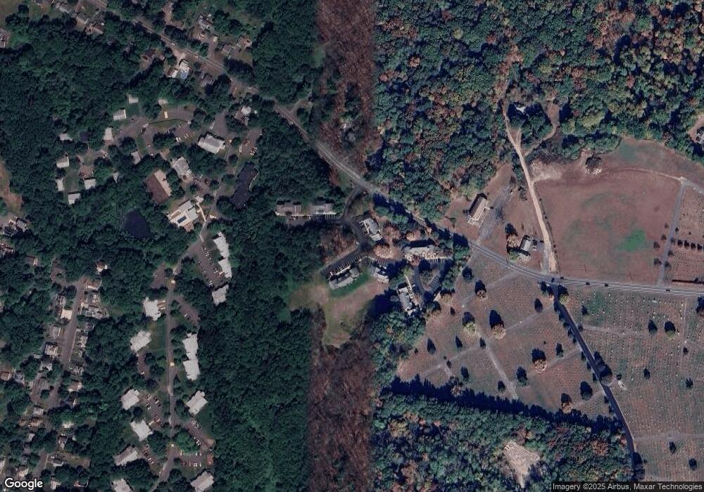
Map
Nearby Homes
- 0 Terrace Ln
- 152 S Main St Unit 8
- 152 S Main St Unit 4
- 76 Cooke Ave
- 76 Maple St
- 67 Park St Unit A
- 67 Park St Unit B
- 67 Park St Unit D
- 63 Riverside Dr
- 36 Landy Ave
- 37 Landy Ave
- 84 N Main St
- 74 Barrett St Unit 105
- 61 Woodlawn Ave
- 225 Nonotuck St Unit C
- 14 Arlington St
- 11 Norwood Ave
- 80 Damon Rd Unit 5104
- 80 Damon Rd Unit 8203
- 32 Stonewall Dr
- 575 Bridge Rd Unit 8-6
- 575 Bridge Rd Unit 26
- 575 Bridge Rd Unit 25
- 575 Bridge Rd Unit 24
- 575 Bridge Rd Unit 23
- 575 Bridge Rd Unit 22
- 575 Bridge Rd Unit 8-1
- 575 Bridge Rd Unit 9-8
- 575 Bridge Rd Unit 9-7
- 575 Bridge Rd Unit 9-6
- 575 Bridge Rd Unit 9-5
- 575 Bridge Rd Unit 9-4
- 575 Bridge Rd Unit 9-3
- 575 Bridge Rd Unit 9-2
- 575 Bridge Rd Unit 9-1
- 575 Bridge Rd Unit 7-6
- 575 Bridge Rd Unit 14
- 575 Bridge Rd Unit 13
- 575 Bridge Rd Unit 12
- 575 Bridge Rd Unit 7-1