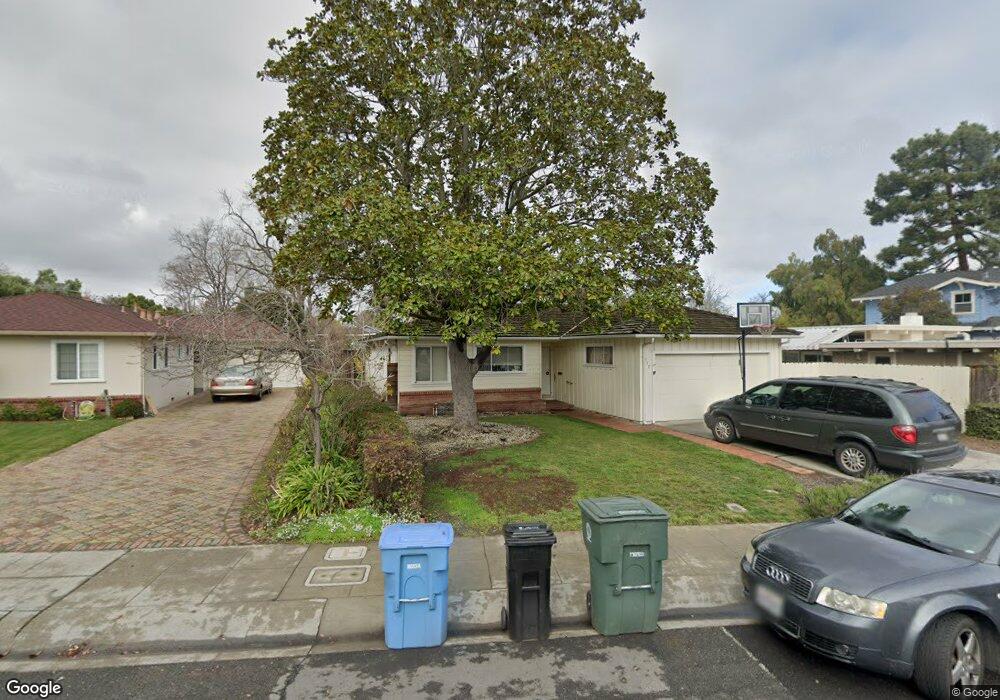
577 Bryson Ave Palo Alto, CA 94306
Midtown Palo Alto NeighborhoodEstimated Value: $3,285,991 - $3,327,000
3
Beds
2
Baths
1,484
Sq Ft
$2,232/Sq Ft
Est. Value
About This Home
This home is located at 577 Bryson Ave, Palo Alto, CA 94306 and is currently estimated at $3,312,748, approximately $2,232 per square foot. 577 Bryson Ave is a home located in Santa Clara County with nearby schools including El Carmelo Elementary School, Jane Lathrop Stanford Middle School, and Palo Alto High School.
Ownership History
Date
Name
Owned For
Owner Type
Purchase Details
Closed on
Nov 9, 2020
Sold by
Pettegrew Clara Sue and Pettegrew James
Bought by
Pettegrew Clara Sue and Pettegrew James
Current Estimated Value
Purchase Details
Closed on
Dec 20, 2002
Sold by
Pettegrew James E
Bought by
Pettegrew James E and Pettegrew Clara Sue
Purchase Details
Closed on
Mar 25, 2002
Sold by
Pettegrew John B and Pettegrew James E
Bought by
Pettegrew James E
Create a Home Valuation Report for This Property
The Home Valuation Report is an in-depth analysis detailing your home's value as well as a comparison with similar homes in the area
Home Values in the Area
Average Home Value in this Area
Purchase History
| Date | Buyer | Sale Price | Title Company |
|---|---|---|---|
| Pettegrew Clara Sue | -- | None Available | |
| Pettegrew James E | -- | -- | |
| Pettegrew James E | $635,000 | First American Title Co |
Source: Public Records
Tax History Compared to Growth
Tax History
| Year | Tax Paid | Tax Assessment Tax Assessment Total Assessment is a certain percentage of the fair market value that is determined by local assessors to be the total taxable value of land and additions on the property. | Land | Improvement |
|---|---|---|---|---|
| 2025 | $2,170 | $99,970 | $38,320 | $61,650 |
| 2024 | $2,170 | $98,011 | $37,569 | $60,442 |
| 2023 | $2,133 | $96,090 | $36,833 | $59,257 |
| 2022 | $2,099 | $94,207 | $36,111 | $58,096 |
| 2021 | $2,057 | $92,360 | $35,403 | $56,957 |
| 2020 | $2,032 | $91,413 | $35,040 | $56,373 |
| 2019 | $2,004 | $89,621 | $34,353 | $55,268 |
| 2018 | $1,970 | $87,865 | $33,680 | $54,185 |
| 2017 | $1,934 | $86,143 | $33,020 | $53,123 |
| 2016 | $1,877 | $84,455 | $32,373 | $52,082 |
| 2015 | $1,852 | $83,187 | $31,887 | $51,300 |
| 2014 | $1,717 | $81,559 | $31,263 | $50,296 |
Source: Public Records
Map
Nearby Homes
- 2685 Cowper St
- 2590 Webster St
- 2760 Byron St
- 151 Colorado Ave
- 1991 Middlefield Rd
- 2573 Park Blvd Unit U204
- 200 Sheridan Ave Unit 303
- 200 Sheridan Ave Unit 304
- 200 Sheridan Ave Unit 103
- 200 Sheridan Ave Unit 307
- 915 Colonial Ln
- 1827 Cowper St
- 3141 David Ct
- 444 Tennyson Ave
- 1826 Waverley St
- 3160 Louis Rd
- 1932 Emerson St
- 627 Tennyson Ave
- 3213 Alma St
- 3 Plan at Acacia
- 567 Bryson Ave
- 587 Bryson Ave
- 557 Bryson Ave
- 595 Bryson Ave
- 2542 Webster St
- 2546 Webster St
- 2550 Webster St
- 547 Bryson Ave
- 601 Bryson Ave
- 2538 Webster St
- 568 Bryson Ave
- 578 Bryson Ave
- 558 Bryson Ave
- 2554 Webster St
- 588 Bryson Ave
- 615 Bryson Ave
- 2534 Webster St
- 548 Bryson Ave
- 596 Bryson Ave
- 2558 Webster St