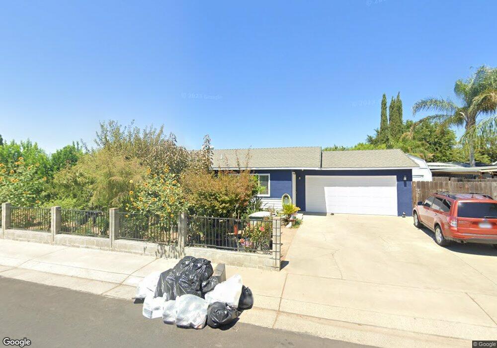
577 Mingo Way Lathrop, CA 95330
East Lathrop NeighborhoodEstimated Value: $428,777 - $487,000
About This Home
This home is located at 577 Mingo Way, Lathrop, CA 95330 and is currently estimated at $453,194, approximately $396 per square foot. 577 Mingo Way is a home located in San Joaquin County with nearby schools including Lathrop Elementary School, Lathrop High School, and BE.TECH Charter High School.
Ownership History
We collect this data history from publicly available records. To have your information removed, we recommend requesting removal directly through your county’s website.
Purchase Details
Home Financials for this Owner
Home Financials are based on the most recent Mortgage that was taken out on this home.Purchase Details
Purchase Details
Home Financials for this Owner
Home Financials are based on the most recent Mortgage that was taken out on this home.Purchase Details
Home Financials for this Owner
Home Financials are based on the most recent Mortgage that was taken out on this home.Purchase Details
Home Financials for this Owner
Home Financials are based on the most recent Mortgage that was taken out on this home.Home Values in the Area
Average Home Value in this Area
Purchase History
We collect this data history from publicly available records. To have your information removed, we recommend requesting removal directly through your county’s website.
| Date | Buyer | Sale Price | Title Company |
|---|---|---|---|
| $130,000 | North American Title Company | ||
| $77,200 | None Available | ||
| $365,000 | Old Republic Title Co | ||
| $209,000 | First Amer Title Co | ||
| $169,000 | First American Title Co |
Mortgage History
We collect this data history from publicly available records. To have your information removed, we recommend requesting removal directly through your county’s website.
| Date | Status | Borrower | Loan Amount |
|---|---|---|---|
| Previous Owner | $128,505 | ||
| Previous Owner | $292,000 | ||
| Previous Owner | $205,770 | ||
| Previous Owner | $166,645 | ||
| Closed | $10,140 |
Tax History
We collect this data history from publicly available records. To have your information removed, we recommend requesting removal directly through your county’s website.
| Year | Tax Paid | Tax Assessment Tax Assessment Total Assessment is a certain percentage of the fair market value that is determined by local assessors to be the total taxable value of land and additions on the property. | Land | Improvement |
|---|---|---|---|---|
| 2025 | $2,225 | $167,395 | $41,203 | $126,192 |
| 2024 | $2,281 | $164,114 | $40,396 | $123,718 |
| 2023 | $2,203 | $160,897 | $39,604 | $121,293 |
| 2022 | $2,172 | $157,743 | $38,828 | $118,915 |
| 2021 | $2,147 | $154,651 | $38,067 | $116,584 |
| 2020 | $2,073 | $153,066 | $37,677 | $115,389 |
| 2019 | $2,047 | $150,066 | $36,939 | $113,127 |
| 2018 | $2,020 | $147,124 | $36,215 | $110,909 |
| 2017 | $1,997 | $144,240 | $35,505 | $108,735 |
| 2016 | $1,953 | $141,412 | $34,809 | $106,603 |
| 2014 | $1,838 | $136,562 | $33,615 | $102,947 |
Map
- 16235 Suzie Q Ln
- 16419 Bizzibe St
- 16074 Warfield Rd
- 197 E Louise Ave
- 911 Toro Ln
- 16439 Carleta Place
- 15940 Warfield Rd
- 15820 S Harlan Rd Unit 5
- 15820 S Harlan Rd Unit 98
- 188 Thomsen Rd
- 2150 Mulholland Dr
- 3098 Mulholland Dr
- 2281 Garden Farms Ave
- 2505 Mulholland Dr
- 260 Patricia Place
- 2840 Wylin Blvd
- 3195 Paxton St
- 15510 Lottie Way
- 15460 5th St
- 379 Valverde Ct
Ask me questions while you tour the home.