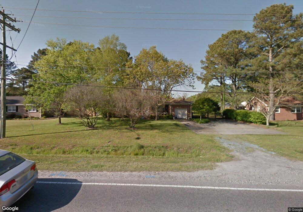
577 Mt Pleasant Rd Chesapeake, VA 23322
Pleasant Grove West NeighborhoodEstimated Value: $381,000 - $446,000
3
Beds
2
Baths
1,545
Sq Ft
$266/Sq Ft
Est. Value
About This Home
This home is located at 577 Mt Pleasant Rd, Chesapeake, VA 23322 and is currently estimated at $411,233, approximately $266 per square foot. 577 Mt Pleasant Rd is a home located in Chesapeake City with nearby schools including Butts Road Primary School, Butts Road Intermediate School, and Great Bridge Middle School.
Ownership History
Date
Name
Owned For
Owner Type
Purchase Details
Closed on
Mar 15, 2022
Sold by
Jeanette Baxley
Bought by
Baxley Jeanette and Astin Pamela Baxley
Current Estimated Value
Purchase Details
Closed on
Aug 14, 2002
Sold by
Murray Danikel H
Bought by
Baxley Jimmy W
Home Financials for this Owner
Home Financials are based on the most recent Mortgage that was taken out on this home.
Original Mortgage
$92,900
Interest Rate
6.39%
Mortgage Type
Purchase Money Mortgage
Create a Home Valuation Report for This Property
The Home Valuation Report is an in-depth analysis detailing your home's value as well as a comparison with similar homes in the area
Home Values in the Area
Average Home Value in this Area
Purchase History
| Date | Buyer | Sale Price | Title Company |
|---|---|---|---|
| Baxley Jeanette | -- | None Listed On Document | |
| Baxley Jimmy W | $138,000 | -- |
Source: Public Records
Mortgage History
| Date | Status | Borrower | Loan Amount |
|---|---|---|---|
| Previous Owner | Baxley Jimmy W | $92,900 |
Source: Public Records
Tax History
| Year | Tax Paid | Tax Assessment Tax Assessment Total Assessment is a certain percentage of the fair market value that is determined by local assessors to be the total taxable value of land and additions on the property. | Land | Improvement |
|---|---|---|---|---|
| 2025 | $3,376 | $351,200 | $170,000 | $181,200 |
| 2024 | $3,376 | $334,300 | $170,000 | $164,300 |
| 2023 | $565 | $314,400 | $160,000 | $154,400 |
| 2022 | $503 | $272,200 | $128,300 | $143,900 |
| 2021 | $503 | $239,300 | $110,000 | $129,300 |
| 2020 | $2,407 | $229,200 | $105,000 | $124,200 |
| 2019 | $2,407 | $229,200 | $105,000 | $124,200 |
| 2018 | $2,459 | $234,200 | $105,000 | $129,200 |
| 2017 | $2,577 | $245,400 | $114,000 | $131,400 |
| 2016 | $2,477 | $235,900 | $104,500 | $131,400 |
| 2015 | $2,445 | $232,900 | $95,000 | $137,900 |
| 2014 | $2,445 | $232,900 | $95,000 | $137,900 |
Source: Public Records
Map
Nearby Homes
- 524 Summit Ridge Dr
- 541 Long Ave
- 660 Etheridge Rd
- 400 Beauregard Dr
- 805 Poplar Ridge Dr
- 412 Warhawks Rd
- 700 Lindenbrook Ln
- 804 Sugar Maple Ln
- 1000 Joan Ct
- 648 Rutherford Dr
- 911 Mount Pleasant Rd
- 712 Jubilee Ct
- 909 Douglas Eley Ln
- 343 Ewell Ln
- 937 Mount Pleasant Rd
- 912 Vikingfield Terrace
- 627 Luray Terrace
- 270 Carawan Ln
- 901 Weeping Willow Dr
- 905 Thistle Ct
- 577 Mount Pleasant Rd
- 573 Mt Pleasant Rd
- 573 Mount Pleasant Rd
- 581 Mount Pleasant Rd
- 581 Mt Pleasant Rd
- 564 Summit Ridge Dr
- 560 Summit Ridge Dr
- 560 Mt Pleasant Rd
- 568 Summit Ridge Dr
- 569 Mt Pleasant Rd
- 569 Mount Pleasant Rd
- 585 Mount Pleasant Rd
- 560 Mount Pleasant Rd
- 558 Summit Ridge Dr
- 585 Mt Pleasant Rd
- 556 Mt Pleasant Rd
- 556 Mount Pleasant Rd
- 560 Rebel Rd
- 565 Summit Ridge Dr
- 565 Mount Pleasant Rd
Your Personal Tour Guide
Ask me questions while you tour the home.